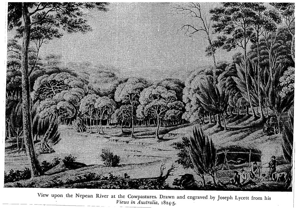
The Upper Nepean River
The Nepean River is part of the Hawkesbury-Nepean Catchment, which stretches from Goulburn in the south, to Lithgow in the west, Kandos in the north and the Illawarra Escarpment in the east.
The catchment is one of the longest coastal rivers in Australia.
It is one of the major placemaking features of the Camden area, creating a unique landform defined by the river channel, the floodplain, and the gorges.
The Camden district is part of the Upper Nepean River catchment, which is upstream of the Bents Basin sandstone gorge. The major settlements are Camden, Narellan, Cobbitty, Picton, Tahmoor, Bargo and a host of small villages.
Explore this area through some maps in this post – Upper Nepean River: Cultural and Environmental Insights
Flooding
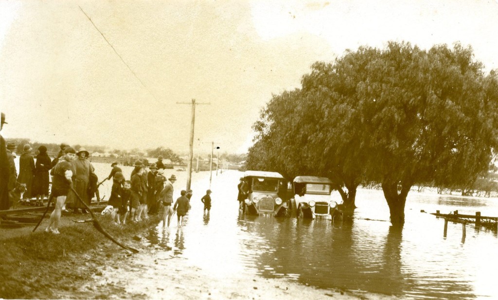
One of the defining characteristics of the local settlement pattern is the effect of flooding by the Nepean River.
The floodplain encircles the Camden town area, creating an open space that surrounds the township, like a moat.
Flooding defines the area’s sense of place and community identity. Read this post – Flooding in the Hawkesbury-Nepean River Valley
The Nepean River landform provides unique challenges and dangers during flooding called the ‘Bathtub Effect’. Read about them in this post – The hidden dangers of Camden’s bathtub effect
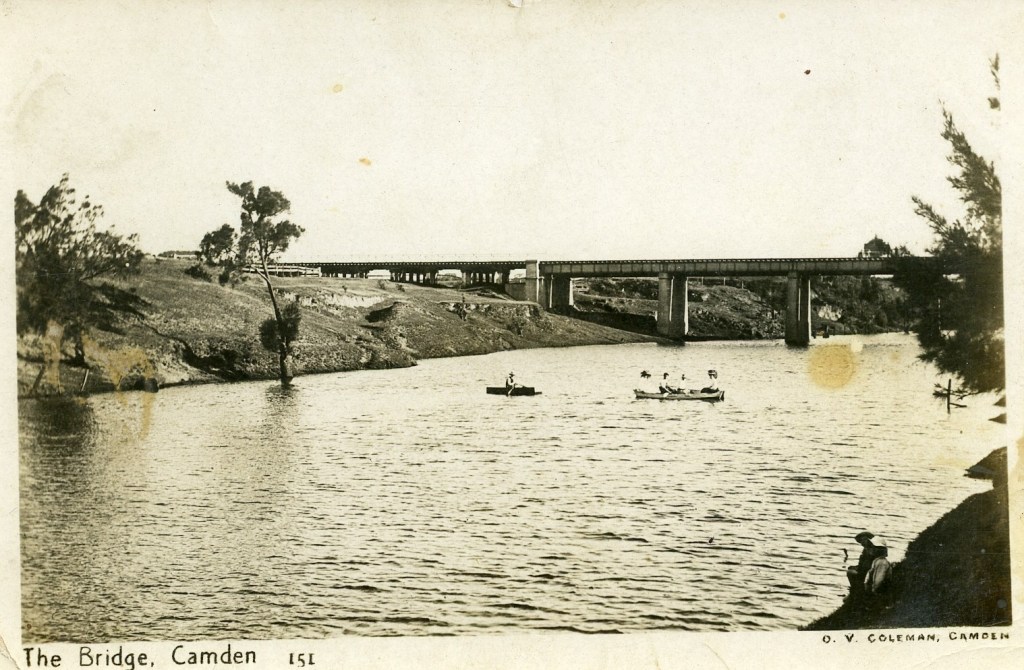
Bridges
There are several bridges across the Nepean River in the Camden district. They include the Cowpastures Bridge, which has undergone several reincarnations. Read about The Cowpastures Bridge here – The Cowpastures Bridge at the Nepean River crossing and the Macarthur Bridge here – Macarthur Bridge

Examine the story of the Little Sandy footbridge across the Nepean River at the bottom of Chellaston Street, Camden, here – Little Sandy Footbridge Reopens: A Community Treasure
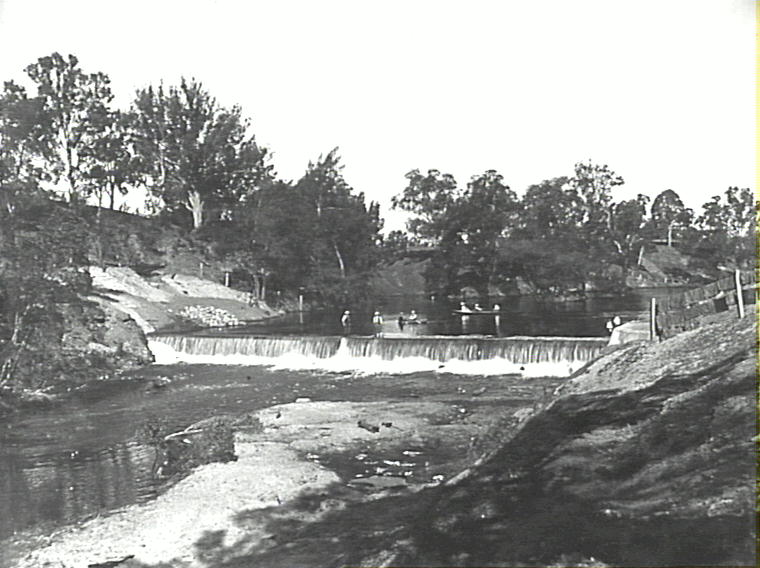
The Weirs
The Nepean River has several compensation weirs built in the early 20th century by the NSW water authorities. These include the Camden Weir and the Cobbitty Weir.
Recreation
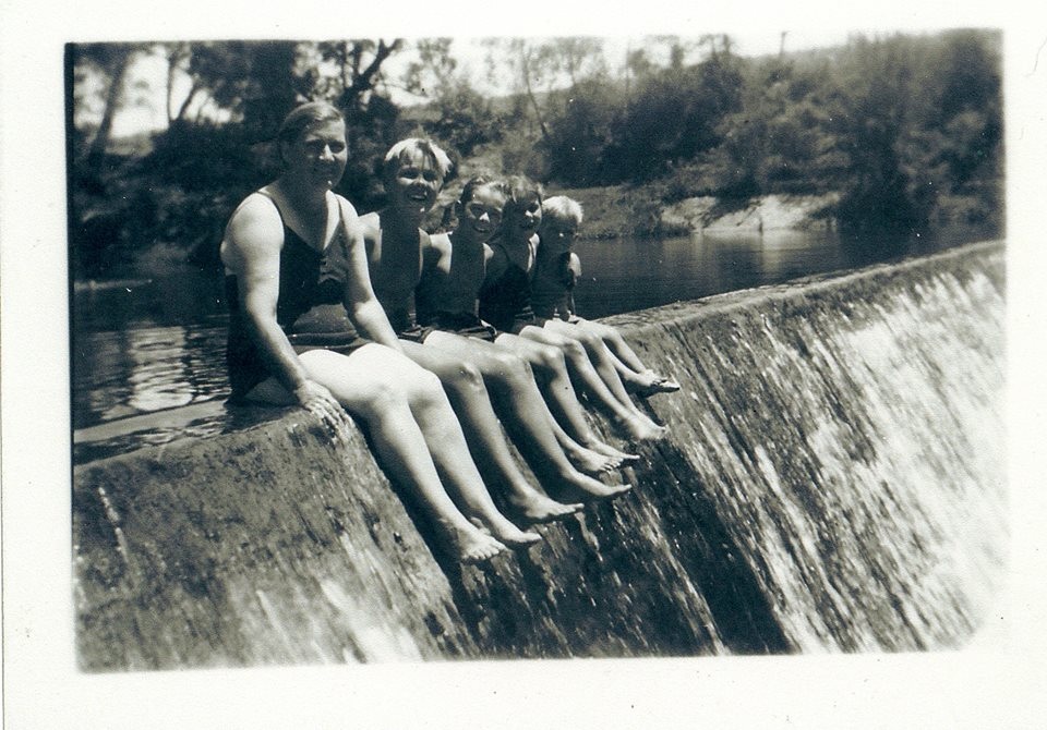
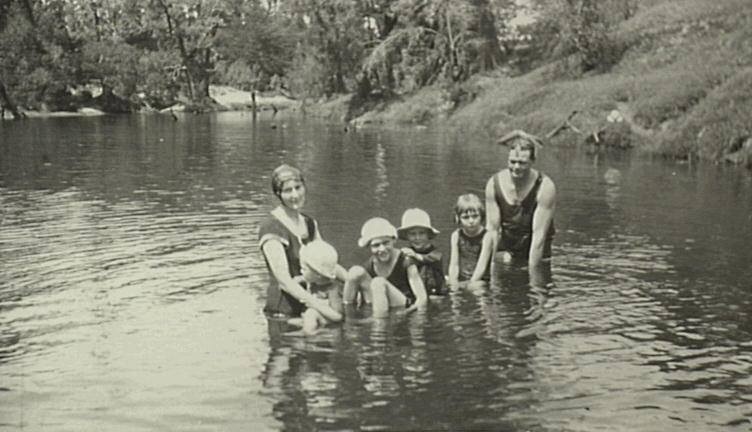
From the 19th century onwards, the river has been the centre of entertainment and local sports, including swimming, canoeing, and simply enjoying the water.
Little Sandy swimming area and footbridge
Explore the history of Little Sandy on the Nepean River as a swimming area and examine the story of the footbridge from its construction in World War Two in this post – Little Sandy Footbridge Reopens: A Community Treasure
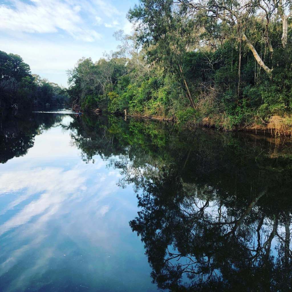
Aesthetic appeal
The Nepean River has aesthetic appeal as a water body and as a site for recreation and other activities. Explore this post – The Nepean River and Nepean River, more than a water view
Water Supply
Until town water was supplied from Kenny Hill, the townsfolk drew water from the river for drinking.
Farming and Irrigation
The Nepean River and its floodplain have been a site for agriculture.
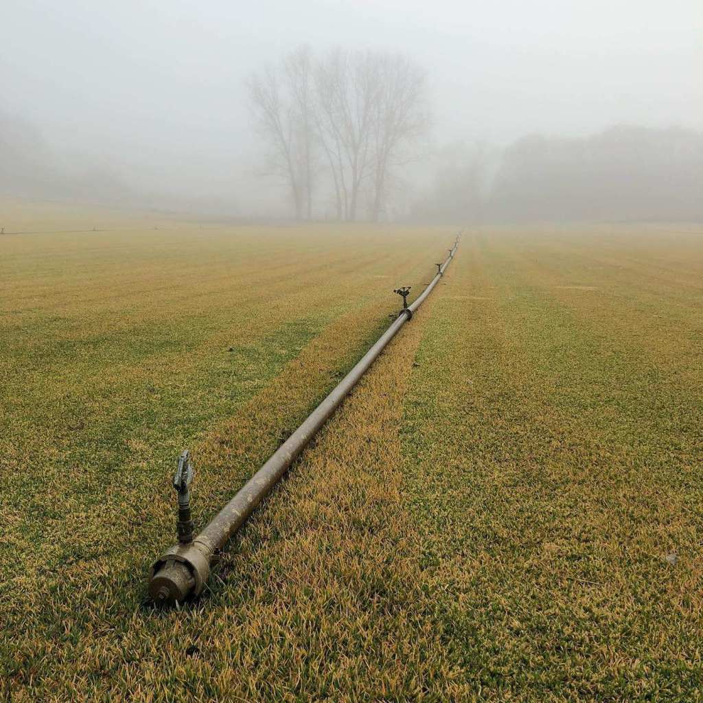
The local Chinese market gardeners utilised the floodplain for intensive horticulture, supported by irrigation infrastructure that drew water from the river.
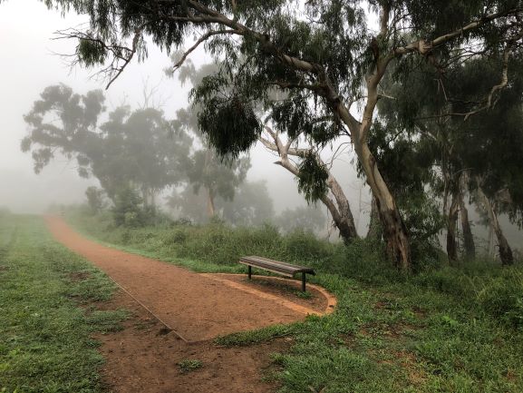
River Walking Trails
There are several walking trails along the Nepean River floodplain in and around the township of Camden. Explore the Nepean River trail and others in this post – Top Walking Trails in Camden: Experience Walking the Cowpastures