
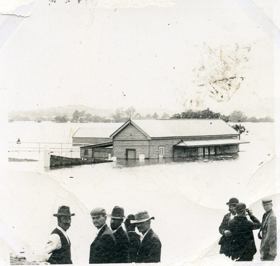
The Nepean River's 'bathtub effect' refers to the unique flooding impact created by the river's landform. The Hawkesbury-Nepean River's four gorges result in localized floodplains, causing a 'bathtub effect' during periods of high rainfall. These characteristics make the area susceptible to significant flood risk, impacting local communities.
Month: November 2019

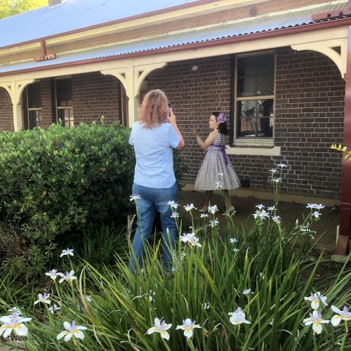
Making short films to promote the 2019 Camden Jacarada festival
A group of amateur filmmakers undertook a photoshoot in the Camden town centre to promote the 2019 Camden Jacaranda Festival.

