
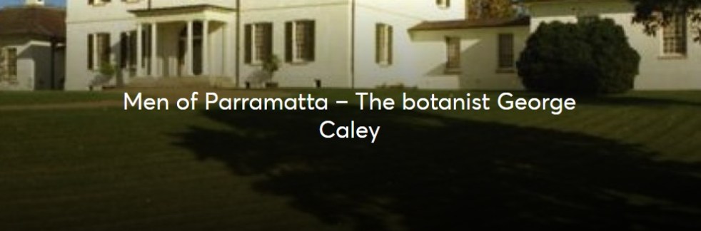
George Caley (1770–1829) explored the Cowpastures in New South Wales and reported in 1804 on the thriving wild cattle there, suggesting the name "Vaccary Forest." Caley's knowledge of "vaccaries," common in medieval England, influenced his preference for this term over the existing one. He extensively documented his findings during his decade-long exploration in Australia.
Category: Nepean River

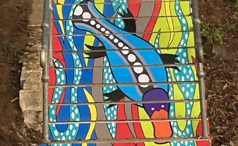
Exploring ‘By the River’: A Public Art Installation in Camden
Danielle Mate's art installation, "By the River," adorning the stairs between Chellaston Reserve and Little Sandy footbridge, features a platypus motif that reflects local Indigenous heritage. Commissioned by Camden Council and developed with community input, it enhances the area while celebrating its rich cultural history and ecology.
Share this:

Share this:
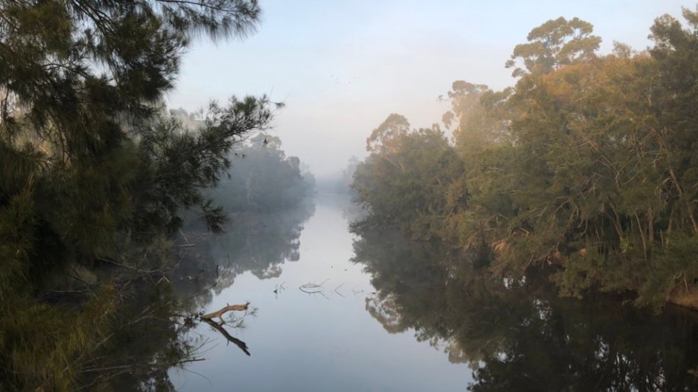
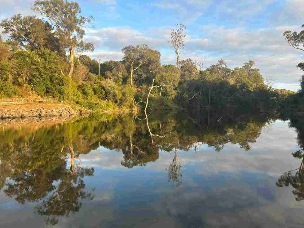
Exploring Little Sandy: Camden’s Hidden Gem
Little Sandy, a cherished location on the Nepean River in Camden, is celebrated for its rich community history and the memories it holds for locals. Enhanced by the Camden Weir, it features a modern footbridge and Aboriginal-inspired artwork, symbolizing its cultural significance as a site of gatherings, swimming, and personal milestones.
Share this:

Share this:
Upper Nepean River: Cultural and Environmental Insights
The Upper Nepean River is the upper catchment of the Hawkesbury-Nepean system, extending over 470 km from Goulburn to the Hunter Valley. Named in 1789, it has a complex history shaped by floods, droughts, and the settlements of Indigenous peoples and Europeans, significantly influencing the region's culture and land use.
Share this:

Share this:
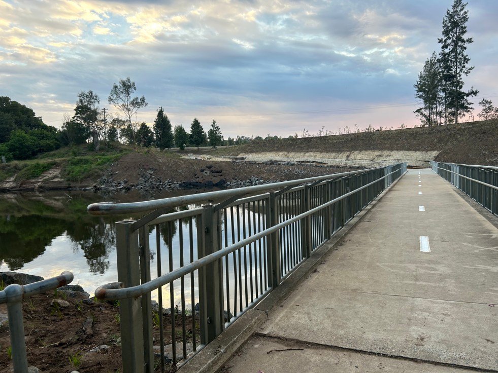
Little Sandy Footbridge Reopens: A Community Treasure
The Little Sandy Footbridge in Camden has reopened, restoring an essential link in the Nepean River Trail after extensive flood-related repairs. Originally constructed during WWII, the bridge has been a beloved community feature, supporting recreational activities for over a century. The project was funded by government sources, totaling $3.7 million.
Share this:

Share this:
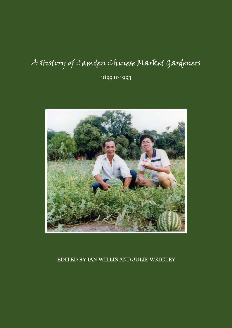
History of Camden Chinese Market Gardeners: Resilience, Innovation, and Struggles
The presentation at Camden Rotary Club details the significant contributions and challenges faced by Chinese market gardeners in Camden. It sheds light on their resilience, innovation, discrimination, and impact on the local economy. The book "A History of Camden Chinese Market Gardeners 1899-1993" emphasizes their agency, making an important contribution to local history and the literature of the Chinese diaspora in Australia.
Share this:

Share this:
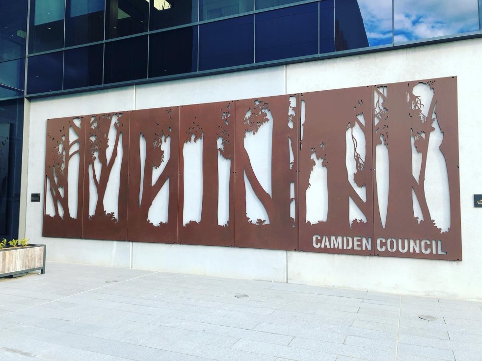
‘The Tree of Life’, public art at Camden Council Administration Offices
The art installation The Tree of Life by sculptors Gillies & Marc celebrates the endangered Camden White Gum. The sculpture is located adjacent to the entry of the Camden Council administration building at Oran Park. The work was commissioned by the council in 2016 for the opening of the new office building.
Share this:

Share this:

Camden, a Macarthur family venture
The establishment of Camden, New South Wales, the town in 1840, was a private venture of James and William Macarthur, sons of colonial patriarch John Macarthur, at the Nepean River crossing on the northern edge of the family’s pastoral property of Camden Park. The town’s site was enclosed on three sides by a sweeping bend in the Nepean River and has regularly flooded the surrounding farmland and lower parts of the town.
Share this:

Share this:
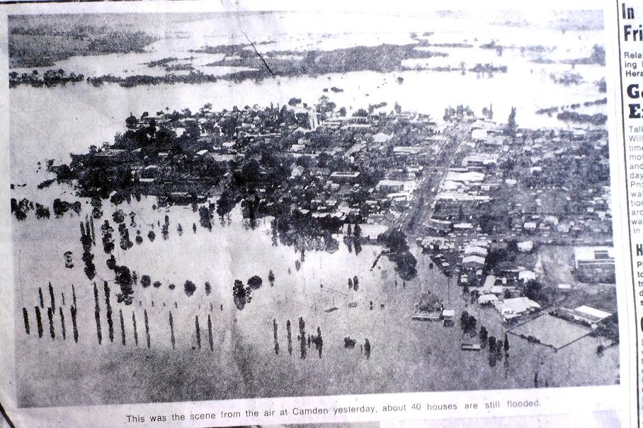
Flooding in the Hawkesbury-Nepean River Valley
The latest heavy rain in the area has sparked concerns about potential flooding, bringing back memories of past events. The Hawkesbury-Nepean River valley's unique landform features contribute to fast-rising and dangerous floods. This situation has led to considerable anxiety and trauma, prompting the need for emotional and trauma support in the affected communities.
Share this:

Share this:
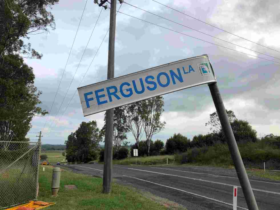
Ferguson’s Australian Nurseries on the urban fringe
The 20th-century story of Ferguson’s Australian Nurseries is about their location within Sydney’s rural-urban fringe.

