

The Sydney Harbour Bridge is an icon on the Sydney urban landscape. The bridge is an engineering marvel of modernism and the early 20th hope of a new nation.
Tag: Engineering Heritage

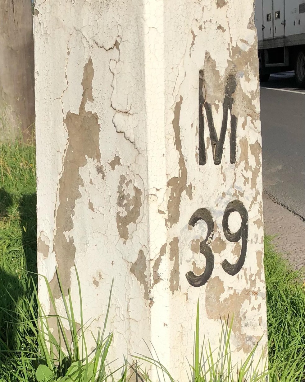
Mileposts captured the distance of the past
The white concrete mileposts in Camden, remnants of the Hume Highway, mark distances to destinations like Sydney and Mittagong. Originating from Roman times, these posts were part of a 1934 initiative to standardize road markers in NSW, aiding both travelers and road maintenance. They reflect Camden's cultural and engineering heritage.
Share this:

Share this:
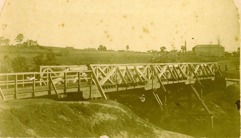
The Cowpastures bridge at the Nepean River crossing
Access across the Nepean River has been an issue since European settlement. The problem was solved by building a bridge with the first in 1826, the next in 1860 followed by 1900 and 1976.
Share this:

Share this:
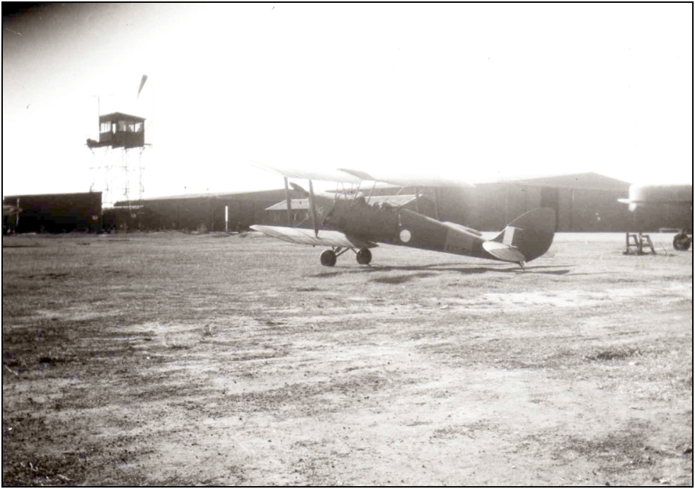
Understanding Bellman Hangars: Camden’s WWII Heritage
Camden Airfield's Bellman hangars, erected during World War II, served as transportable structures for the RAAF Central Flying School under the Empire Air Training Scheme. British-designed by NS Bellman in 1936, these hangars represent Australia's aviation heritage and were crucial for pilot training. Over 280 were supplied across Australia and New Guinea and are part of the country's aviation archaeology.
Share this:

Share this:
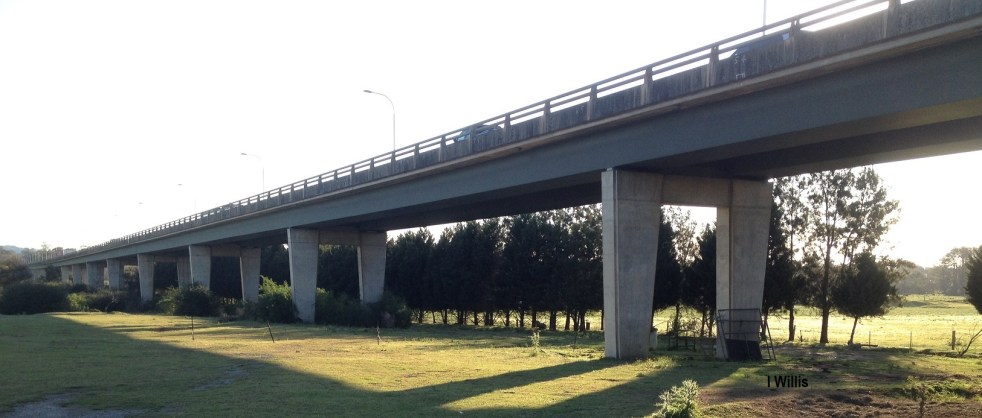
Macarthur Bridge
The Macarthur Bridge across the Nepean River at Camden NSW is an important engineering heritage item.
Share this:

Share this:
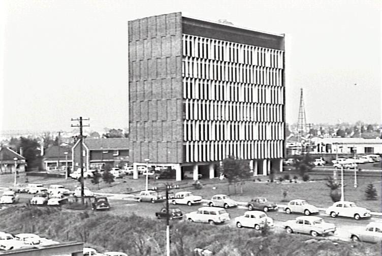
Exploring Campbelltown’s Mid-Century Modern Administration Building
The Campbelltown Council office building, completed in 1964, serves as an unrecognized icon of mid-century modernism, symbolizing the town's optimistic vision as a satellite city. Despite its structural significance and initial hopes for community development, later planning challenges undermined this vision, leaving the building's legacy complex and often overlooked.
Share this:

Share this:
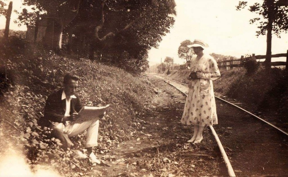
The mysteries of a photograph
How the mysteries of a pretty picture from yesteryear allows you to peel back the layers of the past. Each layer has a meaning and a story that is told by the historian. The stories provide context for the photograph and give it greater meaning.
Share this:

Share this:
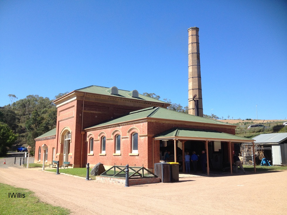
A field of flowers and steam at a festival of living history
Historic Goulburn has a number of important heritage sites including the Waterworks Pumphouse and Riversdale homestead

