
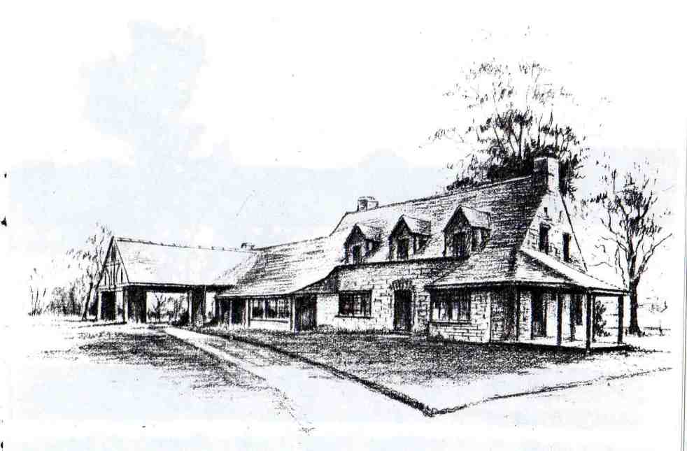
The Camden Vale Inn Milk Bar, opened in 1939, was created to promote disease-free milk from Camden Park Estate during a period of health awareness. Designed in an 'Old English' style by architect Cyril Ruwald, it featured drive-through service and supported the Red Cross during WWII. It later evolved into a restaurant and hotel.
Category: England

George Caley’s 1804 Report on the Vaccary Forest
George Caley (1770–1829) explored the Cowpastures in New South Wales and reported in 1804 on the thriving wild cattle there, suggesting the name "Vaccary Forest." Caley's knowledge of "vaccaries," common in medieval England, influenced his preference for this term over the existing one. He extensively documented his findings during his decade-long exploration in Australia.
Share this:

Share this:

Understanding Liberalism: Key Concepts and Historical Context
Liberalism is a political philosophy emphasizing individual rights, liberty, and equality, rooted in Enlightenment ideals. It evolved from classical liberalism, championing free markets and minimal government, to social liberalism, advocating state intervention for social welfare. Prominent thinkers, including Locke and Mill, shaped liberalism's principles, influencing democratic revolutions and debates on individual freedom.
Share this:

Share this:
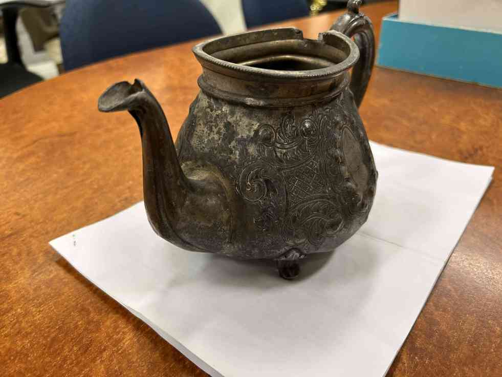
The Fascinating History of Camden’s 1876 Sports Day Trophy
The Camden Museum has acquired a 149-year-old teapot trophy from a sports day on May 24, 1876, celebrating Queen Victoria's birthday. It is the oldest trophy in the museum's collection, reflecting communal festivities and competitive spirit of the era. The trophy was donated by Alf and Sharon Cantrell.
Share this:

Share this:
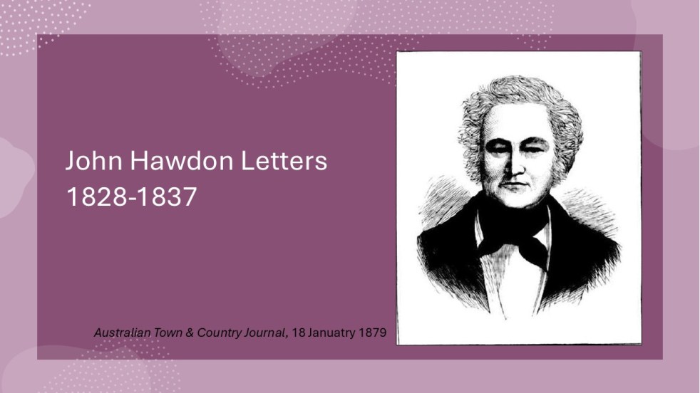
Insights from the Hawdon Letters: Colonial Life in NSW, Part 3, 1833-1837
The letters of John Hawdon and others from 1828 to 1837, preserved in the State Library of NSW, provide insights into colonial life in New South Wales. They highlight themes of isolation, communication challenges, economic struggles, and attitudes toward gender and Indigenous populations, alongside Hawdon's farming experiences and family connections.
Share this:

Share this:
Insights from the Hawdon Letters: Colonial Life in NSW, Part 2, 1831-1833
John Hawdon's letters from New South Wales (1831-1833) reveal colonial life, highlighting farming challenges, isolation from England, and the high costs of communication. These letters provide insights into market conditions, crop successes, and family updates, showcasing the Hawdons' experiences and adaptations in a new land, while retaining original spelling and structure.
Share this:

Share this:
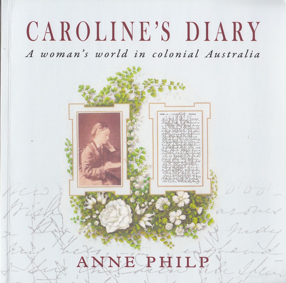
Exploring Caroline’s Diary: A Women’s Perspective on Colonial Australia
Anne Philp's "Caroline’s Diary" narrates the life of Caroline Husband, an Englishwoman who migrated to colonial Australia in the mid-19th century. Through her personal diaries, readers explore her adventures, social life, and experiences from England to New South Wales, providing insights into women's roles and societal dynamics during this period.
Share this:

Share this:
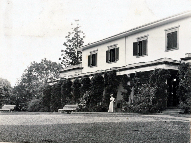
Privacy, piety and power at Camden Park: 1905 Vickery-Ellis marriage
In mid-1905, a private wedding took place at Camden Park between 82-year-old Ebenezer Vickery and 52-year-old Deborah Louise Ellis, a teacher and charity worker. Despite gossip in The Bulletin magazine, which wrongfully described Ellis's age and referred to her as Vickery's 'typewriter,' the wedding was attended by notable figureheads. Vickery, known for his wealth and philanthropy, held positions in various corporations and was involved in mining ventures. Ellis, active in philanthropic circles, played a role in social issues. Their marriage highlighted a complex interplay of privacy, power, and community, reflecting societal attitudes of the era.
Share this:

Share this:

The Camden district, 1840-1973, a field of dreams
The Camden district was historically significant, serving as a social and economic center for over a century. It integrated farming, mining, and community life, shaped by Aboriginal heritage and European settlement. However, modern developments and infrastructural changes led to its decline, transitioning to a regional identity tied to Macarthur area governance and branding.
Share this:

Share this:
The Cowpastures’ English-styled-gentry and their private villages
A certain type of self-styled-English gentry created a landscape in their own vision in the Cowpastures.

