
Western Sydney is a complex, diverse region with numerous communities, recognized by various government levels for planning and investment. Historically significant, it faces socio-economic disparities highlighted by the "Latte Line" and "Red Rooster Line." Recent developments, including the Western Sydney International airport, aim to enhance its identity and economic growth, fostering a sense of place.
Tag: Regionalism


The Camden district, 1840-1973, a field of dreams
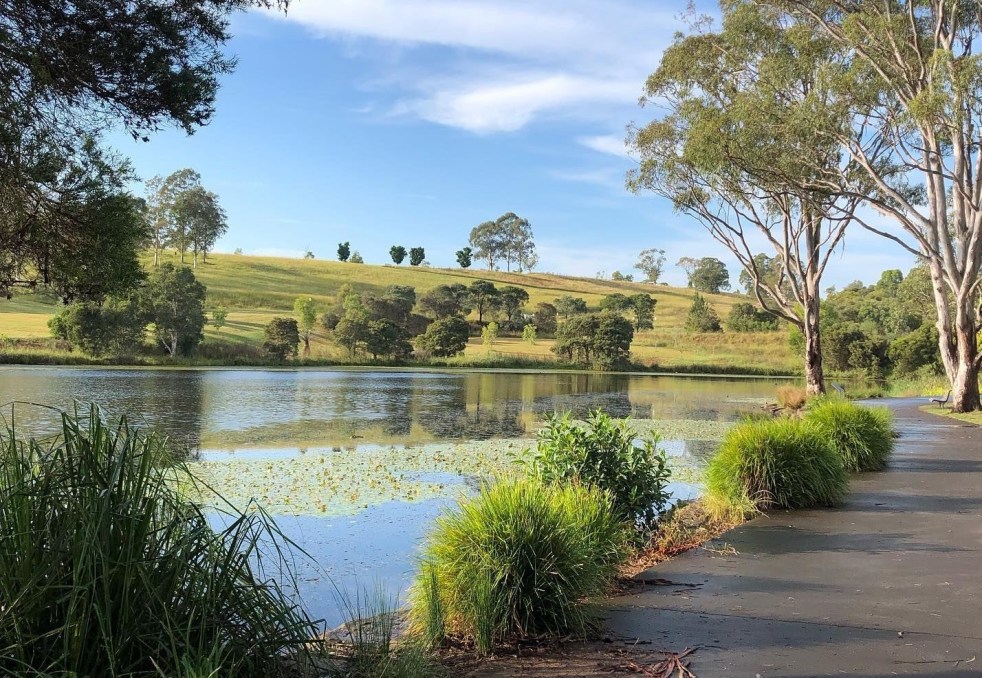
The Camden district was historically significant, serving as a social and economic center for over a century. It integrated farming, mining, and community life, shaped by Aboriginal heritage and European settlement. However, modern developments and infrastructural changes led to its decline, transitioning to a regional identity tied to Macarthur area governance and branding.
Share this:

Share this:

Macarthur regional newspaper history
The story of hard-bitten local newspaper identities and their publications has been told in a recent article published in British academic journal Media History. Local author and historian Ian Willis details the travails of local reporters, printers, owners, and others who made the news across the region for over 140 years.
Share this:

Share this:
Macarthur FC: Symbolism, Regional History, and Nationalism
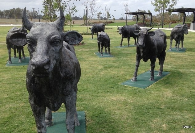
Macarthur FC, the newest A-League team, represents the Macarthur region in soccer. The club's identity is rooted in regional symbols and colors, including ochre to honor the local Dharawal Aboriginal people. Their use of the Macarthur name signifies the colonial and regional history. The club's presence is expected to shape Macarthur's identity and visibility nationally and internationally.
Share this:

Share this:
Exploring the Cowpastures region: the early history of a settler society
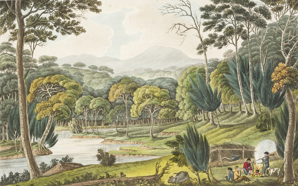
The Cowpastures region, named by Governor Hunter in 1795, reflects a culturally constructed landscape stemming from the 18th century. Originating with wild cattle from the First Fleet, it evolved into a significant colonial area intersecting Indigenous history. The region's identity waned by the late 19th century but is celebrated today for its historical legacy.
Share this:

Share this:
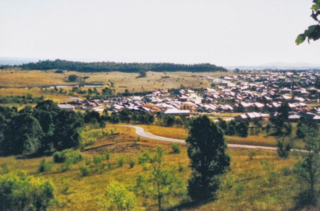
Sydney’s urban sprawl invades the Macarthur region
Urban sprawl has invaded the Macarthur region. It is re-run of the planning policies of the 1970s.

