

The content explores the role of data lists in local history writing, highlighting how they serve as essential research tools for historians. While lists provide foundational facts, they lack narrative context and depth. The post argues for using data lists to enhance storytelling about communities and emphasizes the importance of combining facts with personal stories for a richer historical understanding.
Category: Regionalism

Exploring the Complexities of Western Sydney’s Identity
Western Sydney is a complex, diverse region with numerous communities, recognized by various government levels for planning and investment. Historically significant, it faces socio-economic disparities highlighted by the "Latte Line" and "Red Rooster Line." Recent developments, including the Western Sydney International airport, aim to enhance its identity and economic growth, fostering a sense of place.
Share this:

Share this:
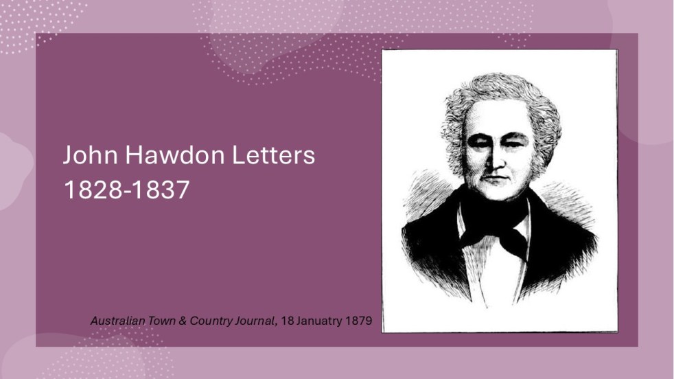
Insights from the Hawdon Letters: Colonial Life in NSW, Part 3, 1833-1837
The letters of John Hawdon and others from 1828 to 1837, preserved in the State Library of NSW, provide insights into colonial life in New South Wales. They highlight themes of isolation, communication challenges, economic struggles, and attitudes toward gender and Indigenous populations, alongside Hawdon's farming experiences and family connections.
Share this:

Share this:
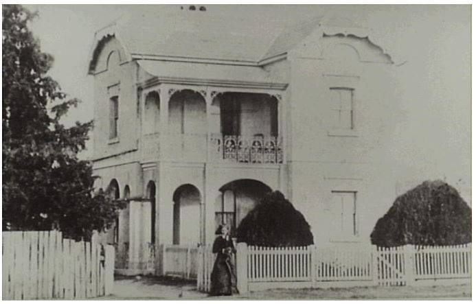
Camden Cottage Hospital – foundation and early days
By the 1890s, Camden's economy depended on dairy, but health concerns arose due to contaminated water and infectious diseases like scarlet fever. In response, the community pushed for a cottage hospital, leading to its opening in 1899. Local efforts highlighted the crucial link between health and the dairy industry's sustainability.
Share this:

Share this:
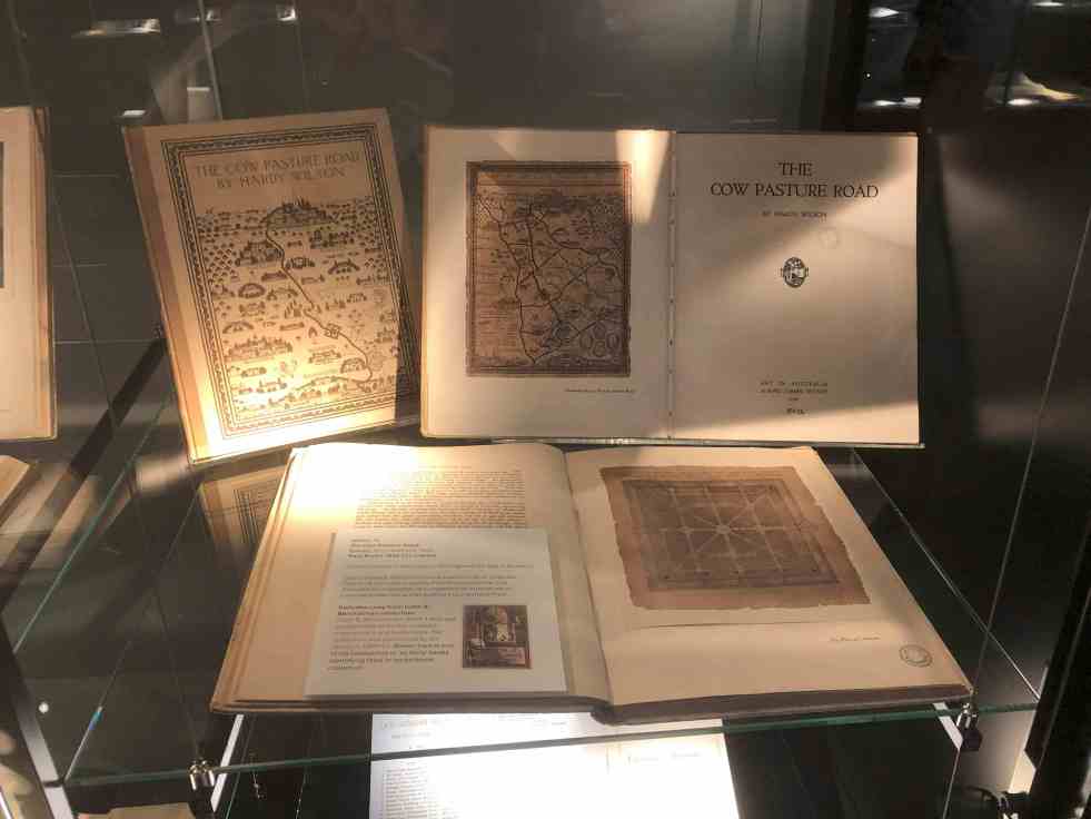
Unveiling Hardy Wilson’s architectural legacy and his influence on Camden’s aesthetics
William Hardy Wilson, a largely unrecognized architect and artist, authored The Cow Pasture Road in 1920, impacting Camden's cultural narrative. His work celebrates colonial architecture and aesthetics, leading to a recent exhibition at the University of Sydney Library, which explores his dual legacy as both a visionary artist and controversial figure in Australian history.
Share this:

Share this:
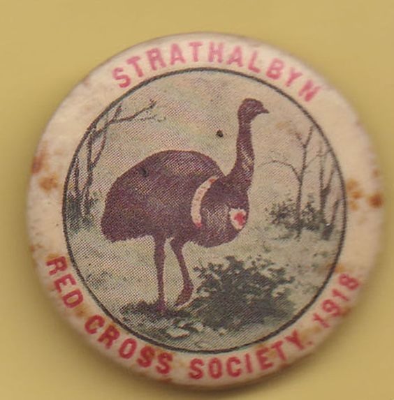
New South Wales Women and the Red Cross: A Noble Cause
During the First World War in Australia, the Red Cross organization saw enthusiastic support from New South Wales women, spurred on by Lady Helen Munro Ferguson and the state's elite. The movement mobilized thousands for war support, with both urban and rural branches contributing countless hours and funds to provide comfort and aid to soldiers.
Share this:

Share this:
Explore Narellan’s History: Heritage Walking Tour and Historic Sites
The Narellan Heritage Walking Tour, curated by local photographers Kylie and Peter Lyons, provides a fascinating exploration of the historical and architectural legacy of Narellan. This tour offers insights into the original villages predating Camden's establishment in 1840, featuring notable sites like The Old St Thomas Chapel and the Narellan Public School.
Share this:

Share this:
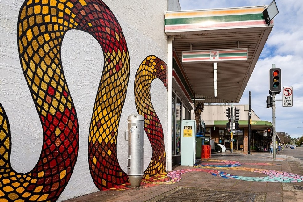
Public art at Campbelltown brightens up the Queen Street precinct
Public art is being used in the Campbelltown town centre to reinvigorate and revitalise the Queen Street precinct that has been subject to urban blight.
Share this:

Share this:
The Camden Story: the historiography of the history of the country town of Camden NSW
The history of telling the story of a small community has been interpreted in different ways at different times in the past by different historians. This area of study is called the historiography. I have recently published an article on the historiography of the small country town of Camden, NSW.
Share this:

Share this:

The Camden district, 1840-1973, a field of dreams
The Camden district was historically significant, serving as a social and economic center for over a century. It integrated farming, mining, and community life, shaped by Aboriginal heritage and European settlement. However, modern developments and infrastructural changes led to its decline, transitioning to a regional identity tied to Macarthur area governance and branding.

