
The Macarthur History Collective, a loose informal alliance, formed by local history organisations, aims to foster collaboration among groups to preserve and promote regional heritage. Initiated after a successful meeting on July 19, 2026, its focus is to share resources, tackle common challenges, and engage younger audiences, enhancing community history efforts across the Macarthur region
Category: Historical source


The Role of Lists in Local History Writing
The content explores the role of data lists in local history writing, highlighting how they serve as essential research tools for historians. While lists provide foundational facts, they lack narrative context and depth. The post argues for using data lists to enhance storytelling about communities and emphasizes the importance of combining facts with personal stories for a richer historical understanding.
Share this:

Share this:
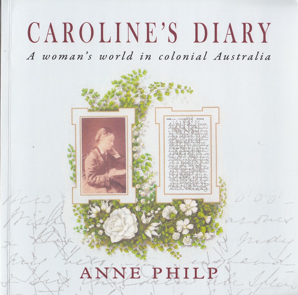
Exploring Caroline’s Diary: A Women’s Perspective on Colonial Australia
Anne Philp's "Caroline’s Diary" narrates the life of Caroline Husband, an Englishwoman who migrated to colonial Australia in the mid-19th century. Through her personal diaries, readers explore her adventures, social life, and experiences from England to New South Wales, providing insights into women's roles and societal dynamics during this period.
Share this:

Share this:
Discovering Australia’s Hidden Historical Sites
The local historical and cultural landscape in Australia is highly fragmented, lacking a central repository for information. Various apps, websites, and blogs exist but offer scattered data. Clio, a well-coordinated platform in the USA, exemplifies effective organization of local history, contrasting with Australia's disjointed efforts, which face funding challenges.
Share this:

Share this:

Exploring Community History: Benefits and Applications
Community history focuses on the stories and experiences of specific groups, emphasizing local and social history often overlooked in traditional research. It fosters empowerment, engages community members, preserves unique cultural heritage, and creates a deeper connection to place, ultimately enhancing social cohesion and supporting informed decision-making for future generations.
Share this:

Share this:

How History Shapes Our Present and Future
History enables us to comprehend the past and influences the future by revealing how past events shape current realities. It provides context, identifies patterns, and highlights cultural influences. Additionally, it inspires critical thinking, informs decision-making, and prompts social justice efforts, reinforcing that the future is shaped by choices made today.
Share this:

Share this:

Exploring Your Hometown: Hidden Gems Await
Exploring your hometown can reveal hidden wonders and local history often overlooked. Resources like libraries and historical societies offer insights into the past, while nature provides adventurous experiences. Engaging with local culture, festivals, and unique culinary offerings can enhance your appreciation of familiar surroundings. Stay curious and discover the extraordinary in the ordinary.
Share this:

Share this:

Exploring Historical Themes: Pictorial History Camden & District Presentation Summary
This presentation examined the role of the historian and researcher and presented the importance of history and the role of a historian. Dr Ian Willis discussed the significance of historical consciousness and collective memory, emphasising the role of a historian as a researcher, analyst, interpreter, and storyteller. The presentation also highlighted "Pictorial History Camden & District," a book by Kingsclear Books, and covered aspects such as structure, select bibliography, index of names, and district maps. Additionally, various related sources and themes, such as the Whiteman and Macarthur families, were explored. The presentation concluded with suggestions for experiencing the past through community festivals, local studies, and living libraries.
Share this:

Share this:

Sydney’s Royal Botanic Gardens
The Royal Botanic Gardens in Sydney, Australia, cover 29 hectares of gardens and 51 hectares of surrounding parkland. Established in 1816, it is the oldest colonial botanic garden in Australia, attracting 4 million visitors annually. With historical significance dating back to 1788, the Gardens reflect changing landscape styles and serve as a popular public space.
Share this:

Share this:
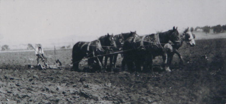
The Perkins family album of Cawdor
Photographs tell a story about the local area and represent a moment frozen in time. The Perkins family donated a family photograph album to the Camden Historical Society and it tells the story of the Cawdor area..

