
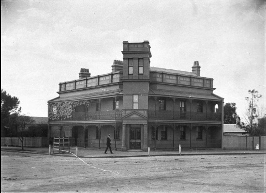
In central Camden is an empty bank building of understated significance at the intersection of John and Argyle Streets. This building was the premises of Westpac, formerly the Bank of New South Wales, and was the second banking chamber on that site. Constructed in the 1930s by a prominent firm of local builders and designed by one of Sydney’s top award-winning architects. It is a building of much architectural merit, and few know its history.
Category: Governor Macquarie


The Cowpastures Bicentennial, Governor Hunter and the Appin Massacre: the memory of the Cowpastures
I often wondered why the cultural material representative of the Cowpastures appeared to have been 'forgotten' by our community. The list of cultural items is quite an extensive include: roads and bridges, parks and reserves; historic sites, books, paintings, articles; conferences, seminars, and workshops; monuments, memorials and murals; community commemorations, celebrations and anniversaries.
Share this:

Share this:

Cowpastures’ memories in monuments, memorials and murals.
Many memorials and monuments across the Cowpastures landscape commemorate its history and sense of place, with a recent nostalgic turn focusing on the pioneers and European settlement. War memorials are a ubiquitous form of memorialization in the Macarthur region, and public art, historical sites, and cultural heritage also play significant roles. These commemorations can be controversial, especially considering Australia's dark history, and evoke different memories for different people. Additionally, the landscape of the Cowpastures is interpreted in various ways, including as a colonial frontier, government reserve, and English-style landscape. Various memorials, artworks, and historic sites dot the region, contributing to its identity and history.
Share this:

Share this:
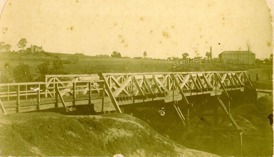
The Cowpastures bridge at the Nepean River crossing
Access across the Nepean River has been an issue since European settlement. The problem was solved by building a bridge with the first in 1826, the next in 1860 followed by 1900 and 1976.
Share this:

Share this:

Camden Heritage Conservation Area – an English-style village in the Cowpastures
The Macarthur private village of Camden was located in the English style countryside of the Cowpastures countryside with its gentry estates and villages. Founded in 1840 it was all part the British imperial imperative and the settler colonial project that came with it.
Share this:

Share this:
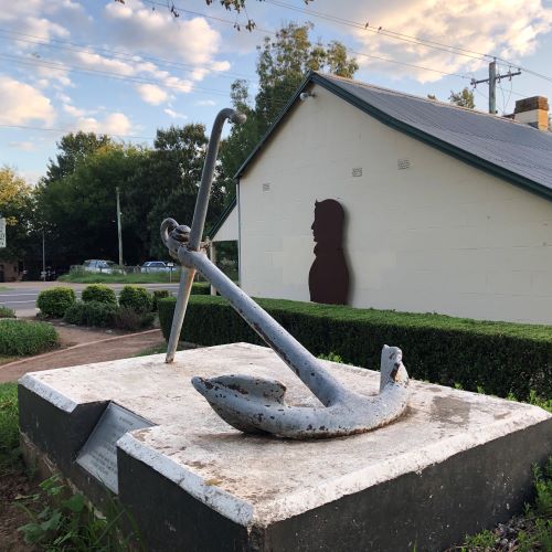
John Oxley’s anchor lost for 34 years
New evidence has emerged challenging previous conclusions about the John Oxley Memorial anchor in Camden. The anchor, a memorial from the British naval authorities, was lost for 34 years before being relocated for public access. John Oxley, an important colonial figure, has multiple commemorations in New South Wales related to his historical significance.
Share this:

Share this:
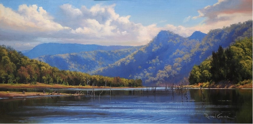
The Burragorang Valley, a lost Gothic fantasy
The Burragorang Valley is a lost Gothic fantasy where many people were attracted to the grandeur and beauty of the valley's landscape. Much of the valley's mystery has been lost under Lake Burragorang.
Share this:

Share this:
What is Camden’s heritage, does it really matter and what does it mean?
What is Camden’s heritage, does it really matter and what does in mean?
Share this:

Share this:
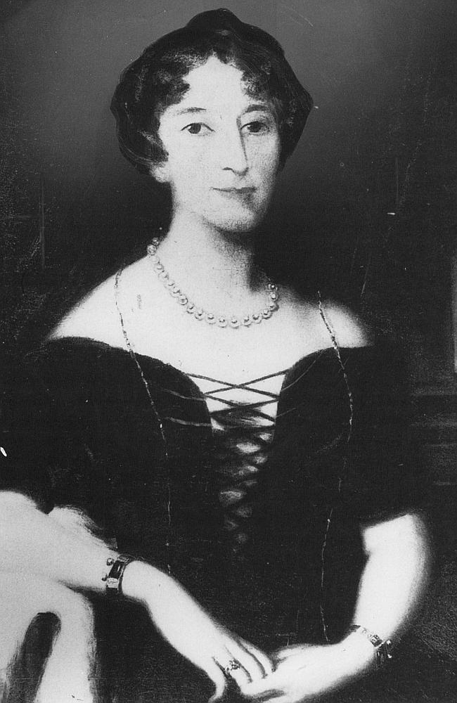
Celebrity author at Camden Museum
Author Michelle Scott Tucker recently spoke at the Camden Museum about her new book Elizabeth Macarthur A Life at the Edge of the World
Share this:

Share this:
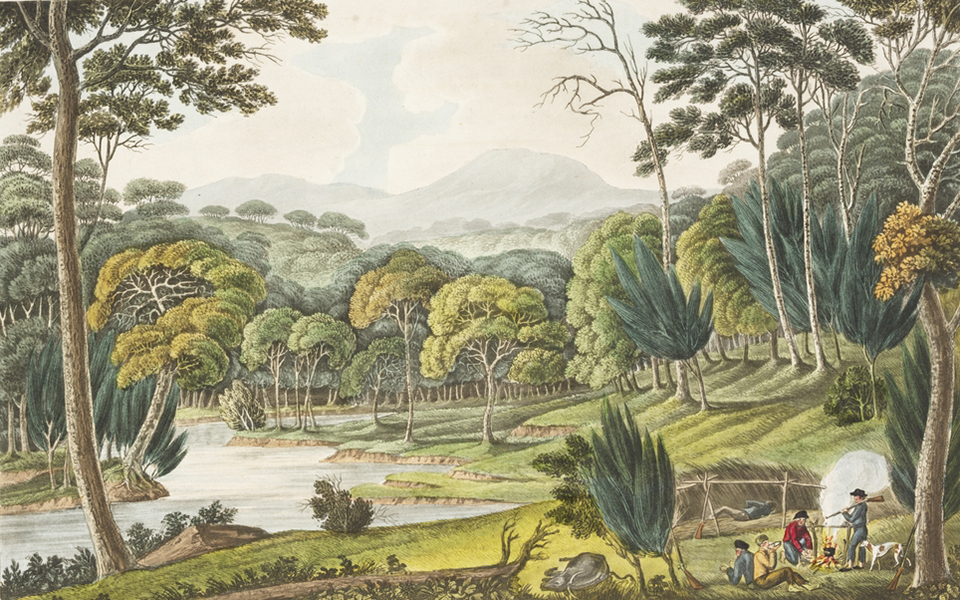
Exploring the Cowpastures region: the early history of a settler society
The Cowpastures region, named by Governor Hunter in 1795, reflects a culturally constructed landscape stemming from the 18th century. Originating with wild cattle from the First Fleet, it evolved into a significant colonial area intersecting Indigenous history. The region's identity waned by the late 19th century but is celebrated today for its historical legacy.

