
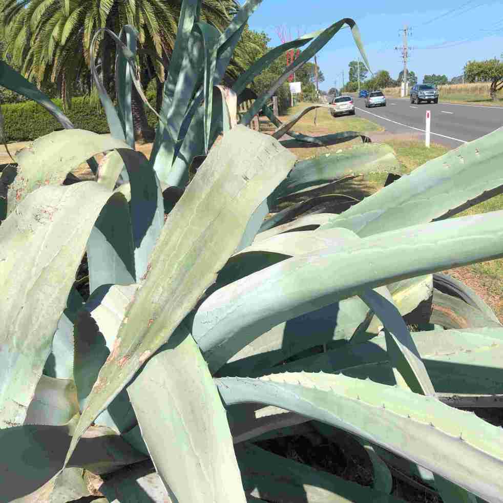
The agave plants near Cawdor Road, Camden, have become part of local folklore, with stories spanning murder, historical colonial gardens, and Indigenous conflict. These slow-growing succulents have sparked controversy and conjecture, with their true history and significance remaining a mystery. Despite attempts to uncover the truth, the agave's legend endures across generations.
Category: Cawdor


The Camden district, 1840-1973, a field of dreams
The Camden district was historically significant, serving as a social and economic center for over a century. It integrated farming, mining, and community life, shaped by Aboriginal heritage and European settlement. However, modern developments and infrastructural changes led to its decline, transitioning to a regional identity tied to Macarthur area governance and branding.
Share this:

Share this:
The Cowpastures’ English-styled-gentry and their private villages
A certain type of self-styled-English gentry created a landscape in their own vision in the Cowpastures.
Share this:

Share this:
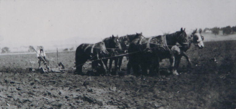
The Roy Dowle collection and old photographs
Old photographs are a glimpse into the past and capture many memories of another time. The Roy Dowle Glass Plate collection at The Oaks Historical Society is a source of many local images.
Share this:

Share this:
Exploring the Cowpastures region: the early history of a settler society
The Cowpastures region, named by Governor Hunter in 1795, reflects a culturally constructed landscape stemming from the 18th century. Originating with wild cattle from the First Fleet, it evolved into a significant colonial area intersecting Indigenous history. The region's identity waned by the late 19th century but is celebrated today for its historical legacy.
Share this:

Share this:
Governor Macquarie tours Cow Pastures and Illawarra 1822
Governor Macquarie (SLNSW) Lachlan Macquarie on tour Governor Lachlan Macquarie, accompanied by Mrs Macquarie, made his final visit to the Cowpastures and the Campbelltown area in January 1822. He inspected the area around Cawdor, Camden Park, Brownlow Hill, and Macquarie Grove. Macquarie also descended into the Illawarra and travelled through the area around Tom Thumb… Continue reading Governor Macquarie tours Cow Pastures and Illawarra 1822
Share this:

Share this:
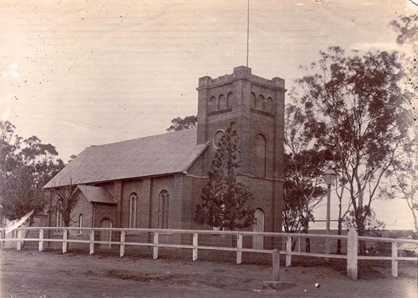
The Perkins family album of Cawdor
Photographs tell a story about the local area and represent a moment frozen in time. The Perkins family donated a family photograph album to the Camden Historical Society and it tells the story of the Cawdor area..

