
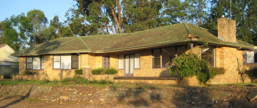
The Hennings House, a mid-century modern ranch-style residence built in 1960, was a prominent part of Elderslie's architectural landscape until its demolition in 2011 for a preschool. Known for its distinctive features and design, the house highlighted the cultural significance of post-World War II domestic architecture in Camden.
Category: Elderslie

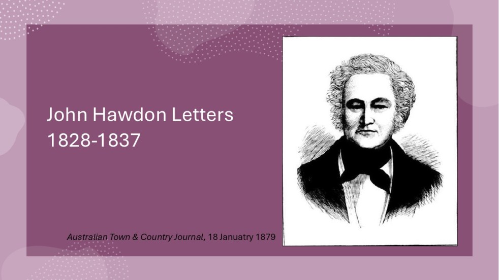
Insights from the Hawdon Letters: Colonial Life in NSW, Part 2, 1831-1833
John Hawdon's letters from New South Wales (1831-1833) reveal colonial life, highlighting farming challenges, isolation from England, and the high costs of communication. These letters provide insights into market conditions, crop successes, and family updates, showcasing the Hawdons' experiences and adaptations in a new land, while retaining original spelling and structure.
Share this:

Share this:
Insights from the Hawdon Letters: Colonial Life in NSW, Part 1, 1828-1830
John Hawdon's letters (1828-1830) provide an intimate view of colonial life in New South Wales. Addressed to family in England, they detail challenges of farming, personal hardships, and isolation. The cross-written letters, located at the State Library of NSW, are difficult to decipher but are significant historical records of early colonial settlement in the Cowpastures.
Share this:

Share this:
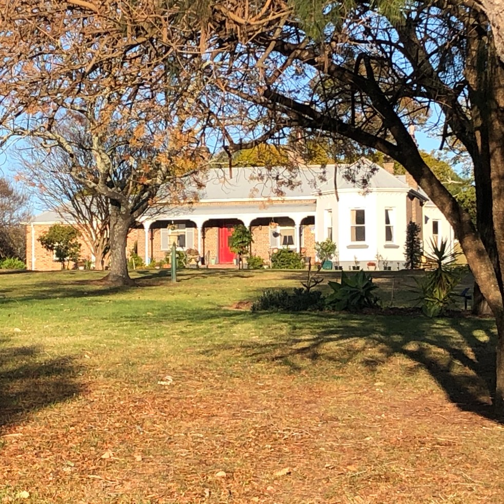
Exploring Hilsyde: A Look at Elderslie’s Historic Home
Hilsyde, originally known as Pammenter, is a Victorian single-storey brick residence built in 1888 by WC Furner in Elderslie. The property features a galvanised iron roof, bay windows, and retains good integrity. It served as Hilsyde Lodge from 1978 to 2003, catering to Christian women workers, and is heritage-listed.
Share this:

Share this:
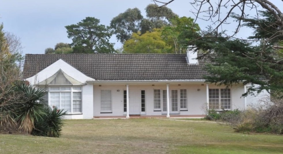
A Journey Through Camden’s Mid-Century Housing Architecture
Camden's mid-century housing, developed between the 1940s and 1970s, reflects a worldwide modernism movement. Characterized by simple lines and open spaces, these homes arose amid urban growth linked to the new jobs created by the Burragorang coalfields. Unfortunately, many of these historic structures are disappearing, necessitating greater recognition and appreciation of their significance.
Share this:

Share this:
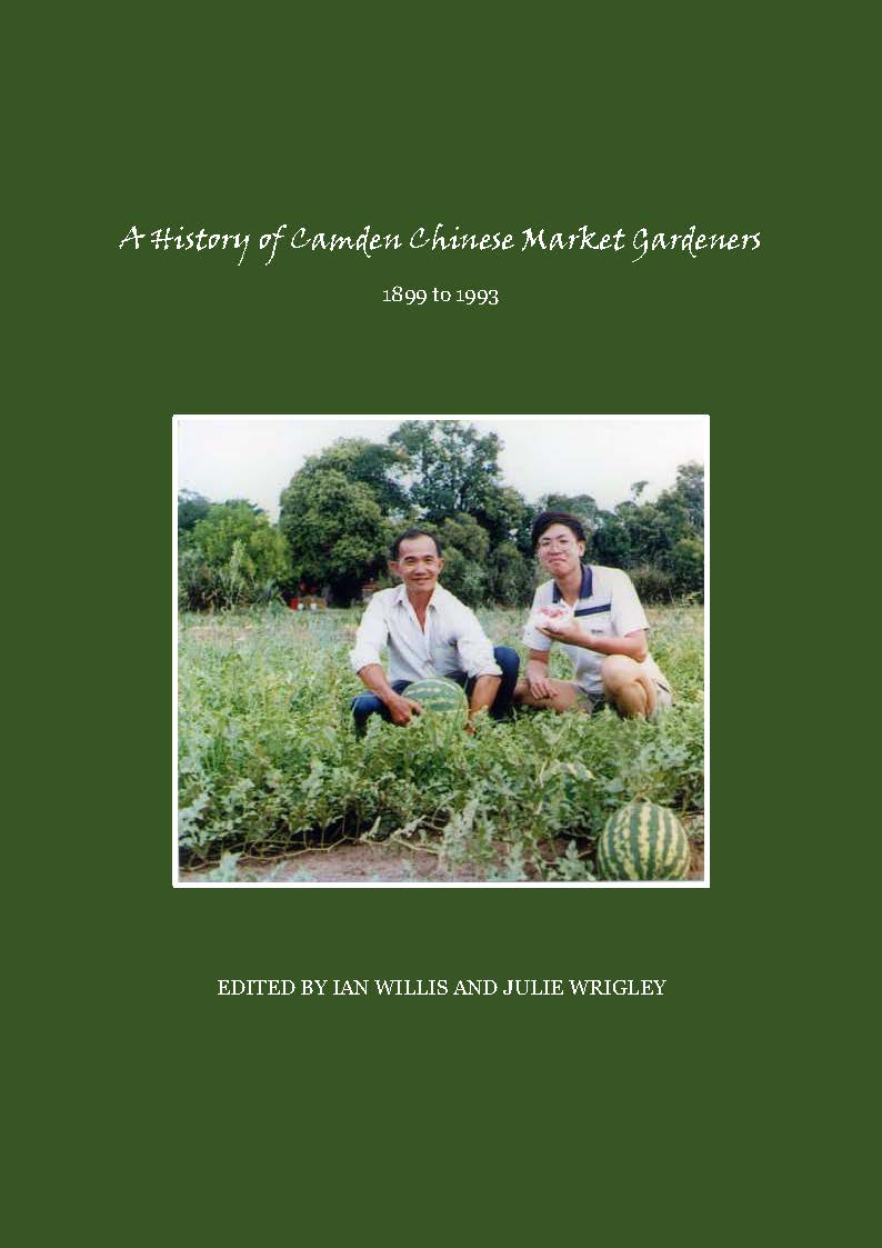
History of Camden Chinese Market Gardeners: Resilience, Innovation, and Struggles
The presentation at Camden Rotary Club details the significant contributions and challenges faced by Chinese market gardeners in Camden. It sheds light on their resilience, innovation, discrimination, and impact on the local economy. The book "A History of Camden Chinese Market Gardeners 1899-1993" emphasizes their agency, making an important contribution to local history and the literature of the Chinese diaspora in Australia.
Share this:

Share this:
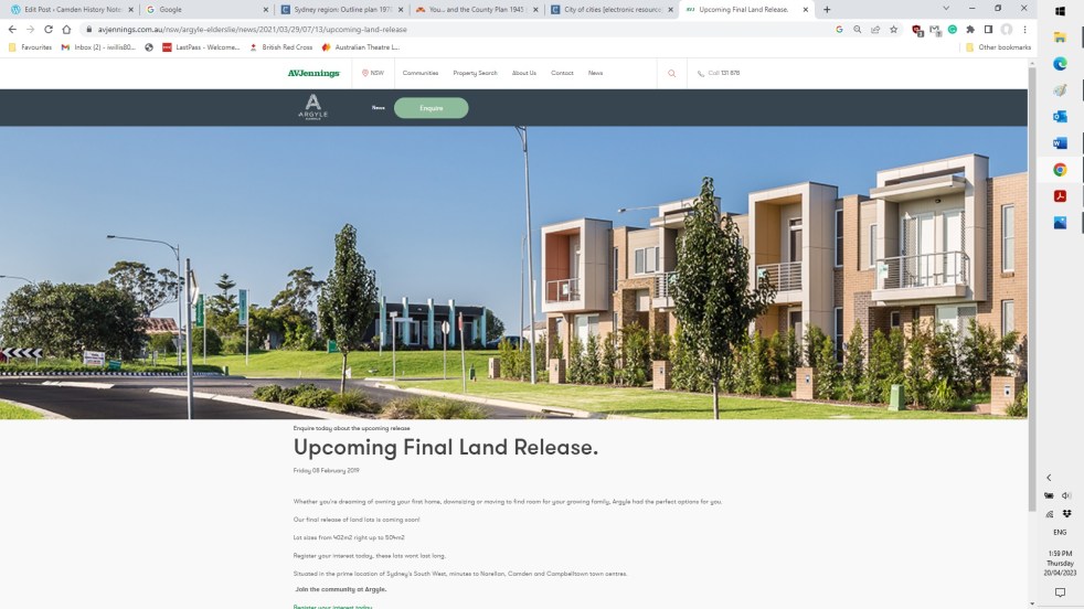
Elderslie land releases 2000-2023, the background and fancy estate names
The Elderslie area has been identified in Sydney’s strategic growth plans for land releases on the metropolitan rural-urban fringe. It is a valuable exercise to see how and when Elderslie was identified as part of Sydney’s planning framework.
Share this:

Share this:

St Mark’s Church Elderslie, the little church on the hill
St Mark's Church Elderslie tells the story of a small farming community that has disappeared through the mists of time. The history of St Mark’s church is the history of Elderslie, and the church was a special place of community celebrations and commemorations along with family celebrations, traditions, and events. The church has been a gathering place, a sacred site.
Share this:

Share this:
The Cowpastures’ English-styled-gentry and their private villages
A certain type of self-styled-English gentry created a landscape in their own vision in the Cowpastures.
Share this:

Share this:
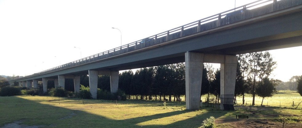
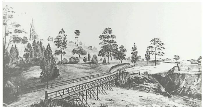
Macarthur Bridge
The Macarthur Bridge across the Nepean River at Camden NSW is an important engineering heritage item.

