
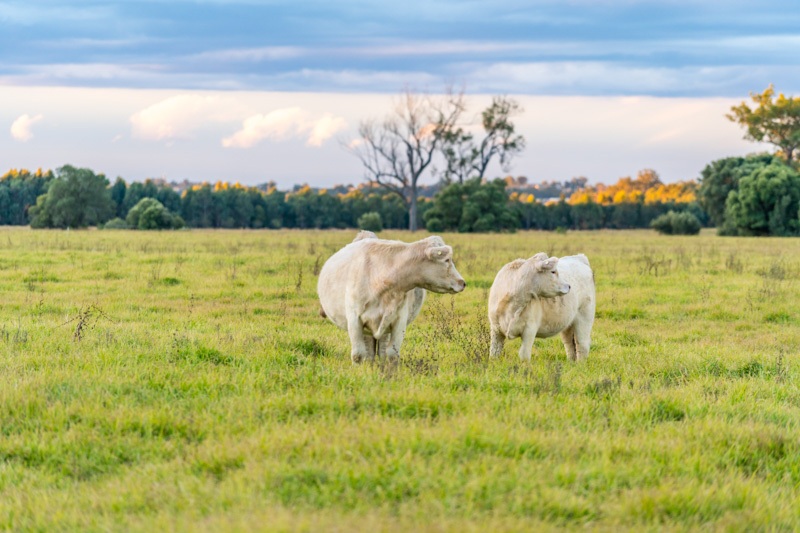
In 1985, the NSW Government released a landscape report on Camden Park Agricultural Research Station, highlighting its cultural significance amid urban encroachment. It described a complex cultural landscape, emphasising conservation needs. The site, now the Elizabeth Macarthur Agricultural Institute, is vital to agriculture and biosecurity, preserving the region's historical and cultural integrity.
Category: Urban growth

HERITAGE STUDY CAMDEN NEW SOUTH WALES Documentary Evidence addressing criteria for statutory heritage listing
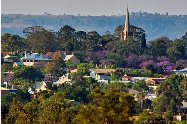
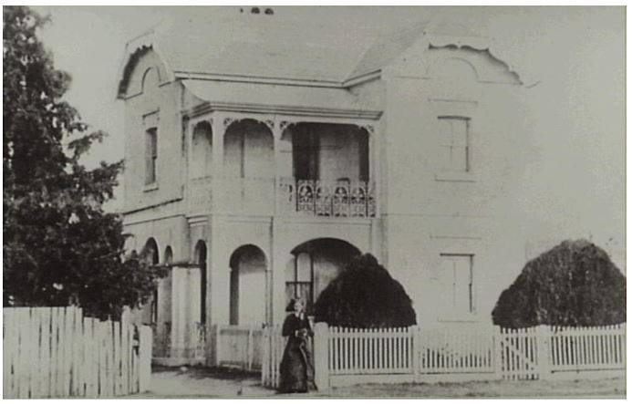
The Camden Township Heritage Study highlights Camden's unique historical and cultural significance, being an unofficial town established in 1836. Its intact colonial architecture, exceptional planning, and connection to influential figures like John Macarthur contribute to its character. The study emphasizes the need to protect Camden's heritage from inappropriate development for economic and cultural sustainability. In 2023 the Camden Residents Action Group prepared a document to assist is application to address the criteria for heritage listing in New South Wales, authored by Glenda Davis.
Share this:

Share this:
Is Camden a Village? Unpacking History and Marketing
The 'Camden Village' marketing strategy leverages nostalgia and historical authenticity to promote its charm as a getaway near Sydney. It celebrates Camden's heritage, exploring themes of community and continuity, while questioning the true nature of its village identity. This strategy taps into sentimental longings for simpler times, appealing emotionally to potential visitors.
Share this:

Share this:
Discover Camden’s Agricultural Heritage and Legacy
Camden, New South Wales, is recognized as the birthplace of Australian agriculture, boasting significant historical and contemporary agricultural sites. Despite rapid growth and new residents' limited awareness of its agricultural legacy, Camden remains a vital hub for agricultural research and education, blending rural lifestyle with community connections and open spaces.
Share this:

Share this:
Exploring the Complexities of Western Sydney’s Identity
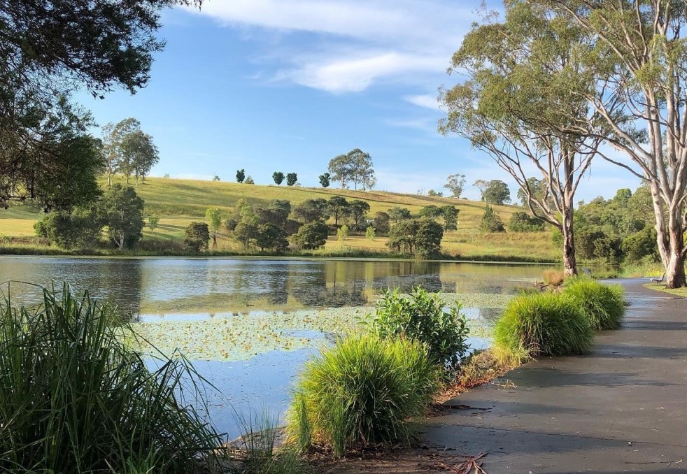
Western Sydney is a complex, diverse region with numerous communities, recognized by various government levels for planning and investment. Historically significant, it faces socio-economic disparities highlighted by the "Latte Line" and "Red Rooster Line." Recent developments, including the Western Sydney International airport, aim to enhance its identity and economic growth, fostering a sense of place.
Share this:

Share this:
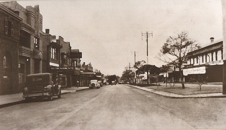
Exploring Lost Camden, The Legacy of The Hennings House
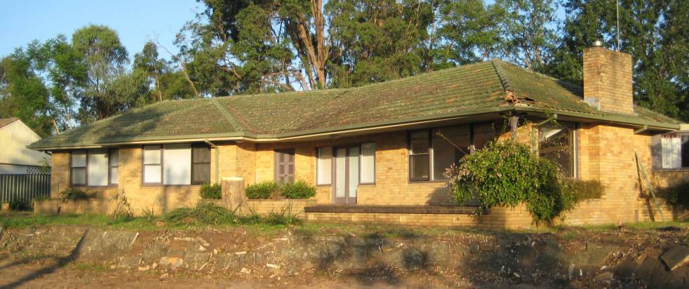
The Hennings House, a mid-century modern ranch-style residence built in 1960, was a prominent part of Elderslie's architectural landscape until its demolition in 2011 for a preschool. Known for its distinctive features and design, the house highlighted the cultural significance of post-World War II domestic architecture in Camden.
Share this:

Share this:

Local Voices Matter: NSW Community Cabinet in Camden
The NSW Cabinet held its first community forum in Camden, allowing locals to voice concerns and engage with representatives. Premier Minns discussed urban growth and infrastructure funding, emphasizing equity across Sydney. Despite some criticism regarding political motivations, the event fostered community involvement, enhancing democratic engagement and showcasing local issues effectively.
Share this:

Share this:
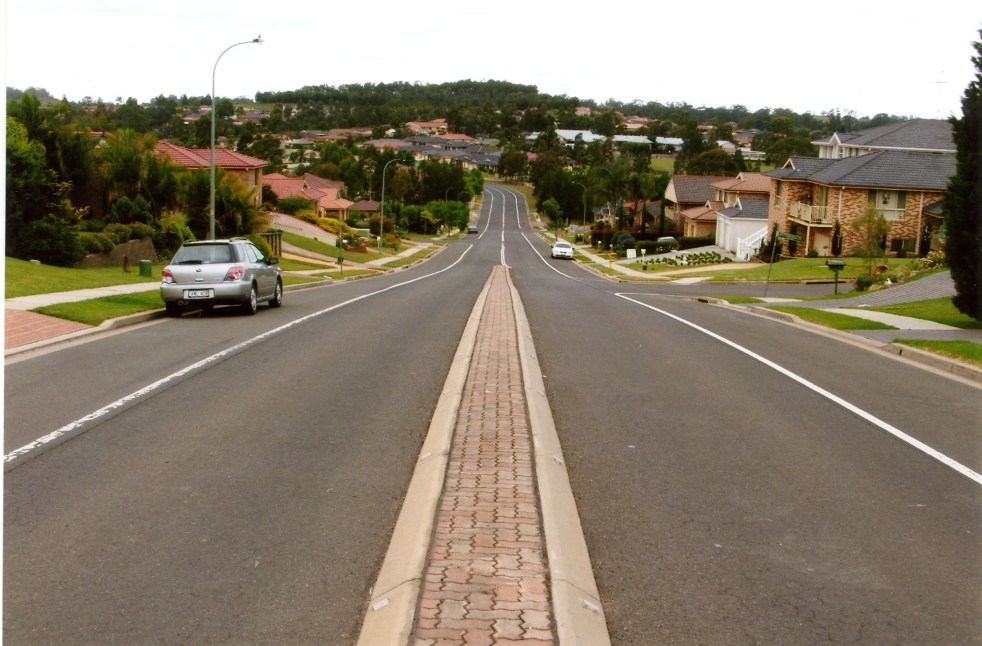
Navigating Australia’s Housing Crisis: Insights from Sydney’s Urban Fringe
The complexities of addressing Australia's housing challenges, suggests an article from ABC News, on Sydney's urban fringes are not as simple as they might seem. While author Ian Willis explores how the growing population has created demand for housing, the reality often falls short of expectations. Many new residents, he writes, are drawn by promises of suburbia, face disillusionment due to inadequate infrastructure, high density, and unresolved issues like traffic congestion and housing quality. Willis argues that the ongoing crises reflect a disconnect between development aspirations and lived experiences, suggesting the need for improved planning and understanding of community needs.
Share this:

Share this:
Camden’s First Hospital: A Historical Insight
Camden historian Dr. Ian Willis will present a paper on the origins of Camden Cottage Hospital at the 2025 Australian Historical Association Annual Conference. His paper, focusing on the hospital's role in rural health from 1899-1902, highlights community resilience and offers insights into local history and heritage in New South Wales.
Share this:

Share this:
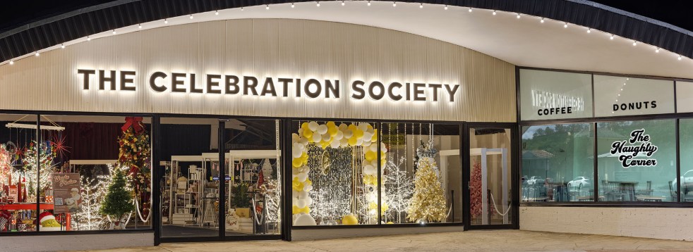
The Celebration Society: Revitalizing Picton’s Retail Scene Through Adaptive Re-use
The Celebration Society opened in 2024 in the former Corbett hardware store, revitalizing Picton's retail scene. Owners Deborah and Michael Quinn, along with business partners, preserved the building’s historic integrity. The venue includes a café and space for events, enhancing community engagement and contributing to the area's renewal.

