

The Camden Museum's dairy corner display chronicles the evolution of dairying in the Camden area from the 1890s to the 1970s, showcasing artifacts from smallholder and industrial farms, including Camden Vale. Once a vital economic sector, local dairy farming has greatly diminished, with only a few farms remaining. The collection highlights tools and equipment like butter churns and milk bottles, illustrating the historical significance of dairying in the region's economy and culture.
Category: Living History

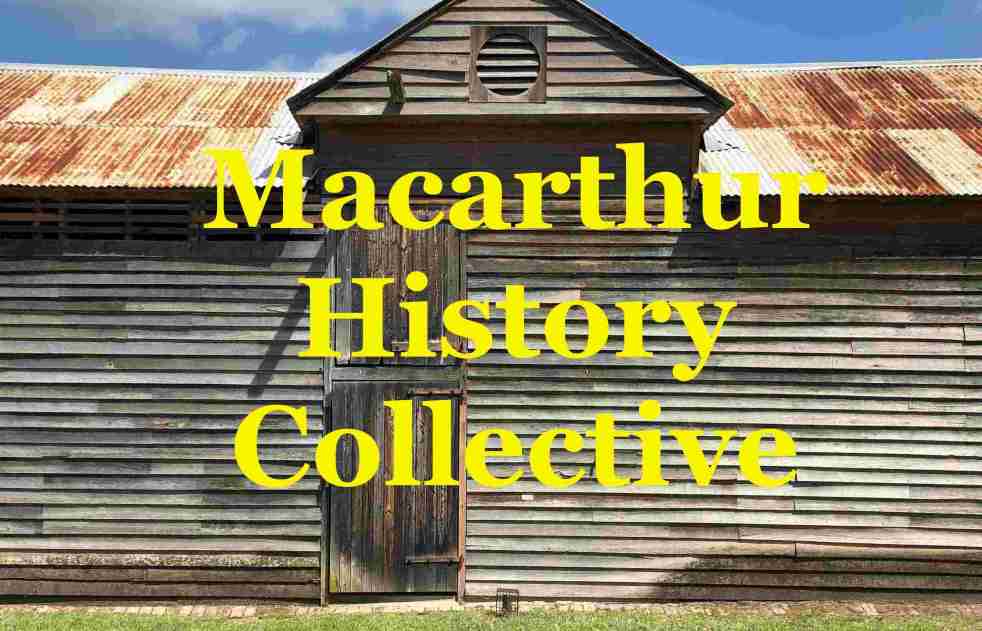
Strengthening Heritage Through Collaboration: Macarthur’s New Collective
The Macarthur History Collective, a loose informal alliance, formed by local history organisations, aims to foster collaboration among groups to preserve and promote regional heritage. Initiated after a successful meeting on July 19, 2026, its focus is to share resources, tackle common challenges, and engage younger audiences, enhancing community history efforts across the Macarthur region
Share this:

Share this:
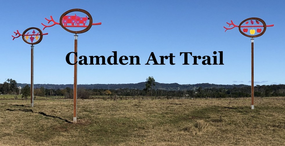
Explore the Camden Public Art Trail: A Scenic Journey
The Camden Public Art Trail, officially opened in June 2024, connects the Nepean River to Camden Town Farm and features stunning artwork installations across a 4.2-kilometer walkway. Funded by the NSW Government, the trail celebrates local heritage and ecology while providing an accessible outdoor experience for visitors, though dogs are not permitted.
Share this:

Share this:
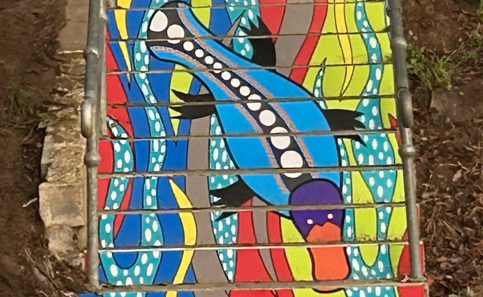
Exploring ‘By the River’: A Public Art Installation in Camden
Danielle Mate's art installation, "By the River," adorning the stairs between Chellaston Reserve and Little Sandy footbridge, features a platypus motif that reflects local Indigenous heritage. Commissioned by Camden Council and developed with community input, it enhances the area while celebrating its rich cultural history and ecology.
Share this:

Share this:
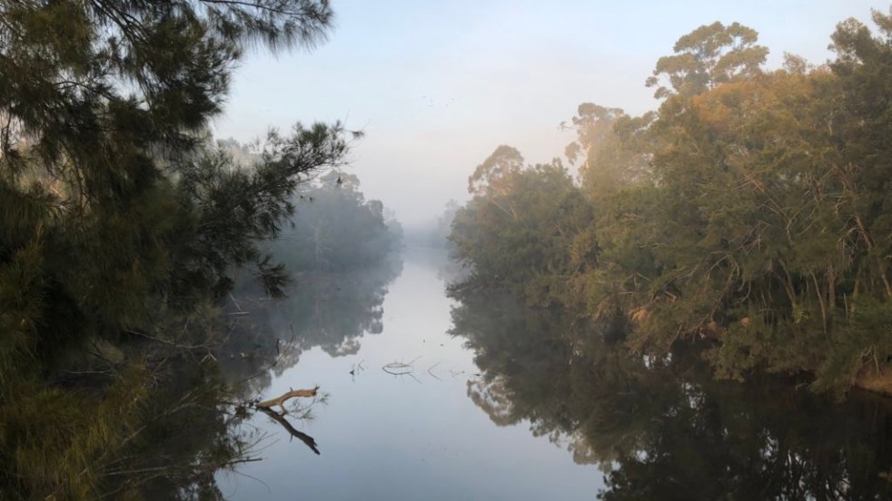
Exploring Little Sandy: Camden’s Hidden Gem
Little Sandy, a cherished location on the Nepean River in Camden, is celebrated for its rich community history and the memories it holds for locals. Enhanced by the Camden Weir, it features a modern footbridge and Aboriginal-inspired artwork, symbolizing its cultural significance as a site of gatherings, swimming, and personal milestones.
Share this:

Share this:

CIFA: A Legacy of Cultural Exchange in Camden
The Camden International Friendship Association (CIFA), established in 1993, facilitated cultural exchanges between Camden, Australia, and Shonan, Japan, transforming many students' lives. Although exchanges thrived for years, waning interest led to CIFA's decline by 2024. Despite this, some artworks from the exchanges remain on display at the Alan Baker Art Gallery.
Share this:

Share this:

Celebrating Diversity at Camden’s Cultural Concert and Dinner
On March 27, 2026, Camden Civic Centre hosted a Cultural Concert and Dinner, attracting over 200 attendees. The event, part of Multicultural March, showcased diverse performances, promoting inclusion and belonging within the community. Mayor Theresa Fedeli celebrated Camden’s cultural richness, emphasizing the importance of unity and connection among different backgrounds.
Share this:

Share this:
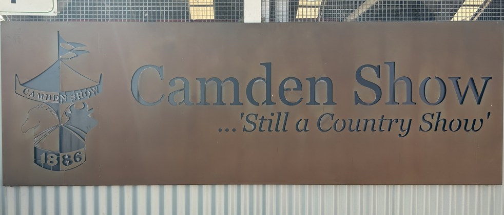
Camden Show 2026: Family Fun and Agricultural Excellence
The Camden Show, established in 1886, is an annual community festival celebrating agriculture, local talent, and heritage in the Macarthur region. Attracting over 48,000 visitors, it features livestock exhibitions, competitions, and entertainment. The event fosters community spirit, showcasing historical traditions and engaging volunteers dedicated to promoting agriculture and youth involvement.
Share this:

Share this:
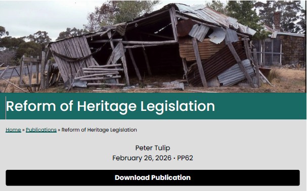
Balancing Heritage and Development in Australia
The Centre for Independent Studies argues that NSW heritage laws exacerbate the housing affordability crisis by preserving unremarkable buildings, thus restricting development. It critiques a narrow economic view of heritage that neglects community values, highlighting that a broader understanding of heritage's social and economic benefits is essential for sustainable urban planning.
Share this:

Share this:
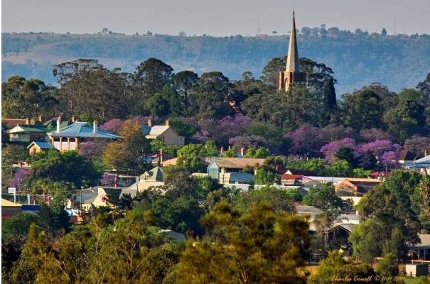
HERITAGE STUDY CAMDEN NEW SOUTH WALES Documentary Evidence addressing criteria for statutory heritage listing
The Camden Township Heritage Study highlights Camden's unique historical and cultural significance, being an unofficial town established in 1836. Its intact colonial architecture, exceptional planning, and connection to influential figures like John Macarthur contribute to its character. The study emphasizes the need to protect Camden's heritage from inappropriate development for economic and cultural sustainability. In 2023 the Camden Residents Action Group prepared a document to assist is application to address the criteria for heritage listing in New South Wales, authored by Glenda Davis.

