
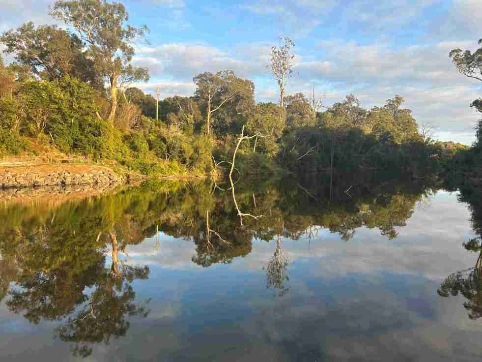
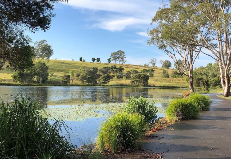
Camden, New South Wales, is recognized as the birthplace of Australian agriculture, boasting significant historical and contemporary agricultural sites. Despite rapid growth and new residents' limited awareness of its agricultural legacy, Camden remains a vital hub for agricultural research and education, blending rural lifestyle with community connections and open spaces.
Category: urban sprawl

Exploring the Complexities of Western Sydney’s Identity
Western Sydney is a complex, diverse region with numerous communities, recognized by various government levels for planning and investment. Historically significant, it faces socio-economic disparities highlighted by the "Latte Line" and "Red Rooster Line." Recent developments, including the Western Sydney International airport, aim to enhance its identity and economic growth, fostering a sense of place.
Share this:

Share this:

Local Voices Matter: NSW Community Cabinet in Camden
The NSW Cabinet held its first community forum in Camden, allowing locals to voice concerns and engage with representatives. Premier Minns discussed urban growth and infrastructure funding, emphasizing equity across Sydney. Despite some criticism regarding political motivations, the event fostered community involvement, enhancing democratic engagement and showcasing local issues effectively.
Share this:

Share this:
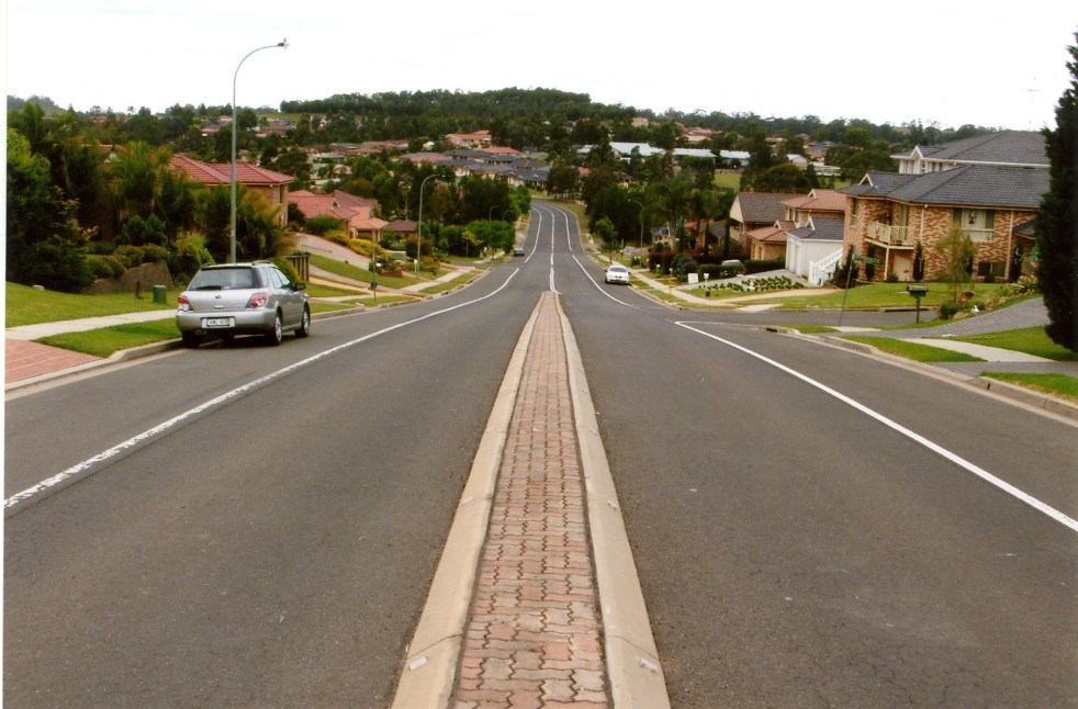
Navigating Australia’s Housing Crisis: Insights from Sydney’s Urban Fringe
The complexities of addressing Australia's housing challenges, suggests an article from ABC News, on Sydney's urban fringes are not as simple as they might seem. While author Ian Willis explores how the growing population has created demand for housing, the reality often falls short of expectations. Many new residents, he writes, are drawn by promises of suburbia, face disillusionment due to inadequate infrastructure, high density, and unresolved issues like traffic congestion and housing quality. Willis argues that the ongoing crises reflect a disconnect between development aspirations and lived experiences, suggesting the need for improved planning and understanding of community needs.
Share this:

Share this:
Understanding the Camden Story: History, Community, and Identity
The Camden story encapsulates the rich tapestry of tales and histories that define the Camden community, including dreamtime legends and settler accounts. It offers insight into the community's values, identity, and resilience, serving as both a historical narrative and a tool for local businesses, fostering deeper connections among residents.
Share this:

Share this:
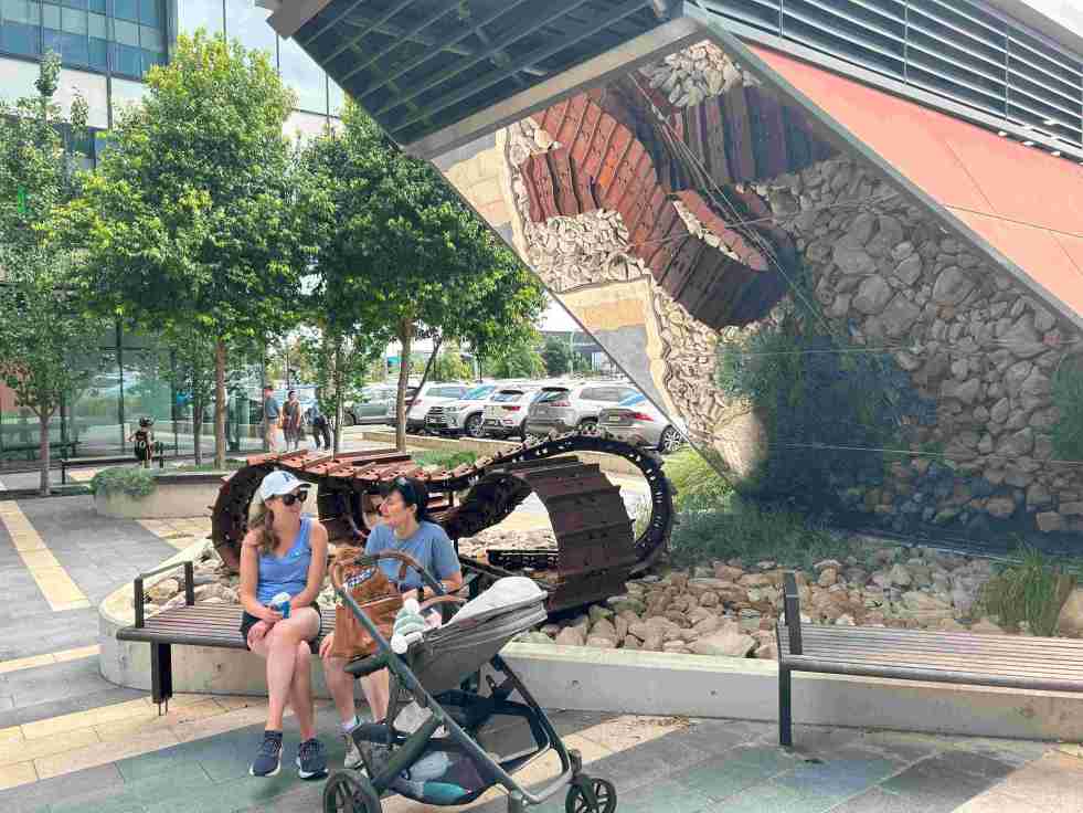
Exploring the ‘Infinity Tracks’ Art Installation in Oran Park
The 'Infinity Tracks' art installation in Oran Park honors the region's heavy haulage industry, highlighting the historical impact of the transport industry and Oran Park Town urban development. Commissioned in 2020 by Greenfields Development Co and TRN House, it enhances the forecourt's aesthetic while reflecting the area's economic growth and employment contributions from the haulage sector and urban development.
Share this:

Share this:

Airds Shopping Mall demolition, the unmet expectations of mid-century modernism
The Airds shopping mall's future encapsulates the decline of mid-century modernism in the midst of urban neglect. Once a symbol of optimism, the area's decay reflects broader global trends in retail. From failed Radburn principles to public housing challenges, the mall's history mirrors the clash of modernism and neoliberalism in Campbelltown. Despite the despair former residents report that they recall happy memories and stories of hope growing up in the area.
Share this:

Share this:
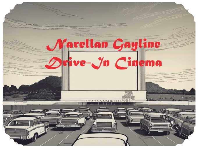
Narellan ‘Gayline’ Drive-In Movie Theatre, a touch of modernism
The Narellan Gayline Drive-In Movie Theatre in Camden was a defining feature of the local 1960s-1980s culture, offering a relaxed, family-friendly movie experience. The drive-in's success peaked in the early 1970s but eventually closed in 1990 due to changing lifestyles and real estate development. It provided a memorable experience for many local residents, offering a nostalgic look back at a bygone era.
Share this:

Share this:

Yearning, Longing and The Remaking of Camden’s Identity: the myths and reality of ‘a country town idyll’.
This article discusses the concept of a "country town idyll" in Camden, an idealised version of a country town from an imagined past that uses history to construct imagery based on Camden's heritage buildings and other material fabrics. The paper delves into the origins of the idyll, examines its development, and investigates its validity in its contemporary context. It shows how its supporters have used history as a community asset to remake Camden's identity and explore how the 'country town idyll' has been used variously as a political weapon, a marketing tool, and a tourist promotion.
Share this:

Share this:
Camden, the making and re-making of familiar places
This presentation at the WEA-RAHS Seminar Series on 28 October 2009 at History House, Sydney, explores the conflict between urban expansion and the desire to preserve Camden's identity as a country town. It delves into the tension between nostalgic ideals and the reality of modern development in the area.

