
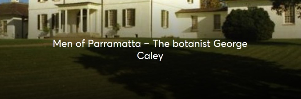
George Caley (1770–1829) explored the Cowpastures in New South Wales and reported in 1804 on the thriving wild cattle there, suggesting the name "Vaccary Forest." Caley's knowledge of "vaccaries," common in medieval England, influenced his preference for this term over the existing one. He extensively documented his findings during his decade-long exploration in Australia.
Category: Settler colonialism

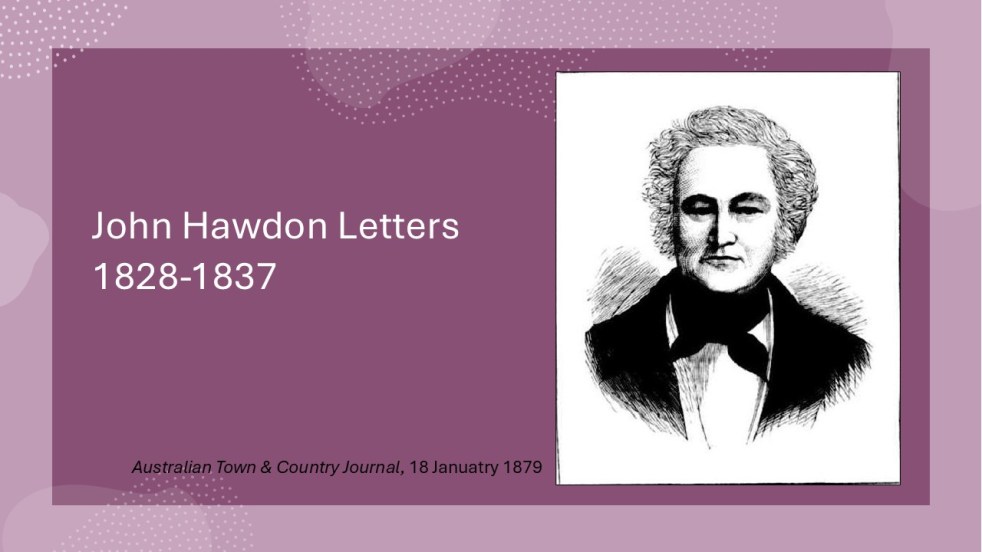
Insights from the Hawdon Letters: Colonial Life in NSW, Part 3, 1833-1837
The letters of John Hawdon and others from 1828 to 1837, preserved in the State Library of NSW, provide insights into colonial life in New South Wales. They highlight themes of isolation, communication challenges, economic struggles, and attitudes toward gender and Indigenous populations, alongside Hawdon's farming experiences and family connections.
Share this:

Share this:
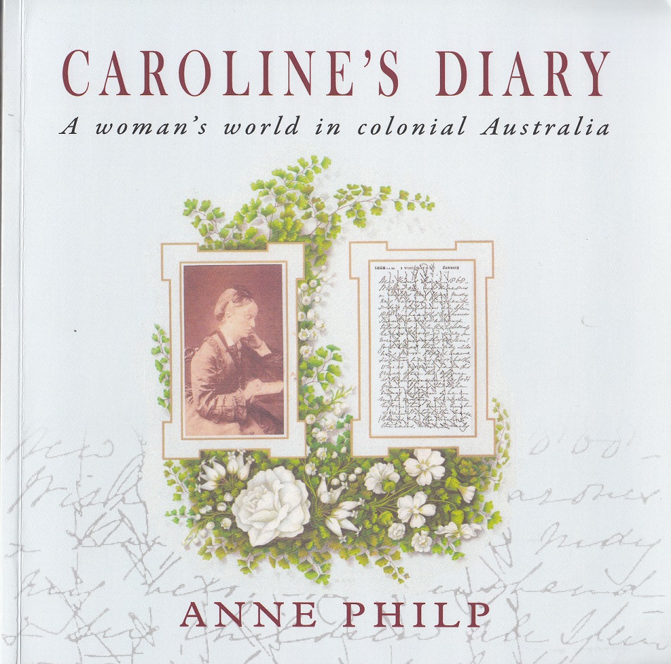
Exploring Caroline’s Diary: A Women’s Perspective on Colonial Australia
Anne Philp's "Caroline’s Diary" narrates the life of Caroline Husband, an Englishwoman who migrated to colonial Australia in the mid-19th century. Through her personal diaries, readers explore her adventures, social life, and experiences from England to New South Wales, providing insights into women's roles and societal dynamics during this period.
Share this:

Share this:
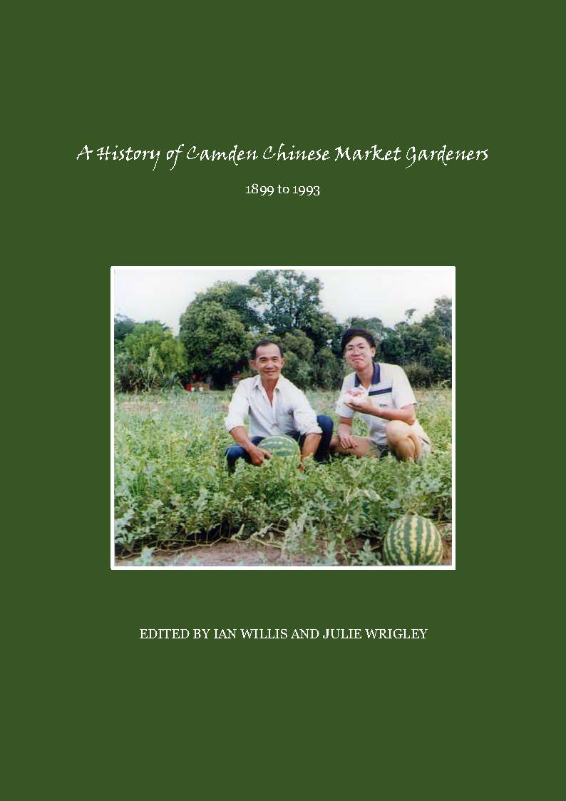
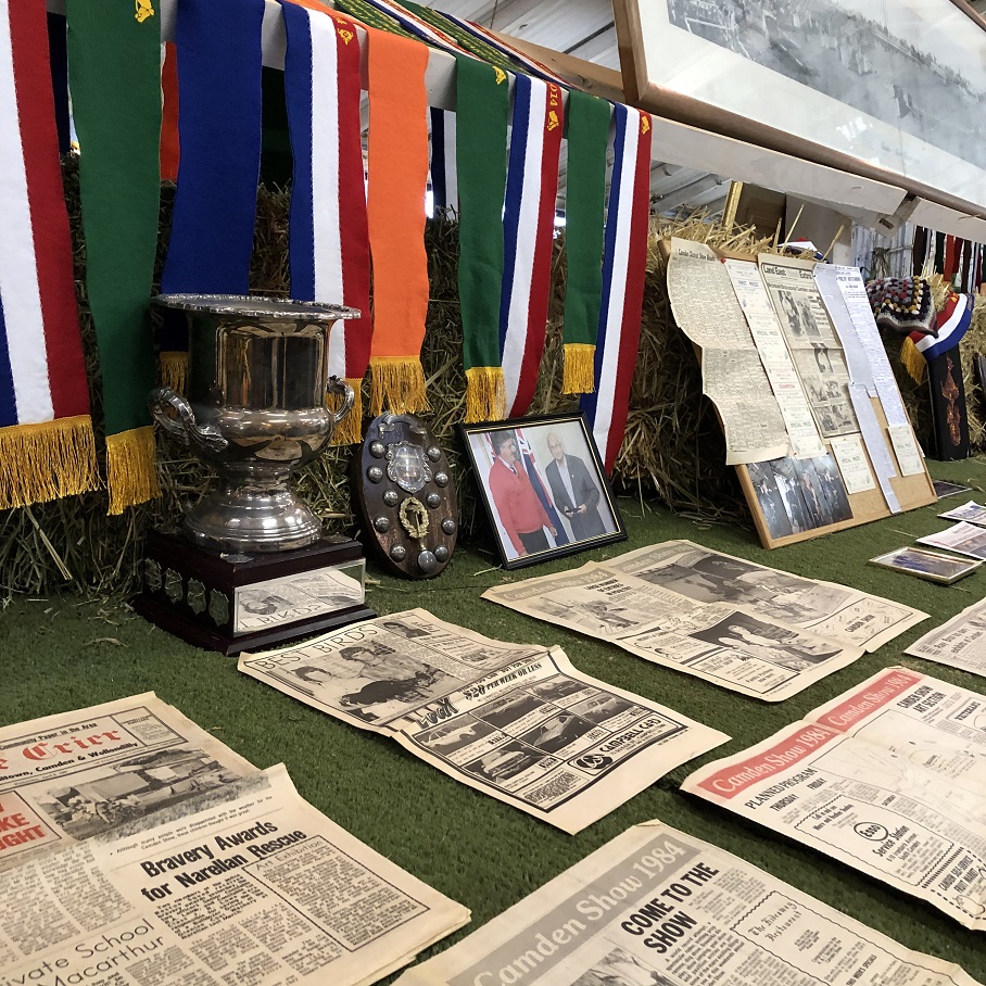
Community Recognition Morning Tea for Camden Recipients at NSW Parliament
The NSW Parliament allows Members to submit Community Recognition Statements acknowledging community achievements, charity work, and other contributions since 2017. On May 28, 2025, Mrs. Sally Quinnell MP hosted a morning tea to honor Camden recipients, including Dr. Ian Willis, joint-author of 'A History of Camden Chinese Market Gardeners 1899-1993' published by the Camden Historical Society.
Share this:

Share this:
Explore History with Friends of Belgenny Farm Events
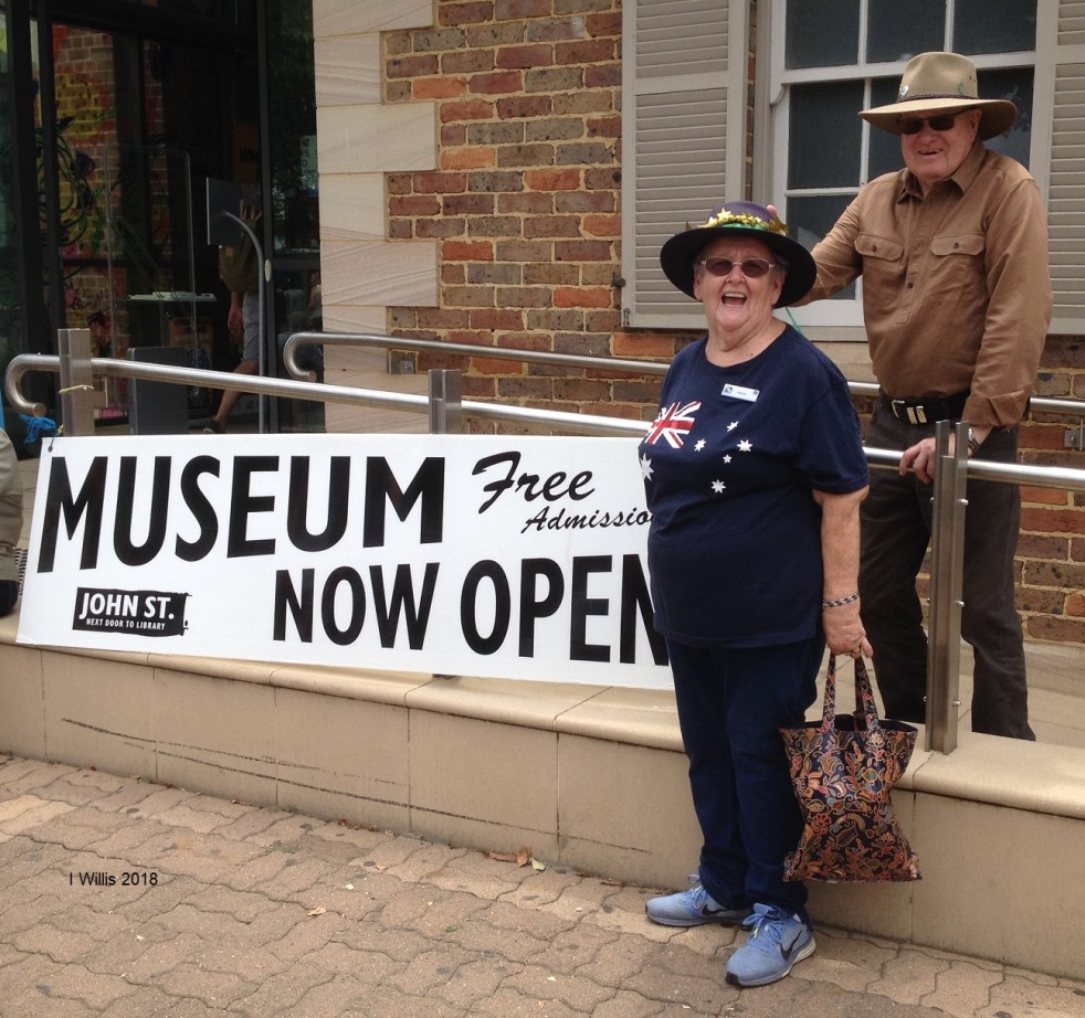
On a cloudy day in late May 2025, the Friends of Belgenny Farm held an open day attracting over 285 visitors interested in early Australian history. The event featured various stalls, historical displays, and guided tours of the historic site, which holds national significance and showcases Australia's earliest colonial farm buildings.
Share this:

Share this:
Understanding the Camden Story: History, Community, and Identity
The Camden story encapsulates the rich tapestry of tales and histories that define the Camden community, including dreamtime legends and settler accounts. It offers insight into the community's values, identity, and resilience, serving as both a historical narrative and a tool for local businesses, fostering deeper connections among residents.
Share this:

Share this:
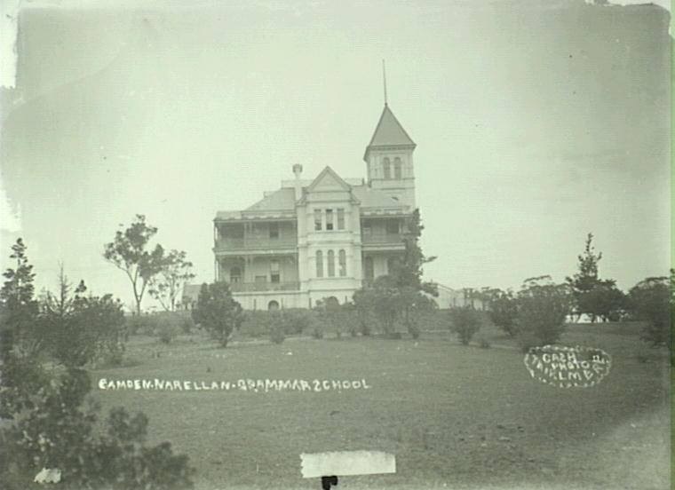
Exploring Studley Park: A Victorian Italianate Heritage Site
Studley Park House, located in Narellan, NSW, exemplifies Victorian Italianate architecture and holds state significance for its aesthetics and historical associations. Constructed in 1889 by architect firm AL & G McCredie for William Charles Payne, it served various purposes, including a school and military quarters, before becoming a private residence.
Share this:

Share this:
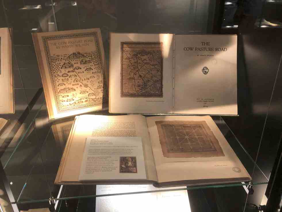
Unveiling Hardy Wilson’s architectural legacy and his influence on Camden’s aesthetics
William Hardy Wilson, a largely unrecognized architect and artist, authored The Cow Pasture Road in 1920, impacting Camden's cultural narrative. His work celebrates colonial architecture and aesthetics, leading to a recent exhibition at the University of Sydney Library, which explores his dual legacy as both a visionary artist and controversial figure in Australian history.
Share this:

Share this:

Garden Palace, showing the wonders of the age
In 1882, a massive fire at Macquarie Street, Sydney, destroyed the Garden Palace and valuable contents, causing significant loss of records and artefacts. The origin of the fire remains a mystery. The Palace was originally built for the Sydney International Exhibition in 1879.
Share this:

Share this:
The Camden Story: the historiography of the history of the country town of Camden NSW
The history of telling the story of a small community has been interpreted in different ways at different times in the past by different historians. This area of study is called the historiography. I have recently published an article on the historiography of the small country town of Camden, NSW.

