
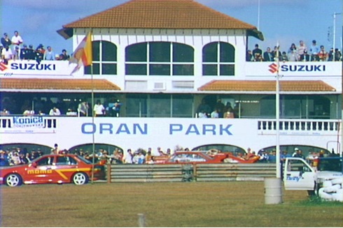
Oran Park is a new suburb on Sydney's urban fringe on the site of the former Oran Park Raceway.
Month: February 2018

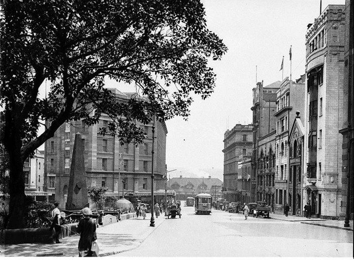
Macquarie Place: an overlooked city space of monumental importance
Macquarie Place is Sydney's oldest public square, established by Governor Macquarie over 200 years ago. Once a colonial elite space, it has transformed alongside the city into a hub for modern finance. The park features monuments and relics, symbolizing its historical significance and ongoing evolution amid urban change.
Share this:

Share this:
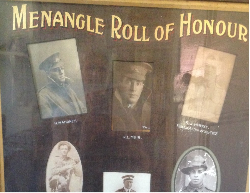
Missing wartime photographs re-appear at Menangle
Missing wartime photographs re-appear at Menangle
Share this:

Share this:
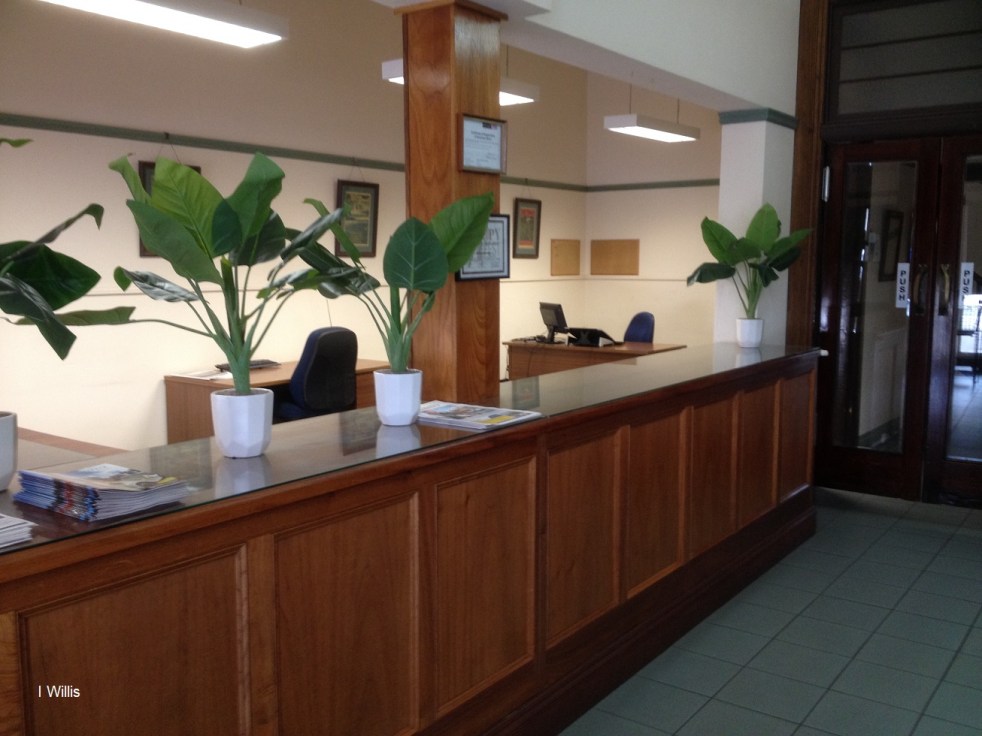
Goulburn Evening Penny Post and its Art-Deco newspaper office and printery
In 1935 a moderne Art-Deco style office was opened for the Goulburn Evening Penny Post
Share this:

Share this:
‘Remaking Cities’, a conference with a heady mix of urban delights
The 'Remaking Cities' Urban History Planning History 2018 Conference was held at RMIT University Melbourne.

