
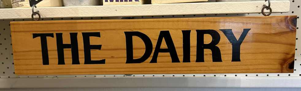
The Camden Museum's dairy corner display chronicles the evolution of dairying in the Camden area from the 1890s to the 1970s, showcasing artifacts from smallholder and industrial farms, including Camden Vale. Once a vital economic sector, local dairy farming has greatly diminished, with only a few farms remaining. The collection highlights tools and equipment like butter churns and milk bottles, illustrating the historical significance of dairying in the region's economy and culture.
Category: Infrastructure

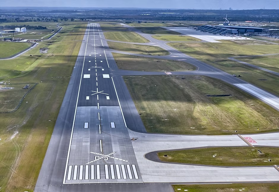
Jet into the Weekend with Western Sydney International (Nancy-Bird Walton) Airport
Western Sydney International Airport offers a gateway to diverse weekend getaways, from local adventures to international travel. Its design integrates natural elements, reflecting Australian culture and providing a calming atmosphere. With 24/7 operations and various airline partnerships, it simplifies travel, encouraging exploration of the surrounding regions and unique experiences.
Share this:

Share this:
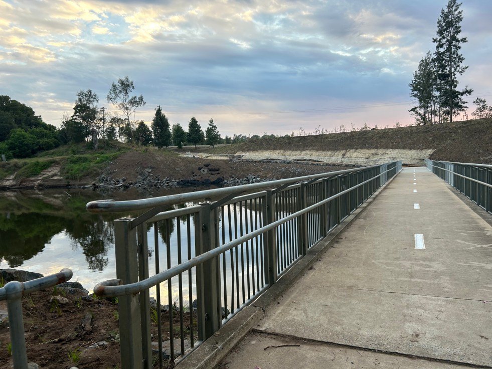
Little Sandy Footbridge Reopens: A Community Treasure
The Little Sandy Footbridge in Camden has reopened, restoring an essential link in the Nepean River Trail after extensive flood-related repairs. Originally constructed during WWII, the bridge has been a beloved community feature, supporting recreational activities for over a century. The project was funded by government sources, totaling $3.7 million.
Share this:

Share this:
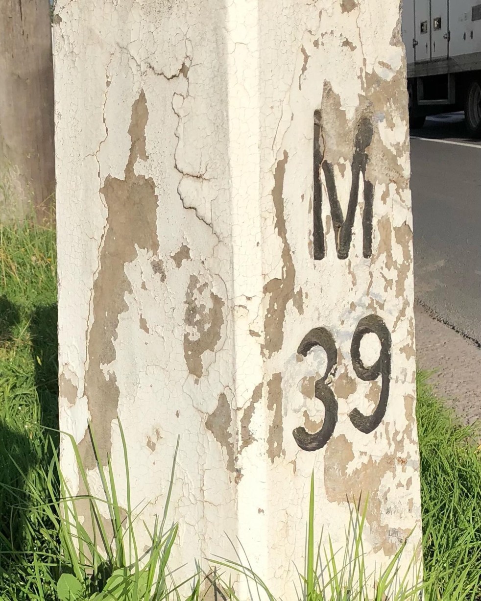
Mileposts captured the distance of the past
The white concrete mileposts in Camden, remnants of the Hume Highway, mark distances to destinations like Sydney and Mittagong. Originating from Roman times, these posts were part of a 1934 initiative to standardize road markers in NSW, aiding both travelers and road maintenance. They reflect Camden's cultural and engineering heritage.
Share this:

Share this:

Mundane objects tell an interesting story
Utility covers are mundane objects that tell interesting stories about the past in an area. Others consider then to be a form of street art and street aesthetic.
Share this:

Share this:
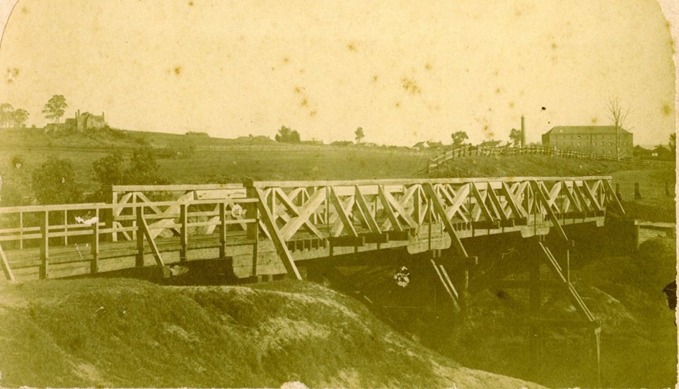
The Cowpastures bridge at the Nepean River crossing
Access across the Nepean River has been an issue since European settlement. The problem was solved by building a bridge with the first in 1826, the next in 1860 followed by 1900 and 1976.

