
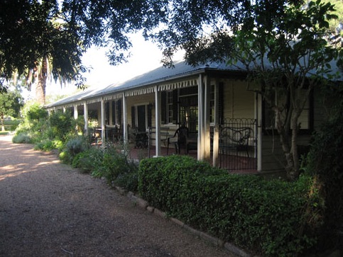
Denbigh, a significant colonial farming complex in Australia, recently opened its gardens to the public for a rare charity viewing. The property, with a dark history of conflict and anxiety, reveals layers of history from dispossession of Aboriginal lands to dairying and urban invasion. Denbigh's fortified structures reflect the fear and violence of the Cowpastures frontier.
Category: Frontier violence

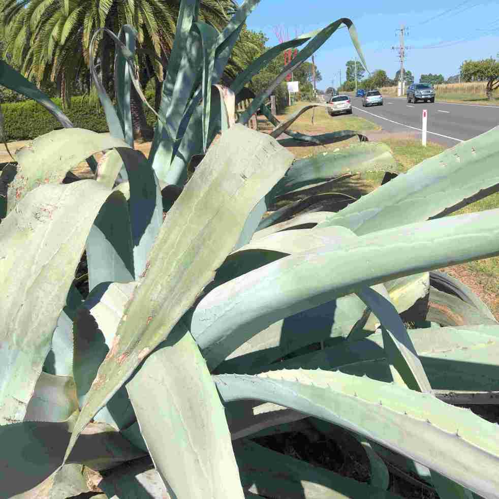
Agave on Cawdor Road, a part of local folklore
The agave plants near Cawdor Road, Camden, have become part of local folklore, with stories spanning murder, historical colonial gardens, and Indigenous conflict. These slow-growing succulents have sparked controversy and conjecture, with their true history and significance remaining a mystery. Despite attempts to uncover the truth, the agave's legend endures across generations.
Share this:

Share this:

Cowpastures’ memories in monuments, memorials and murals.
Many memorials and monuments across the Cowpastures landscape commemorate its history and sense of place, with a recent nostalgic turn focusing on the pioneers and European settlement. War memorials are a ubiquitous form of memorialization in the Macarthur region, and public art, historical sites, and cultural heritage also play significant roles. These commemorations can be controversial, especially considering Australia's dark history, and evoke different memories for different people. Additionally, the landscape of the Cowpastures is interpreted in various ways, including as a colonial frontier, government reserve, and English-style landscape. Various memorials, artworks, and historic sites dot the region, contributing to its identity and history.
Share this:

Share this:
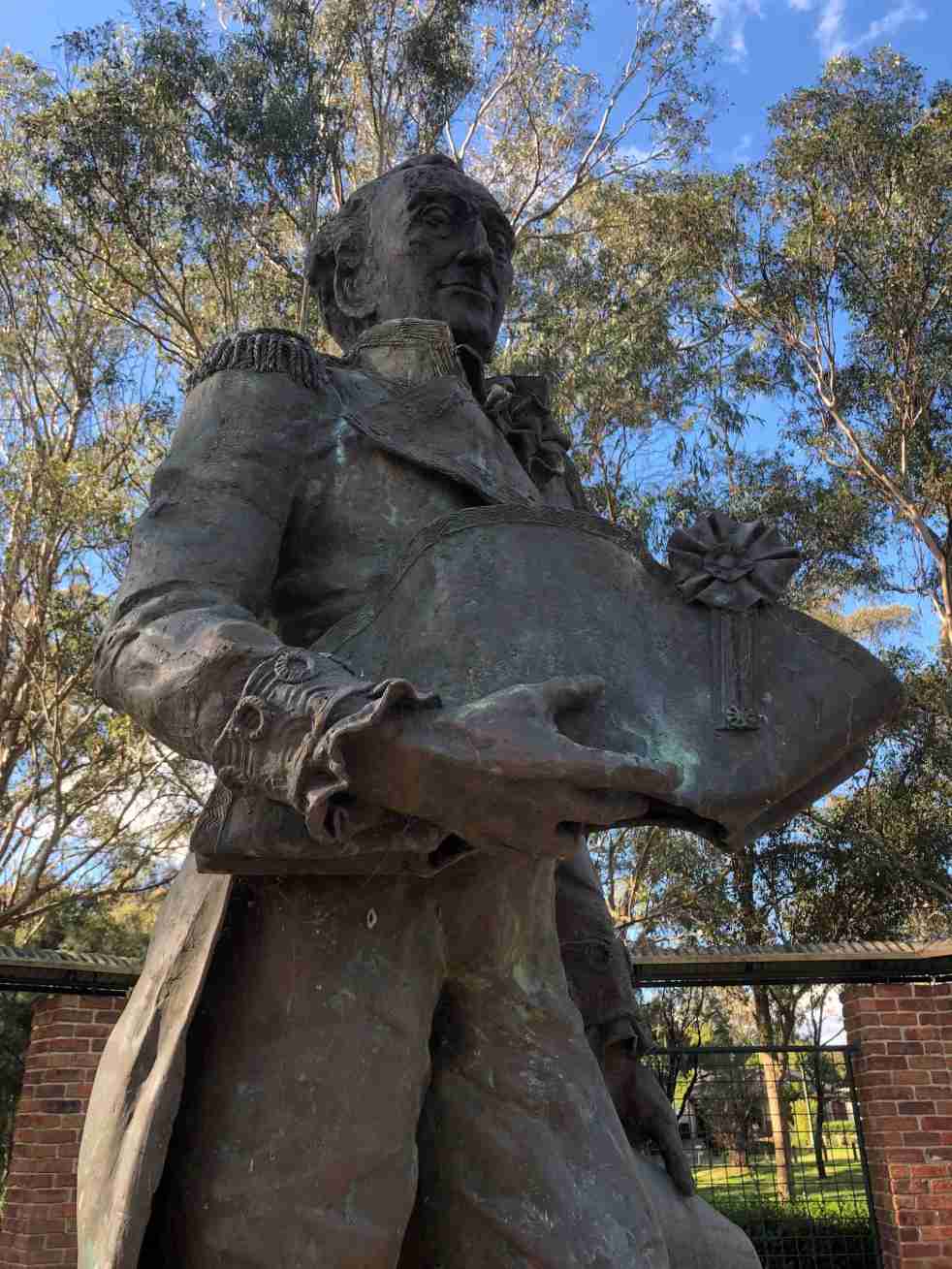
Governor Hunter, a Cowpastures memorial at Mount Annan
The statue of Governor Hunter in the Governors Green Park at Mount Annan is another celebration of the history of the Cowpastures.
Share this:

Share this:

Cowpastures: artwork at Harrington Park Lake
The public art installation called 'Cowpastures' at Harrington Park Lakeside walkway is an example of wayfinding, placemaking, memorialisation and urban development.
Share this:

Share this:

Cowpastures Memorial, Picton
The Picton Cowpastures Memorial mural is the first memorial to the historic Cowpastures and its Wild Cattle in the Macarthur region.
Share this:

Share this:
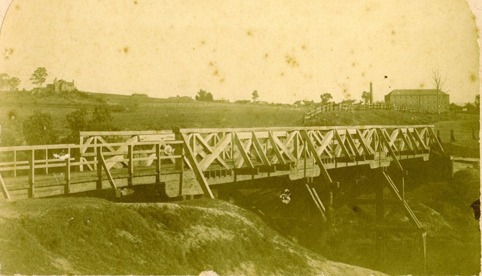
The Cowpastures bridge at the Nepean River crossing
Access across the Nepean River has been an issue since European settlement. The problem was solved by building a bridge with the first in 1826, the next in 1860 followed by 1900 and 1976.
Share this:

Share this:

Camden Heritage Conservation Area – an English-style village in the Cowpastures
The Macarthur private village of Camden was located in the English style countryside of the Cowpastures countryside with its gentry estates and villages. Founded in 1840 it was all part the British imperial imperative and the settler colonial project that came with it.
Share this:

Share this:
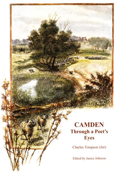
Charles Tompson, a colonial diarist of the Cowpastures
A colonial diarist of the Cowpastures, Charles Tompson.
Share this:

Share this:
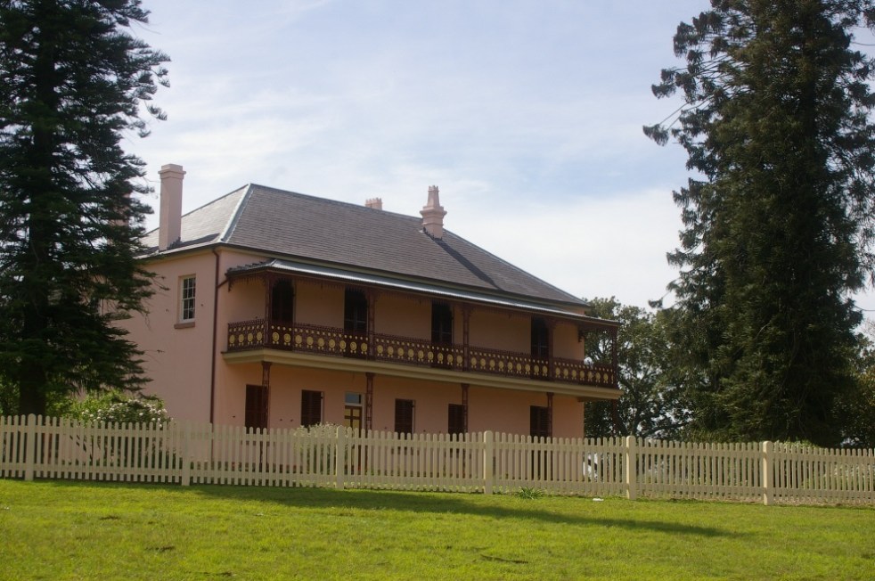
Bella Vista Farm, an early part of the Macarthur rural empire
Bella Vista Farm is an early part of the Macarthur family pastoral empire and an important site in the history of colonial NSW.

