
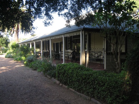
Denbigh, a significant colonial farming complex in Australia, recently opened its gardens to the public for a rare charity viewing. The property, with a dark history of conflict and anxiety, reveals layers of history from dispossession of Aboriginal lands to dairying and urban invasion. Denbigh's fortified structures reflect the fear and violence of the Cowpastures frontier.
Category: Appin


The Cowpastures Bicentennial, Governor Hunter and the Appin Massacre: the memory of the Cowpastures
I often wondered why the cultural material representative of the Cowpastures appeared to have been 'forgotten' by our community. The list of cultural items is quite an extensive include: roads and bridges, parks and reserves; historic sites, books, paintings, articles; conferences, seminars, and workshops; monuments, memorials and murals; community commemorations, celebrations and anniversaries.
Share this:

Share this:
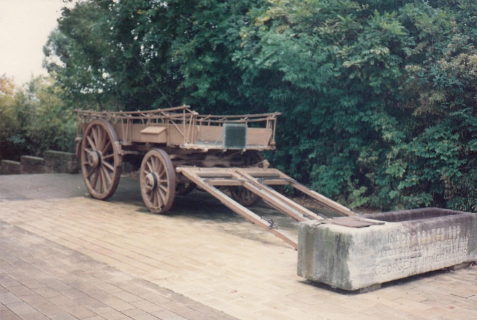
The Bennett wagon, a piece of transport history
The historic Bennett (Percival) Wagon is a cultural icon of a different time when horse and bullock teams were kings of the road.
Share this:

Share this:
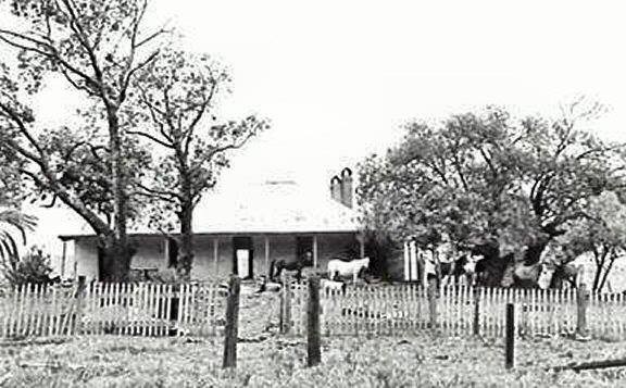
Beulah and Sydney’s Urban Sprawl
Beulah estate, Sydney's urban sprawl and the Appin Road
Share this:

Share this:
Was Governor Lachlan Macquarie a terrorist?
In The Guardian Australia online this week there has appeared an article that asks the question: 'Was Governor Lachlan Macquarie a terrorist?' Paul Daley writes: Macquarie is the Australian leader who used terrorism and slaughter to quell hostile Indigenous resistance to invasion and dispossession. The colonial frontier was a violent location and many people suffered… Continue reading Was Governor Lachlan Macquarie a terrorist?
Share this:

Share this:
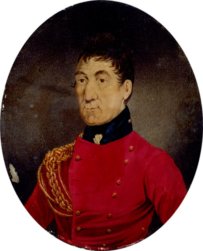
Governor Macquarie tours Cow Pastures and Illawarra 1822
Governor Macquarie (SLNSW) Lachlan Macquarie on tour Governor Lachlan Macquarie, accompanied by Mrs Macquarie, made his final visit to the Cowpastures and the Campbelltown area in January 1822. He inspected the area around Cawdor, Camden Park, Brownlow Hill, and Macquarie Grove. Macquarie also descended into the Illawarra and travelled through the area around Tom Thumb… Continue reading Governor Macquarie tours Cow Pastures and Illawarra 1822

