
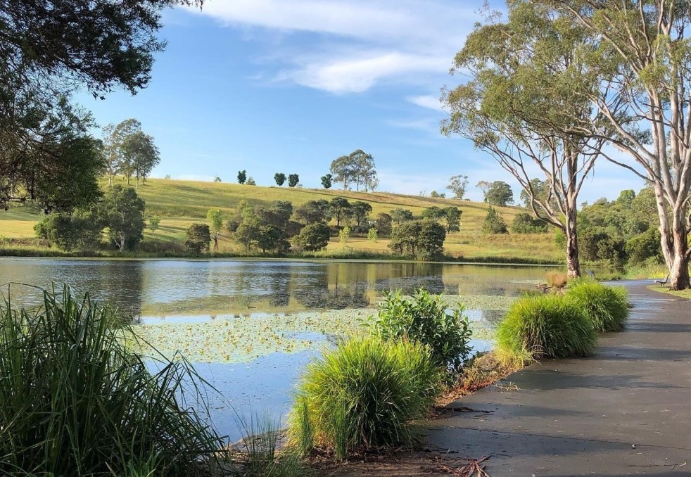
Western Sydney is a complex, diverse region with numerous communities, recognized by various government levels for planning and investment. Historically significant, it faces socio-economic disparities highlighted by the "Latte Line" and "Red Rooster Line." Recent developments, including the Western Sydney International airport, aim to enhance its identity and economic growth, fostering a sense of place.
Category: Urbanism

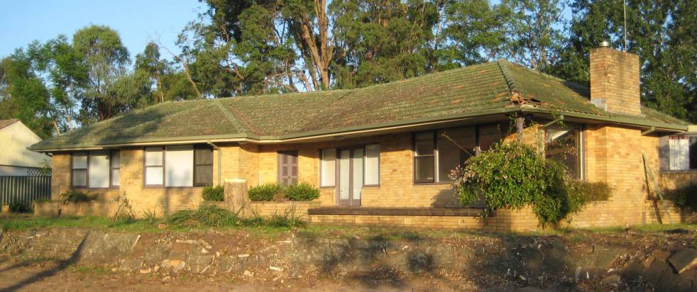
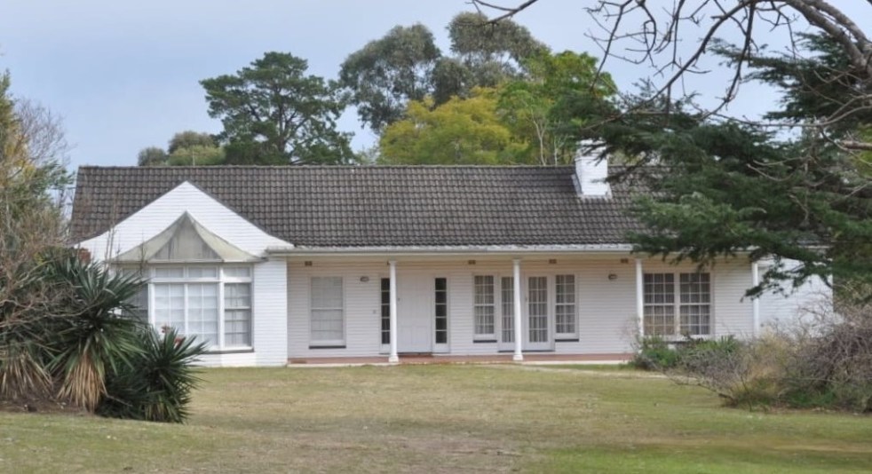
Exploring Lost Camden, The Legacy of The Hennings House
The Hennings House, a mid-century modern ranch-style residence built in 1960, was a prominent part of Elderslie's architectural landscape until its demolition in 2011 for a preschool. Known for its distinctive features and design, the house highlighted the cultural significance of post-World War II domestic architecture in Camden.
Share this:

Share this:

Historian writes about McWings: storytelling as effective marketing.
The McDonald's McWings campaign creatively utilizes historians as storytellers to establish authenticity and emotional connections with consumers. By intertwining historical references and narratives, McDonald's aims to engage audiences while reinforcing its marketing strategy, showcasing its historical impact on the food industry and its cultural significance in regions like Macarthur.
Share this:

Share this:
Sydney’s Cultural Identity: A City of Contradictions
Sydney presents a striking contrast between its stunning harbour and perceived lack of cultural depth. Critics argue the city is a "cultural wasteland," with isolated artistic venues and a fragmented entertainment scene, unlike the vibrant precincts found in Melbourne, London and New York. Sydney's cultural identity partly emerges from its diverse tribes and subcultures that are found in the depths of the suburbs.
Share this:

Share this:
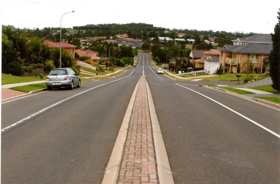
Navigating Australia’s Housing Crisis: Insights from Sydney’s Urban Fringe
The complexities of addressing Australia's housing challenges, suggests an article from ABC News, on Sydney's urban fringes are not as simple as they might seem. While author Ian Willis explores how the growing population has created demand for housing, the reality often falls short of expectations. Many new residents, he writes, are drawn by promises of suburbia, face disillusionment due to inadequate infrastructure, high density, and unresolved issues like traffic congestion and housing quality. Willis argues that the ongoing crises reflect a disconnect between development aspirations and lived experiences, suggesting the need for improved planning and understanding of community needs.
Share this:

Share this:

Camden Council vote on listing the Camden Township on the State Heritage Register
On 11 March 2025, Camden Council discussed a motion by Councillor Peter McLean to list Camden Township on the State Heritage Register, citing its significant historical and cultural value. Despite support from the Camden Historical Society and several councillors, the motion was ultimately defeated in a 6-3 vote, with concerns raised about its impact on businesses.
Share this:

Share this:
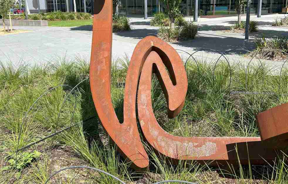
Exploring Greg Johns’s public art installation outside the Oran Park Leisure Centre
At the front of the Oran Park Leisure Centre is Greg Johns' art installation, Vortex Mandala, which was inaugurated on 21 October 2024. This public artwork reflects swirling patterns symbolizing energy flow and consciousness. Johns, influenced by the Adelaide Hills, aims to create significant public sculptures that engage viewers and enhance the local environment.
Share this:

Share this:
A Journey Through Camden’s Mid-Century Housing Architecture
Camden's mid-century housing, developed between the 1940s and 1970s, reflects a worldwide modernism movement. Characterized by simple lines and open spaces, these homes arose amid urban growth linked to the new jobs created by the Burragorang coalfields. Unfortunately, many of these historic structures are disappearing, necessitating greater recognition and appreciation of their significance.
Share this:

Share this:
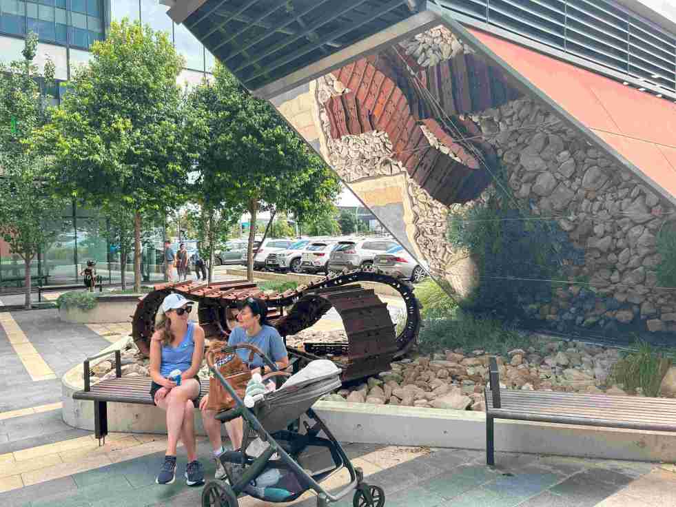
Exploring the ‘Infinity Tracks’ Art Installation in Oran Park
The 'Infinity Tracks' art installation in Oran Park honors the region's heavy haulage industry, highlighting the historical impact of the transport industry and Oran Park Town urban development. Commissioned in 2020 by Greenfields Development Co and TRN House, it enhances the forecourt's aesthetic while reflecting the area's economic growth and employment contributions from the haulage sector and urban development.
Share this:

Share this:
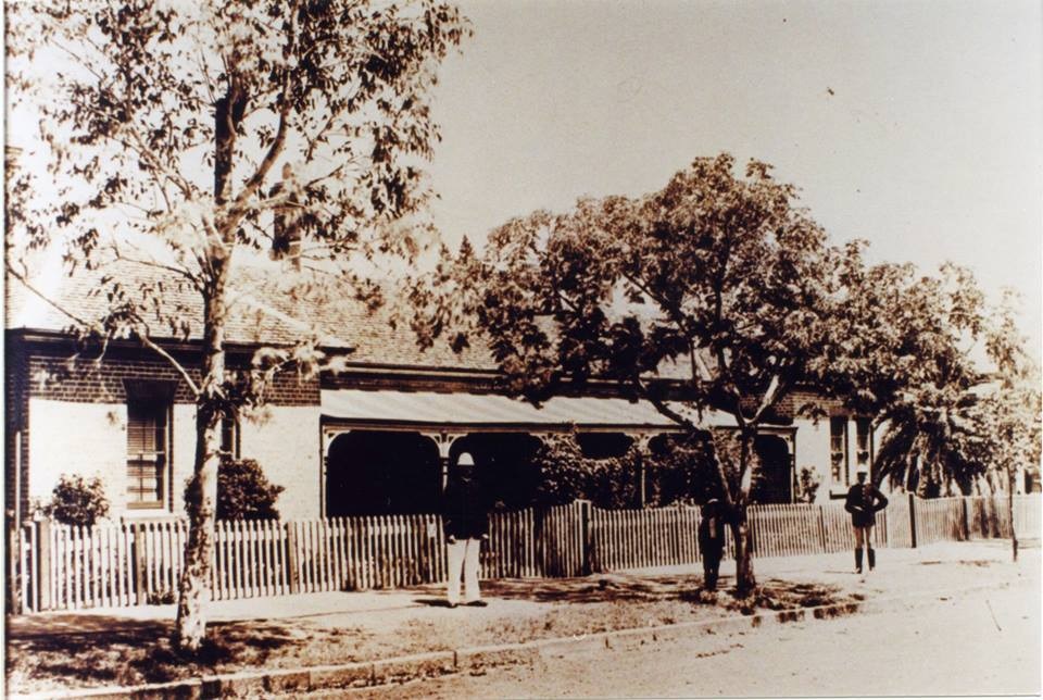
Future of the former Camden police barracks: community concerns
The former Camden police barracks, now vacant since 2011, represents a risk of neglect and disrepair. The Tharawal Local Aboriginal Land Council, which acquired the site in 2020, has yet to disclose plans for its future use. The community seeks clarity on whether the building will be utilized or sold.

