

The content explores the role of data lists in local history writing, highlighting how they serve as essential research tools for historians. While lists provide foundational facts, they lack narrative context and depth. The post argues for using data lists to enhance storytelling about communities and emphasizes the importance of combining facts with personal stories for a richer historical understanding.
Tag: Stories


Exploring Little Sandy: Camden’s Hidden Gem
Little Sandy, a cherished location on the Nepean River in Camden, is celebrated for its rich community history and the memories it holds for locals. Enhanced by the Camden Weir, it features a modern footbridge and Aboriginal-inspired artwork, symbolizing its cultural significance as a site of gatherings, swimming, and personal milestones.
Share this:

Share this:
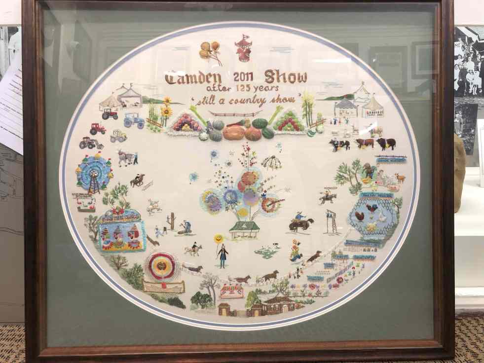
The legacy of embroidery, Elaine Balla’s Camden Show artwork
Elaine Balla, an accomplished embroidery artist, created 'The Camden Show' for the 2011 Camden Show's 125th anniversary, winning a Champion Exhibit Ribbon. Her work, now displayed at the Camden Museum, vividly represents community stories. Balla's contributions span sixty years, illustrating women's expression through the art of embroidery, their agency and telling community stories.
Share this:

Share this:

The Role of Historians in an AI World
A Microsoft study suggests historians are among jobs most at risk from AI, particularly due to AI's ability to gather data. However, historians play a crucial role in interpretation, analysis, and narrative construction, capabilities AI lacks. Therefore, while AI may assist, it cannot replace historians, ensuring their continued relevance in understanding the past.
Share this:

Share this:

Historian writes about McWings: storytelling as effective marketing.
The McDonald's McWings campaign creatively utilizes historians as storytellers to establish authenticity and emotional connections with consumers. By intertwining historical references and narratives, McDonald's aims to engage audiences while reinforcing its marketing strategy, showcasing its historical impact on the food industry and its cultural significance in regions like Macarthur.
Share this:

Share this:

Exploring Your Hometown: Hidden Gems Await
Exploring your hometown can reveal hidden wonders and local history often overlooked. Resources like libraries and historical societies offer insights into the past, while nature provides adventurous experiences. Engaging with local culture, festivals, and unique culinary offerings can enhance your appreciation of familiar surroundings. Stay curious and discover the extraordinary in the ordinary.
Share this:

Share this:
Understanding the Camden Story: History, Community, and Identity
The Camden story encapsulates the rich tapestry of tales and histories that define the Camden community, including dreamtime legends and settler accounts. It offers insight into the community's values, identity, and resilience, serving as both a historical narrative and a tool for local businesses, fostering deeper connections among residents.
Share this:

Share this:

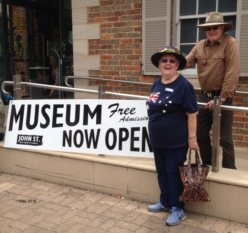
Camden Historical Society’s Strategic Plan Draft Unveiled
The Camden Historical Society is developing a strategic plan for 2025-2030, focusing on governance, programming, and collection management at the Camden Museum. With 113 members and 50 active volunteers contributing significantly to local heritage, the society aims to enhance the community's knowledge and appreciation of Camden's history.
Share this:

Share this:
Camden History Journal Features Woman of the Year
New edition of Camden History journal Immerse yourself in interesting and exciting local stories. These gripping stories can be found in the latest edition of Camden History. The vivacious Frances, Camden's 2025 Woman of the Year, graces the front cover. Camden Museum#camdenhistory#camdenwoman#franceswarner Make sure you get your copy for sale at the Camden Museum. Contents
Share this:

Share this:
Camden Trainee Teachers Camp 1924: Unveiling a Mysterious Journey
In 1924, a group of trainee teachers from Sydney Teachers College visited Camden for practical training, sparking local curiosity. This visit was part of a tradition that began in 1921, providing hands-on experience in local schools. The program's success was notable, drawing attention from education authorities and the media, and leaving a lasting impact on the community.

