
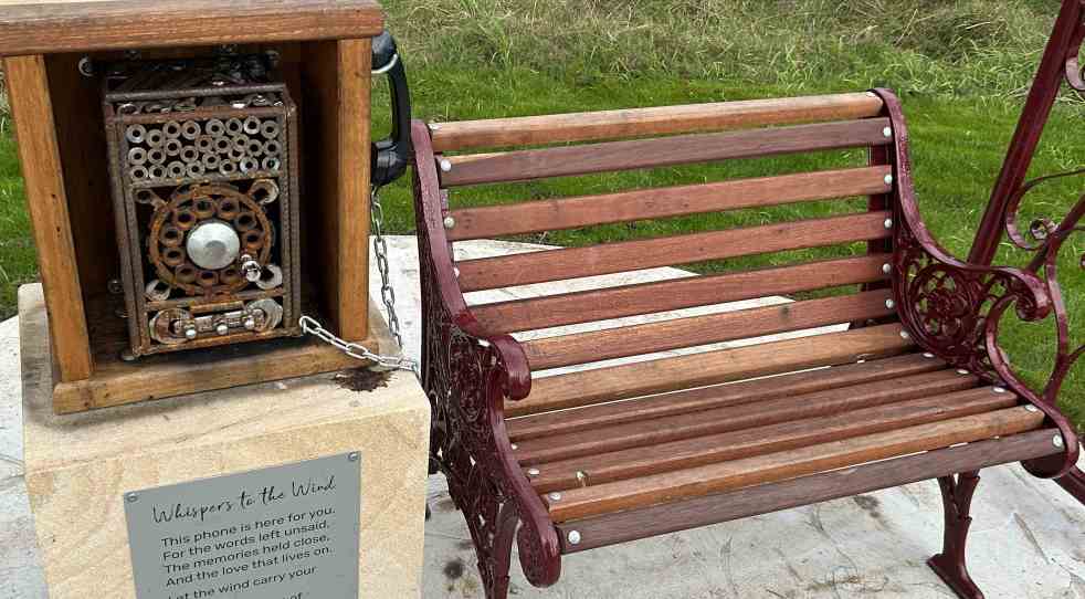
A new art installation, "Whispering in the Wind," has been unveiled along the Nepean River Trail in Camden, NSW. Created by artist Quinton Laws using recycled materials, the wind phone provides a space for reflection and connection for those grieving. Inspired by global installations, it encourages open expression of emotions.
Category: Travel

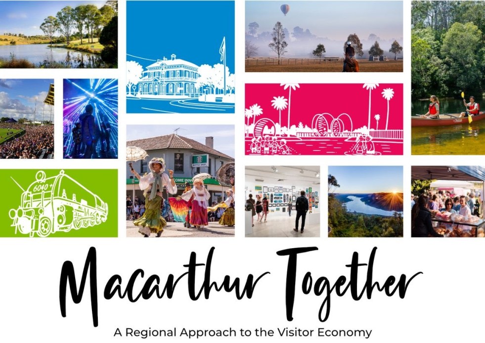
Exploring Opportunities for Macarthur’s Visitor Economy
The 'Macarthur Together' forum brought together tourism operators, businesses, and local government to collaborate on promoting the Macarthur region. Held at the Australian Botanic Garden Mount Annan, the event focused on enhancing visitor experiences through cooperation, showcasing local authenticity, and leveraging social media. The potential impact of Western Sydney International Airport on tourism was also discussed.
Share this:

Share this:
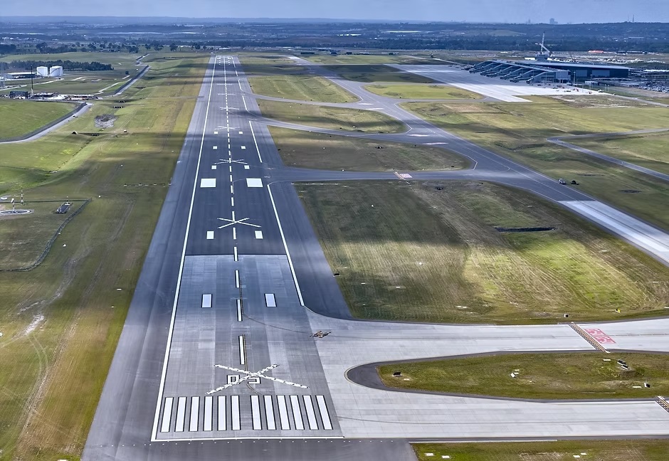
Jet into the Weekend with Western Sydney International (Nancy-Bird Walton) Airport
Western Sydney International Airport offers a gateway to diverse weekend getaways, from local adventures to international travel. Its design integrates natural elements, reflecting Australian culture and providing a calming atmosphere. With 24/7 operations and various airline partnerships, it simplifies travel, encouraging exploration of the surrounding regions and unique experiences.
Share this:

Share this:
Exploring the Complexities of Western Sydney’s Identity
Western Sydney is a complex, diverse region with numerous communities, recognized by various government levels for planning and investment. Historically significant, it faces socio-economic disparities highlighted by the "Latte Line" and "Red Rooster Line." Recent developments, including the Western Sydney International airport, aim to enhance its identity and economic growth, fostering a sense of place.
Share this:

Share this:
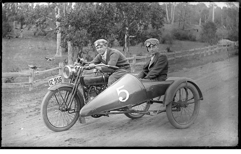
History of Camden Motorcycle Club: pioneers of adventure, movement and modernism
The Camden Motorcycle Club, founded in 1919 and led by Dr. Francis W. West, played a pivotal role in local motorcycle culture in early 20th-century Australia. Members,. like Laurie Kelloway, engaged in adventurous overlanding, promoting camaraderie and the excitement of the open road. The club also provided community support, such as raising funds for disabled veterans like Private Cecil Wheeler.
Share this:

Share this:
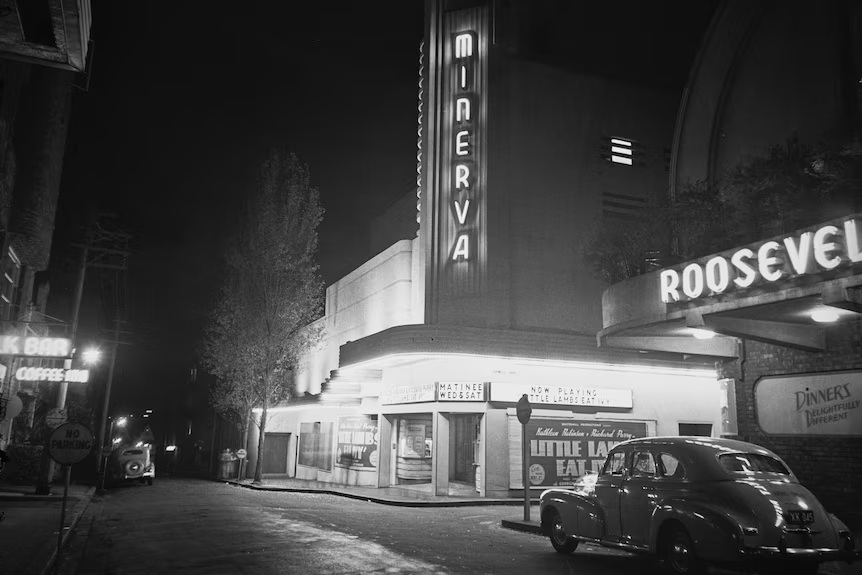
Sydney’s Cultural Identity: A City of Contradictions
Sydney presents a striking contrast between its stunning harbour and perceived lack of cultural depth. Critics argue the city is a "cultural wasteland," with isolated artistic venues and a fragmented entertainment scene, unlike the vibrant precincts found in Melbourne, London and New York. Sydney's cultural identity partly emerges from its diverse tribes and subcultures that are found in the depths of the suburbs.
Share this:

Share this:

2025 Camden Show: A Photographic Journey
The photographic essay captures the vibrant atmosphere of the 2025 Camden Show, showcasing various activities, displays, and exhibitions. Highlights include the Woolworths produce pavilion, enthusiastic attendance from parents at performances, and contributions from local services like the Rural Fire Service, NSW Fire Brigade, and police, enriching the community experience.
Share this:

Share this:
Understanding the Camden Story: History, Community, and Identity
The Camden story encapsulates the rich tapestry of tales and histories that define the Camden community, including dreamtime legends and settler accounts. It offers insight into the community's values, identity, and resilience, serving as both a historical narrative and a tool for local businesses, fostering deeper connections among residents.
Share this:

Share this:
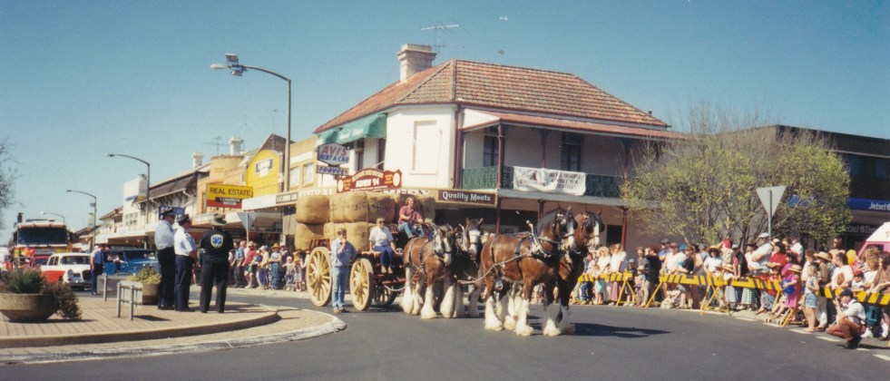
Camden Teamsters Memorial, when the horse was king on the Yerranderie Road
Tribute to mining and industrial heritage If you wander along the John Street heritage precinct, you will come across a quaint monument with a large wagon wheel reminding you of when the horse was king on the Yerranderie Road. The Camden Teamster's Memorial is on John Street, Camden. The memorial is between Macaria, a… Continue reading Camden Teamsters Memorial, when the horse was king on the Yerranderie Road
Share this:

Share this:
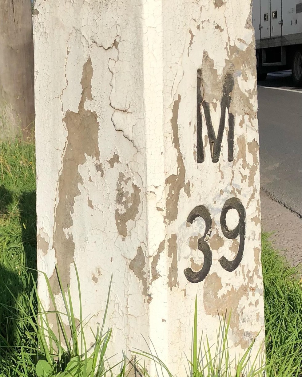
Mileposts captured the distance of the past
The white concrete mileposts in Camden, remnants of the Hume Highway, mark distances to destinations like Sydney and Mittagong. Originating from Roman times, these posts were part of a 1934 initiative to standardize road markers in NSW, aiding both travelers and road maintenance. They reflect Camden's cultural and engineering heritage.

