
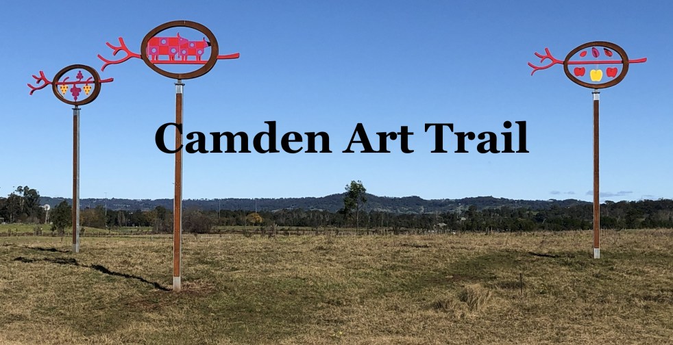
The Camden Public Art Trail, officially opened in June 2024, connects the Nepean River to Camden Town Farm and features stunning artwork installations across a 4.2-kilometer walkway. Funded by the NSW Government, the trail celebrates local heritage and ecology while providing an accessible outdoor experience for visitors, though dogs are not permitted.
Category: Wayfinding

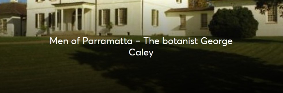
George Caley’s 1804 Report on the Vaccary Forest
George Caley (1770–1829) explored the Cowpastures in New South Wales and reported in 1804 on the thriving wild cattle there, suggesting the name "Vaccary Forest." Caley's knowledge of "vaccaries," common in medieval England, influenced his preference for this term over the existing one. He extensively documented his findings during his decade-long exploration in Australia.
Share this:

Share this:

Life Blood, public art at the Australia Botanic Gardens
On the forecourt of the Herbarium at the Australian Botanic Garden is an artwork celebrating the heritage of Indigenous culture called Life Blood.
Share this:

Share this:
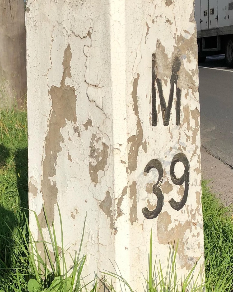
Mileposts captured the distance of the past
The white concrete mileposts in Camden, remnants of the Hume Highway, mark distances to destinations like Sydney and Mittagong. Originating from Roman times, these posts were part of a 1934 initiative to standardize road markers in NSW, aiding both travelers and road maintenance. They reflect Camden's cultural and engineering heritage.
Share this:

Share this:

Cowpastures: artwork at Harrington Park Lake
The public art installation called 'Cowpastures' at Harrington Park Lakeside walkway is an example of wayfinding, placemaking, memorialisation and urban development.
Share this:

Share this:
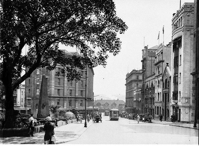
Macquarie Place: an overlooked city space of monumental importance
Macquarie Place is Sydney's oldest public square, established by Governor Macquarie over 200 years ago. Once a colonial elite space, it has transformed alongside the city into a hub for modern finance. The park features monuments and relics, symbolizing its historical significance and ongoing evolution amid urban change.

