
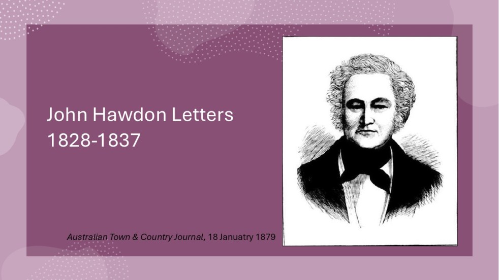
The letters of John Hawdon and others from 1828 to 1837, preserved in the State Library of NSW, provide insights into colonial life in New South Wales. They highlight themes of isolation, communication challenges, economic struggles, and attitudes toward gender and Indigenous populations, alongside Hawdon's farming experiences and family connections.
Category: Cowpastures River

Insights from the Hawdon Letters: Colonial Life in NSW, Part 2, 1831-1833
John Hawdon's letters from New South Wales (1831-1833) reveal colonial life, highlighting farming challenges, isolation from England, and the high costs of communication. These letters provide insights into market conditions, crop successes, and family updates, showcasing the Hawdons' experiences and adaptations in a new land, while retaining original spelling and structure.
Share this:

Share this:
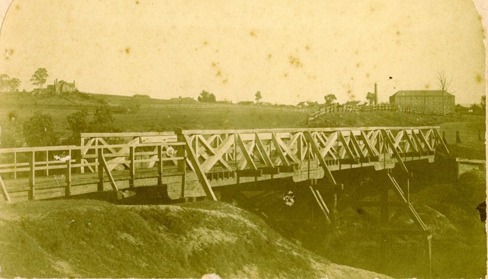
The Cowpastures bridge at the Nepean River crossing
Access across the Nepean River has been an issue since European settlement. The problem was solved by building a bridge with the first in 1826, the next in 1860 followed by 1900 and 1976.
Share this:

Share this:
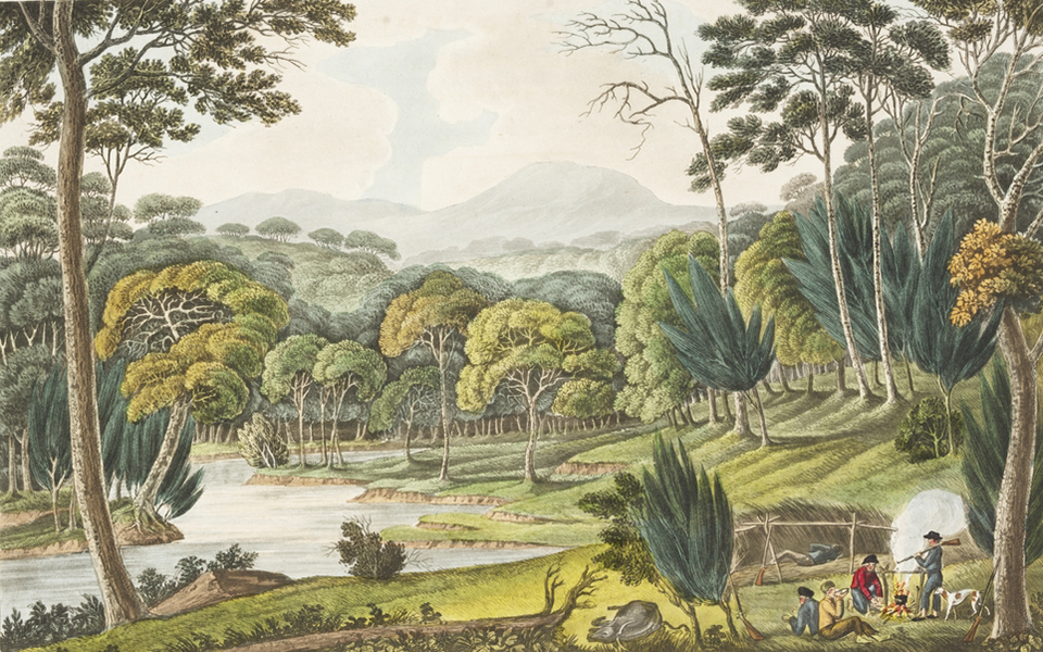
Exploring the Cowpastures region: the early history of a settler society
The Cowpastures region, named by Governor Hunter in 1795, reflects a culturally constructed landscape stemming from the 18th century. Originating with wild cattle from the First Fleet, it evolved into a significant colonial area intersecting Indigenous history. The region's identity waned by the late 19th century but is celebrated today for its historical legacy.
Share this:

Share this:
Cowpastures Bicentennial Celebrations 1995, the beginning of a settler society
Local festival In 1995, the Camden community held a 12-month programme of events to celebrate the bicentennial of the naming of the Cow Pastures by Governor Hunter in 1795 and the discovery of 61 head of wild cattle. The discovery of the cattle herd was an important event in the life of the fledgling colony… Continue reading Cowpastures Bicentennial Celebrations 1995, the beginning of a settler society

