
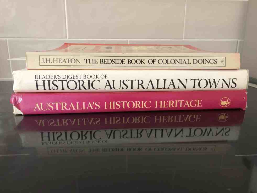
The blog post discusses three historically significant Australian books from the 1980s, which have become neglected items. Heaton’s work is a reference on early Australian history, while Smith’s volume showcases historical sites through photography. Morrison and Irving focus on historic towns and architectural heritage. Collectively, they reflect on popular historiography in Australia.
Category: Georgian

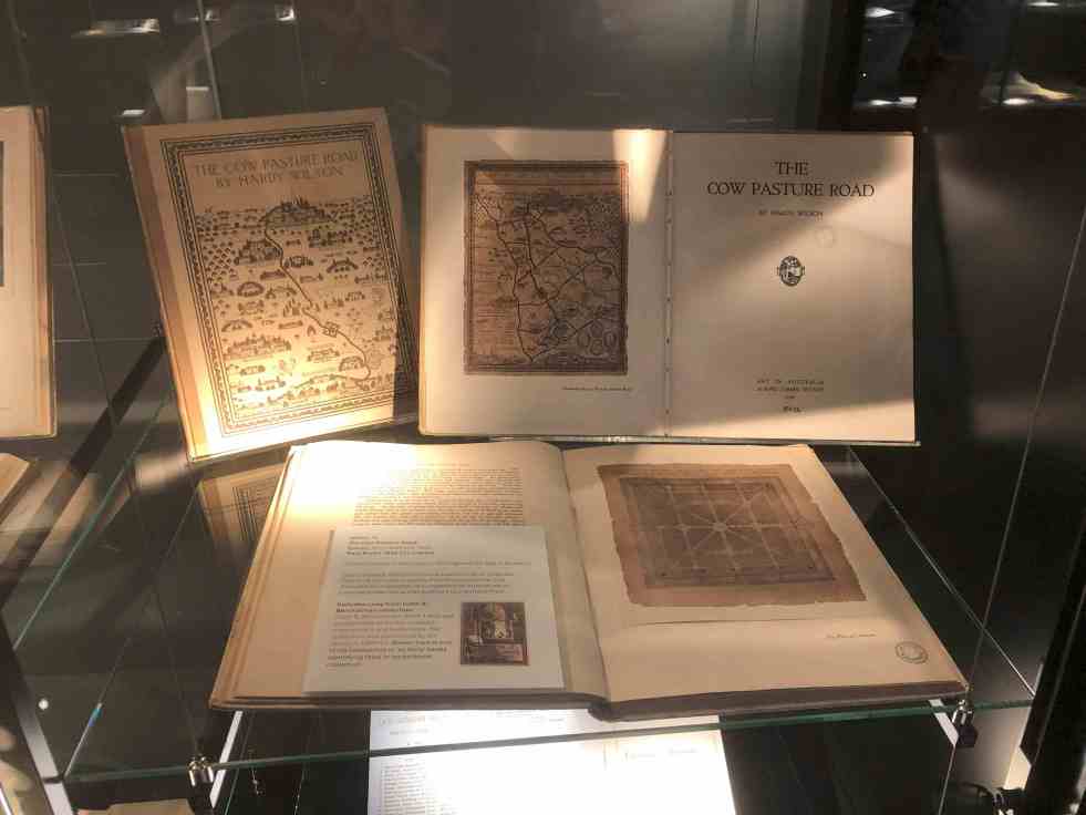
Unveiling Hardy Wilson’s architectural legacy and his influence on Camden’s aesthetics
William Hardy Wilson, a largely unrecognized architect and artist, authored The Cow Pasture Road in 1920, impacting Camden's cultural narrative. His work celebrates colonial architecture and aesthetics, leading to a recent exhibition at the University of Sydney Library, which explores his dual legacy as both a visionary artist and controversial figure in Australian history.
Share this:

Share this:
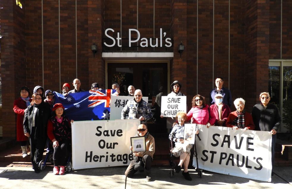
Why does the sale of a local church create community angst? What is going on?
The sale of church land has sparked community angst, particularly at St. Paul's Anglican Church in Bankstown. The proposed heritage listing has led to concerns about redevelopment and closure. Similar issues have arisen in Tasmania, where the sale of local churches has evoked strong emotional and historical attachments. The opposing views between churchgoers and non-churchgoers present an unresolved ethical dilemma.
Share this:

Share this:
The Cowpastures’ English-styled-gentry and their private villages
A certain type of self-styled-English gentry created a landscape in their own vision in the Cowpastures.
Share this:

Share this:

Camden Heritage Conservation Area – an English-style village in the Cowpastures
The Macarthur private village of Camden was located in the English style countryside of the Cowpastures countryside with its gentry estates and villages. Founded in 1840 it was all part the British imperial imperative and the settler colonial project that came with it.
Share this:

Share this:
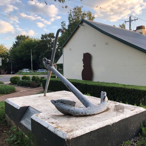
John Oxley’s anchor lost for 34 years
New evidence has emerged challenging previous conclusions about the John Oxley Memorial anchor in Camden. The anchor, a memorial from the British naval authorities, was lost for 34 years before being relocated for public access. John Oxley, an important colonial figure, has multiple commemorations in New South Wales related to his historical significance.
Share this:

Share this:
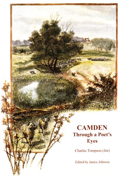
Charles Tompson, a colonial diarist of the Cowpastures
A colonial diarist of the Cowpastures, Charles Tompson.
Share this:

Share this:
Living history in southern Queensland
Living history in southern Queensland in the regional centre of Toowoomba
Share this:

Share this:
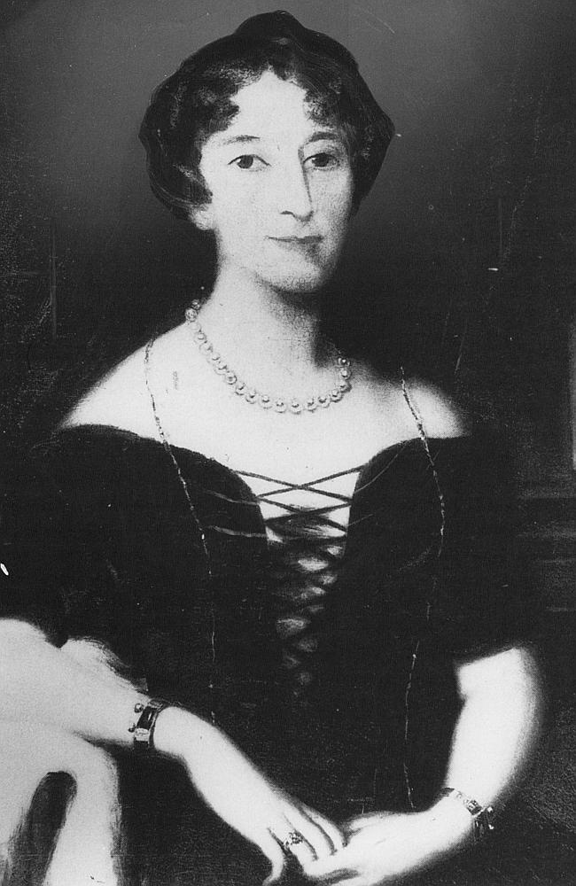
Celebrity author at Camden Museum
Author Michelle Scott Tucker recently spoke at the Camden Museum about her new book Elizabeth Macarthur A Life at the Edge of the World
Share this:

Share this:
Richlands, an outpost of a colonial farming empire
The Richlands estate, north of Goulburn in the NSW Southern Tablelands, was an important part of the Macarthur family pastoral empire for nearly 100 years. The Richlands estate acted as an outstation about one days ride west of Camden Park estate.

