
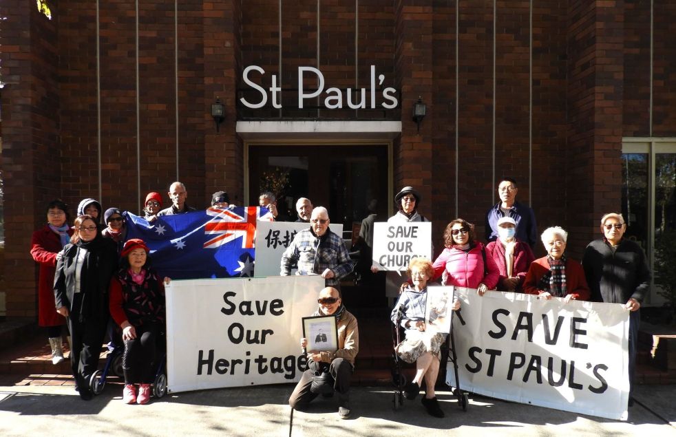
The sale of church land has sparked community angst, particularly at St. Paul's Anglican Church in Bankstown. The proposed heritage listing has led to concerns about redevelopment and closure. Similar issues have arisen in Tasmania, where the sale of local churches has evoked strong emotional and historical attachments. The opposing views between churchgoers and non-churchgoers present an unresolved ethical dilemma.
Category: Gothic

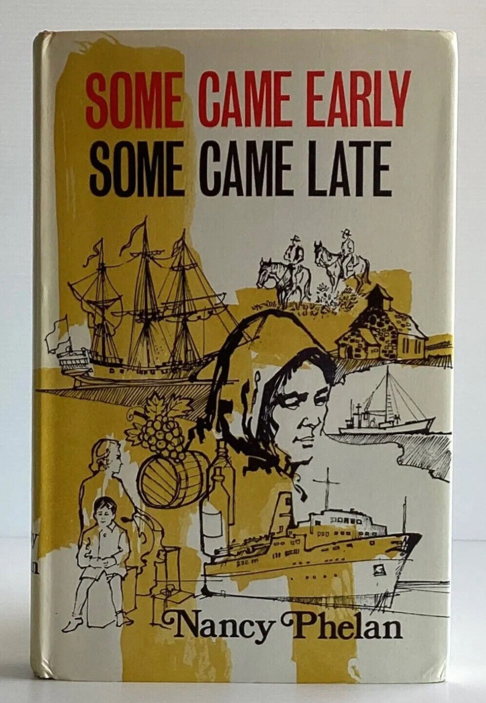
Nancy Phelan’s Reflections on the English Resemblance of Cobbitty, NSW
Australian writer Nancy Phelan's "Some Came Early Some Came Late" (1970) explores the historical significance of the Cobbitty region in New South Wales, focusing on the efforts of early colonial English immigrants to recreate a 'little England'. Phelan's unique perspective, influenced by her own experiences and observations, offers a fresh and captivating view of the region's history, accentuating the deep emotional ties and cultural significance.
Share this:

Share this:
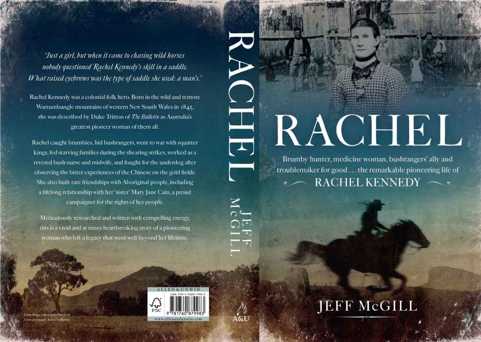
Rachel, a great yarn of the bush from colonial New South Wales
Jeff McGill's Rachel is a ripping yarn about the colonial frontier and the role of women in colonial New South Wales.
Share this:

Share this:
The Cowpastures’ English-styled-gentry and their private villages
A certain type of self-styled-English gentry created a landscape in their own vision in the Cowpastures.
Share this:

Share this:

Mundane objects tell an interesting story
Utility covers are mundane objects that tell interesting stories about the past in an area. Others consider then to be a form of street art and street aesthetic.
Share this:

Share this:

‘Face to Face’, a new exhibition at Alan Baker Art Gallery
A new art exhibition has opened recently at the Alan Baker Art Gallery in Macaria, John Street, Camden. The exhibition FACE to FACE Live Sittings 1936 -1972 runs from April to September 2021. Entry is free.
Share this:

Share this:

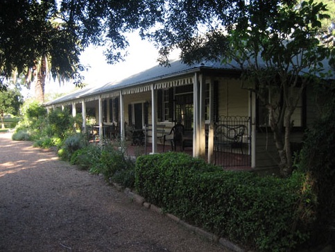
Camden Heritage Conservation Area – an English-style village in the Cowpastures
The Macarthur private village of Camden was located in the English style countryside of the Cowpastures countryside with its gentry estates and villages. Founded in 1840 it was all part the British imperial imperative and the settler colonial project that came with it.
Share this:

Share this:
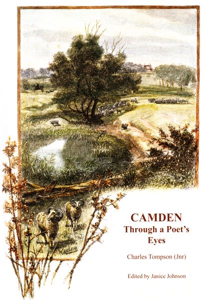
Charles Tompson, a colonial diarist of the Cowpastures
A colonial diarist of the Cowpastures, Charles Tompson.
Share this:

Share this:
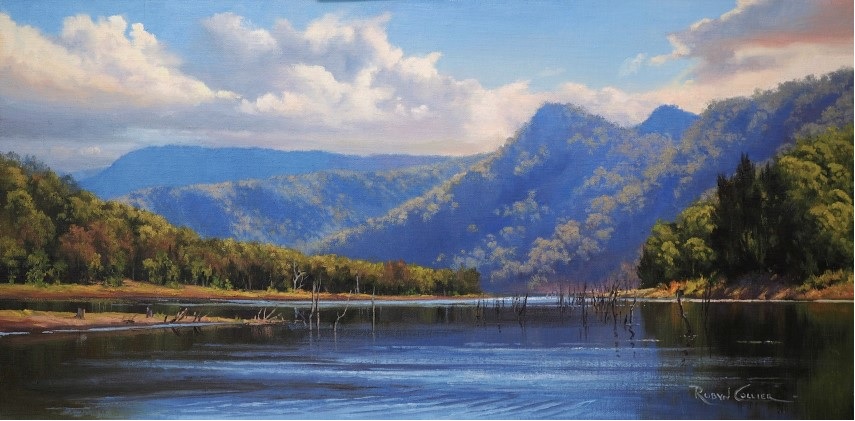
The Burragorang Valley, a lost Gothic fantasy
The Burragorang Valley is a lost Gothic fantasy where many people were attracted to the grandeur and beauty of the valley's landscape. Much of the valley's mystery has been lost under Lake Burragorang.
Share this:

Share this:
Movie making Camden style
Filmmakers have long been drawn to Camden's English countryside setting for movie backdrops. The area has hosted various films, including silent movie Silks and Saddles (1921), wartime drama The Rats of Tobruk (1944), series like A Place to Call Home (2012), and modern productions like Peter Rabbit (2018, 2020). It continues to attract filmmakers seeking a classic English aesthetic for their productions.

