
The Camden story encapsulates the rich tapestry of tales and histories that define the Camden community, including dreamtime legends and settler accounts. It offers insight into the community's values, identity, and resilience, serving as both a historical narrative and a tool for local businesses, fostering deeper connections among residents.
Tag: Cowpastures

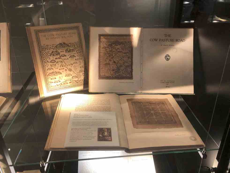
Unveiling Hardy Wilson’s architectural legacy and his influence on Camden’s aesthetics
William Hardy Wilson, a largely unrecognized architect and artist, authored The Cow Pasture Road in 1920, impacting Camden's cultural narrative. His work celebrates colonial architecture and aesthetics, leading to a recent exhibition at the University of Sydney Library, which explores his dual legacy as both a visionary artist and controversial figure in Australian history.
Share this:

Share this:
Explore Narellan’s History: Heritage Walking Tour and Historic Sites
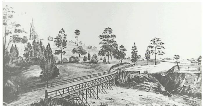
The Narellan Heritage Walking Tour, curated by local photographers Kylie and Peter Lyons, provides a fascinating exploration of the historical and architectural legacy of Narellan. This tour offers insights into the original villages predating Camden's establishment in 1840, featuring notable sites like The Old St Thomas Chapel and the Narellan Public School.
Share this:

Share this:

The Cowpastures Bicentennial, Governor Hunter and the Appin Massacre: the memory of the Cowpastures
I often wondered why the cultural material representative of the Cowpastures appeared to have been 'forgotten' by our community. The list of cultural items is quite an extensive include: roads and bridges, parks and reserves; historic sites, books, paintings, articles; conferences, seminars, and workshops; monuments, memorials and murals; community commemorations, celebrations and anniversaries.
Share this:

Share this:

Cowpastures’ memories in monuments, memorials and murals.
Many memorials and monuments across the Cowpastures landscape commemorate its history and sense of place, with a recent nostalgic turn focusing on the pioneers and European settlement. War memorials are a ubiquitous form of memorialization in the Macarthur region, and public art, historical sites, and cultural heritage also play significant roles. These commemorations can be controversial, especially considering Australia's dark history, and evoke different memories for different people. Additionally, the landscape of the Cowpastures is interpreted in various ways, including as a colonial frontier, government reserve, and English-style landscape. Various memorials, artworks, and historic sites dot the region, contributing to its identity and history.
Share this:

Share this:

Cowpastures Memorial at Narellan
In the plaza outside Narellan Library there is an item public art called the Cowpasture Story.
Share this:

Share this:
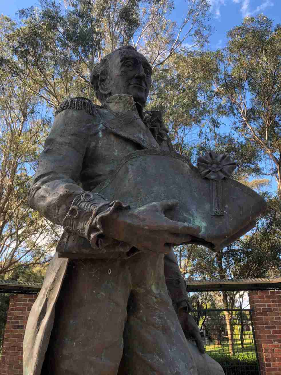
Governor Hunter, a Cowpastures memorial at Mount Annan
The statue of Governor Hunter in the Governors Green Park at Mount Annan is another celebration of the history of the Cowpastures.
Share this:

Share this:
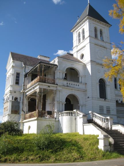
The Cowpastures’ English-styled-gentry and their private villages
A certain type of self-styled-English gentry created a landscape in their own vision in the Cowpastures.
Share this:

Share this:

Cowpastures memorial, Oran Park
The story of the Cowpastures can be told in many ways including through public art. At Oran Park an art installation of a herd of bronze cows is one approach to storytelling.
Share this:

Share this:

Cowpastures: artwork at Harrington Park Lake
The public art installation called 'Cowpastures' at Harrington Park Lakeside walkway is an example of wayfinding, placemaking, memorialisation and urban development.

