

The Camden district was historically significant, serving as a social and economic center for over a century. It integrated farming, mining, and community life, shaped by Aboriginal heritage and European settlement. However, modern developments and infrastructural changes led to its decline, transitioning to a regional identity tied to Macarthur area governance and branding.
Category: Parks

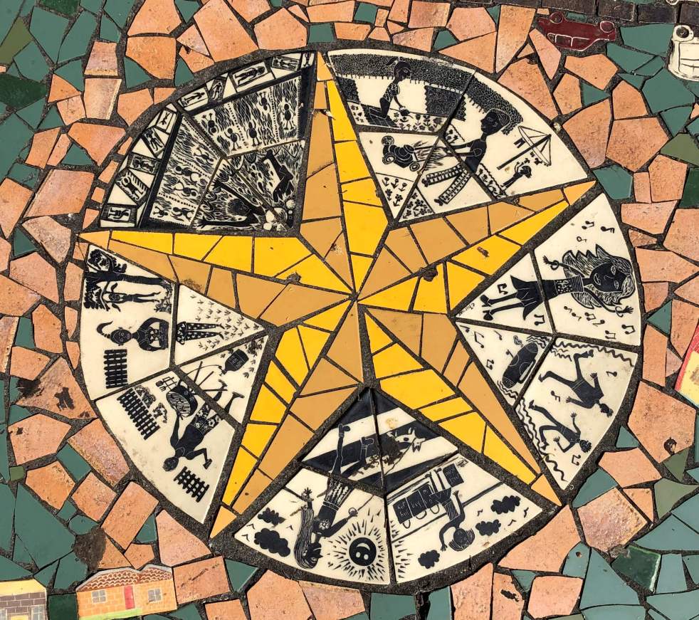
Narellan Community Mosaic Project: art in the park
The Narellan Community Mosaic Project was commissioned in 2005 by Camden Council with funding from the NSW Department of Planning. This artwork is one of number in Elyard Reserve in Narellan.
Share this:

Share this:

Cowpastures Memorial at Narellan
In the plaza outside Narellan Library there is an item public art called the Cowpasture Story.
Share this:

Share this:
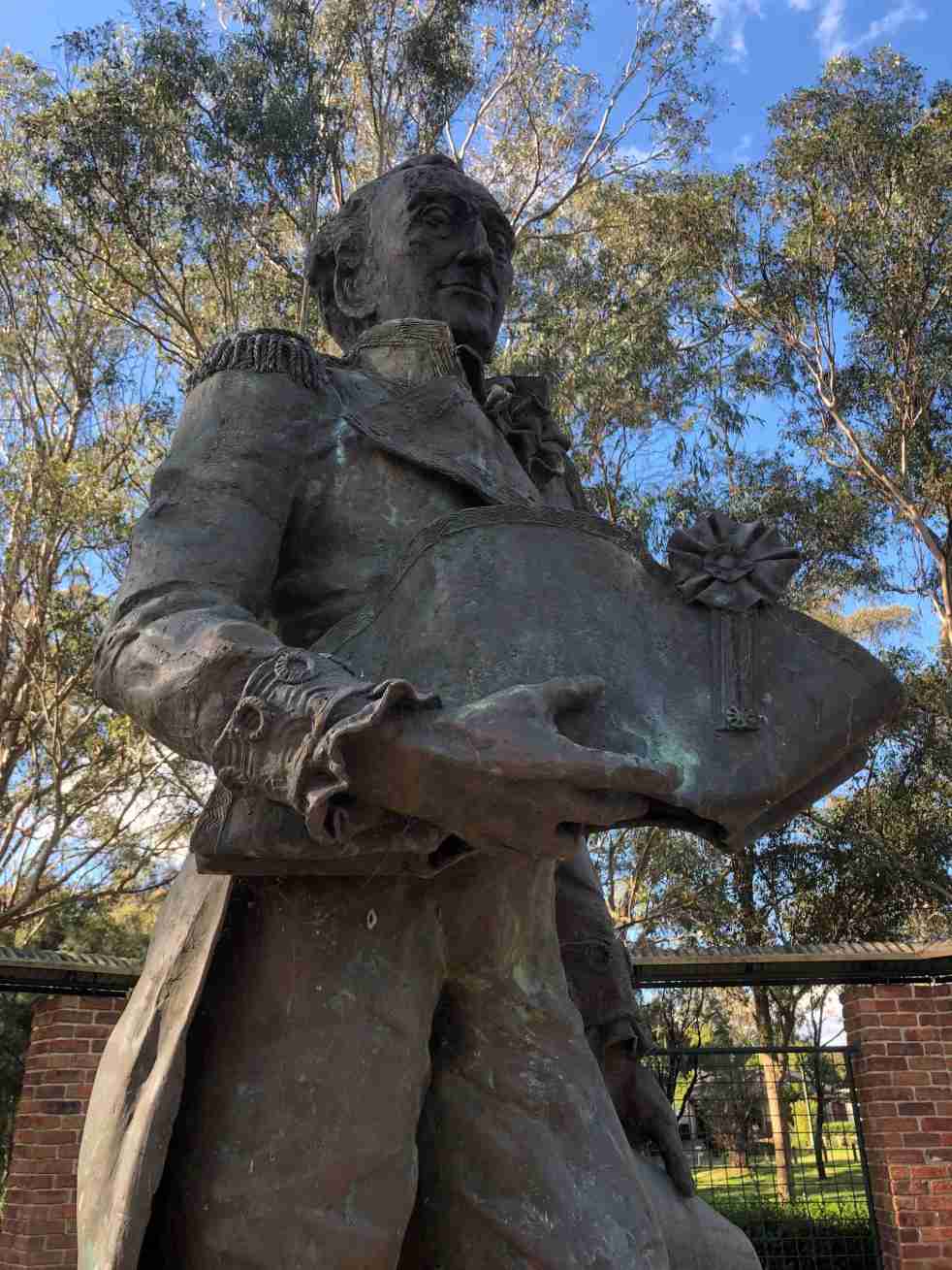
Governor Hunter, a Cowpastures memorial at Mount Annan
The statue of Governor Hunter in the Governors Green Park at Mount Annan is another celebration of the history of the Cowpastures.
Share this:

Share this:

Cowpastures memorial, Oran Park
The story of the Cowpastures can be told in many ways including through public art. At Oran Park an art installation of a herd of bronze cows is one approach to storytelling.
Share this:

Share this:
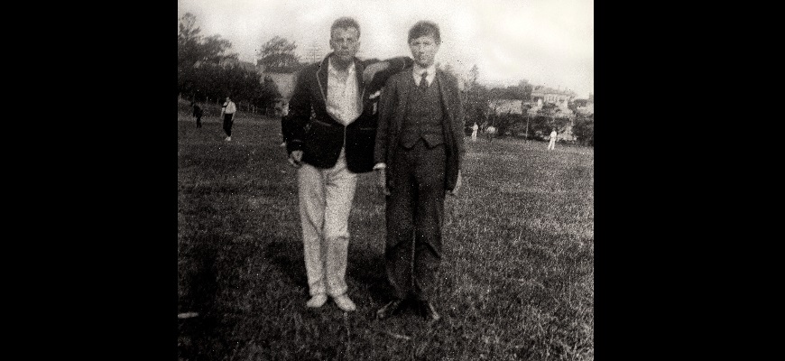
Sunday sport banned in Camden
Camden has a fine tradition of sport and sporting events back into the 19th century. But one day in 1925 Camden’s civic leaders banned Sunday sport at Onslow Park.
Share this:

Share this:
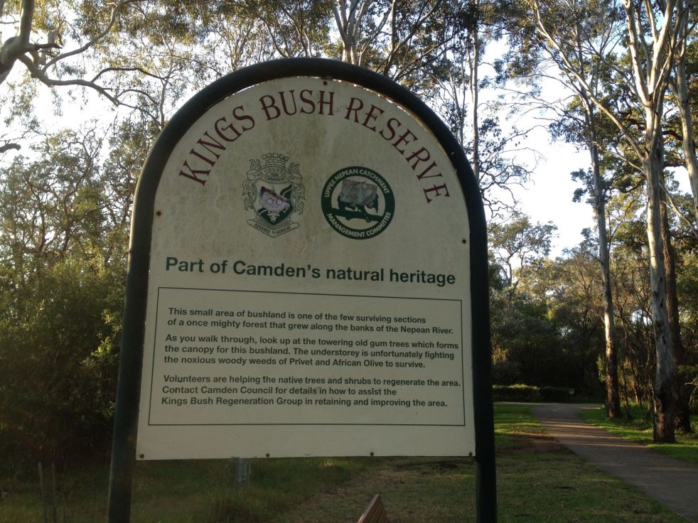
Kings Bush Reserve Camden
Kings Bush is a local Camden remnant of Cumberland Woodland and the Sydney Coastal River Flat Forest on the Nepean River floodplain adjacent to the town centre. The reserve is named after Rev CJ King who was the rector of St Johns Church for 35 years.
Share this:

Share this:
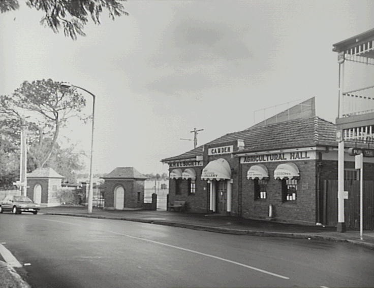
Aaron Bolot, a Sydney architect, and Camden’s Interwar heritage
Sydney architect Aaron Bolot designed the extension to the Camden agricultural hall. This building was one of many that were built in Camden during the Intewar period.
Share this:

Share this:
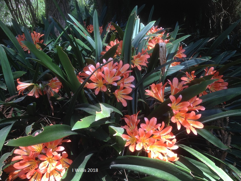
Gardens: a special place
The gardens of the Macarthur region are a special place for wellness and wellbeing. The provide a quiet and contemplative landscape for relaxation and thought.
Share this:

Share this:
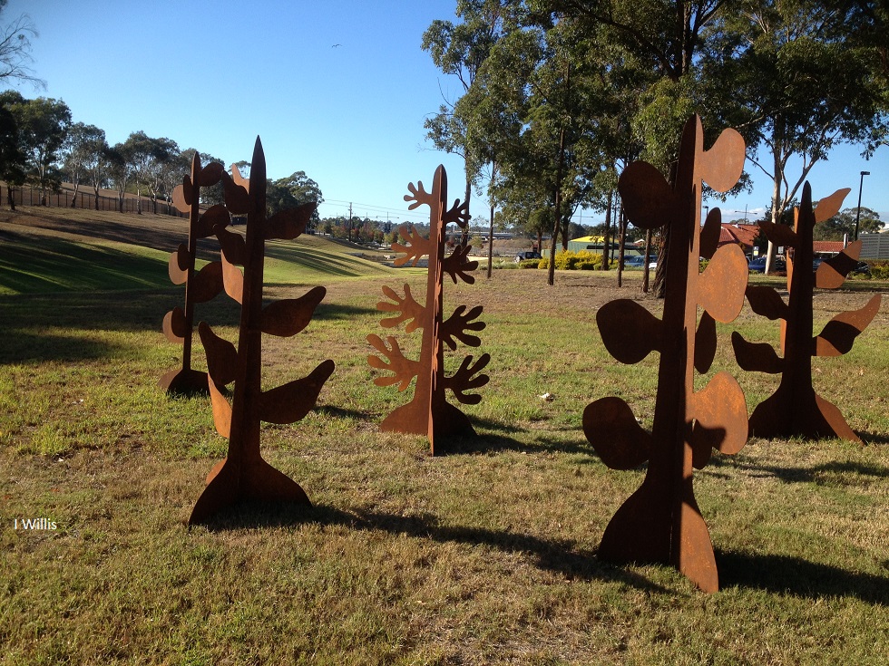
Public Art and Well-Being at Campbelltown Lakes
The 8th Western Sydney University Sculpture Award and Exhibition features 23 artworks globally, including Denese Oates' Xerophyte Forest, a steel representation of future plants. The beautiful lakeside setting enhances the sculptures' aesthetic, positively impacting community well-being. The exhibition runs from 4 May to 3 June 2018, attracting students and staff.

