
Camden, New South Wales, is recognized as the birthplace of Australian agriculture, boasting significant historical and contemporary agricultural sites. Despite rapid growth and new residents' limited awareness of its agricultural legacy, Camden remains a vital hub for agricultural research and education, blending rural lifestyle with community connections and open spaces.
Category: rural-urban fringe


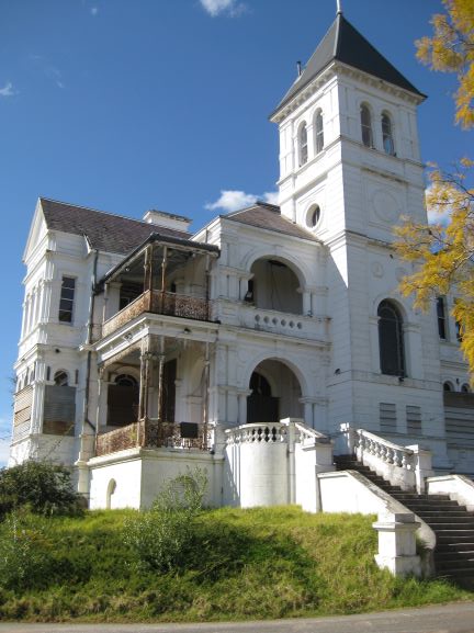
Airds Shopping Mall demolition, the unmet expectations of mid-century modernism
The Airds shopping mall's future encapsulates the decline of mid-century modernism in the midst of urban neglect. Once a symbol of optimism, the area's decay reflects broader global trends in retail. From failed Radburn principles to public housing challenges, the mall's history mirrors the clash of modernism and neoliberalism in Campbelltown. Despite the despair former residents report that they recall happy memories and stories of hope growing up in the area.
Share this:

Share this:

Yearning, Longing and The Remaking of Camden’s Identity: the myths and reality of ‘a country town idyll’.
This article discusses the concept of a "country town idyll" in Camden, an idealised version of a country town from an imagined past that uses history to construct imagery based on Camden's heritage buildings and other material fabrics. The paper delves into the origins of the idyll, examines its development, and investigates its validity in its contemporary context. It shows how its supporters have used history as a community asset to remake Camden's identity and explore how the 'country town idyll' has been used variously as a political weapon, a marketing tool, and a tourist promotion.
Share this:

Share this:
Explore Narellan’s History: Heritage Walking Tour and Historic Sites
The Narellan Heritage Walking Tour, curated by local photographers Kylie and Peter Lyons, provides a fascinating exploration of the historical and architectural legacy of Narellan. This tour offers insights into the original villages predating Camden's establishment in 1840, featuring notable sites like The Old St Thomas Chapel and the Narellan Public School.
Share this:

Share this:
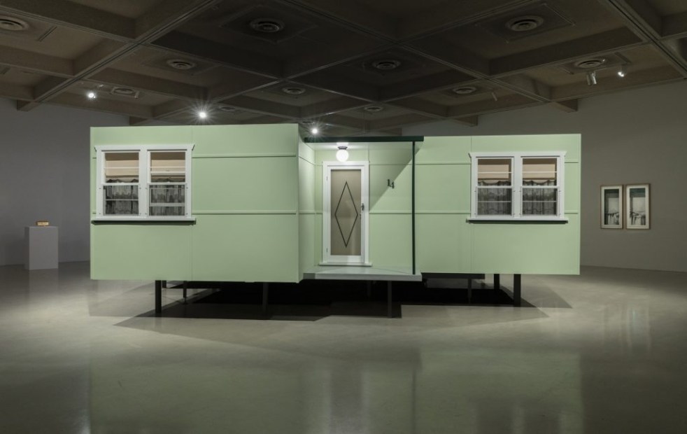
‘Fibro Majestic’: A Celebration of Mid-Century Housing at Campbelltown Arts Centre by Catherine O’Donnell
The "Fibro Majestic" exhibition at Campbelltown Arts Centre celebrates the historical significance of fibro housing in Australia, highlighting its role in post-war society. Artist Catherine O'Donnell's work reflects on the nostalgia, memories, and social contexts surrounding these humble structures, transforming perceptions of an architecture once deemed unattractive.
Share this:

Share this:
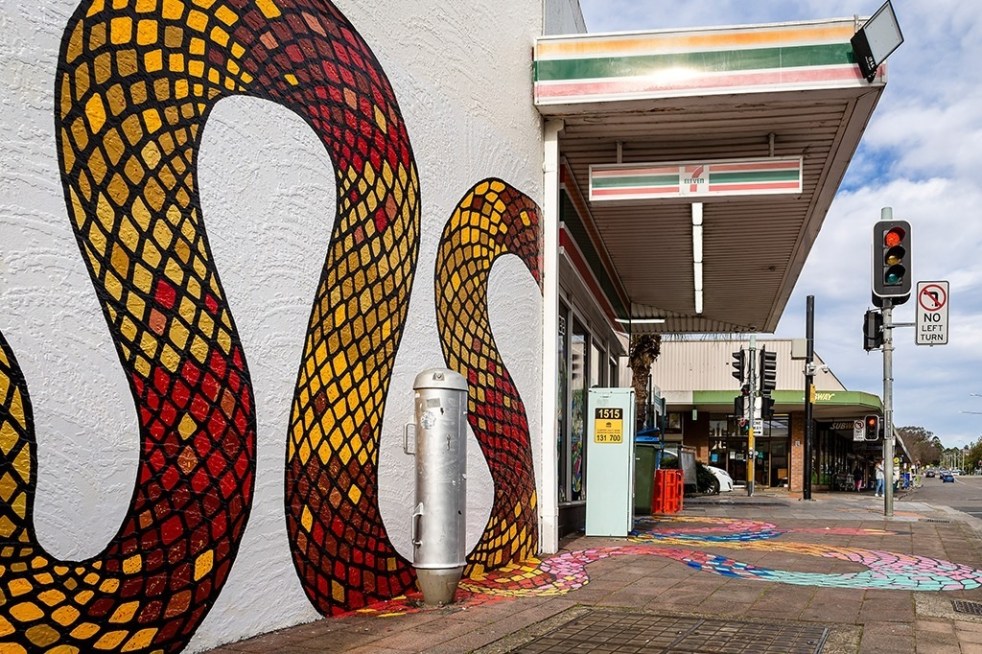
Public art at Campbelltown brightens up the Queen Street precinct
Public art is being used in the Campbelltown town centre to reinvigorate and revitalise the Queen Street precinct that has been subject to urban blight.
Share this:

Share this:
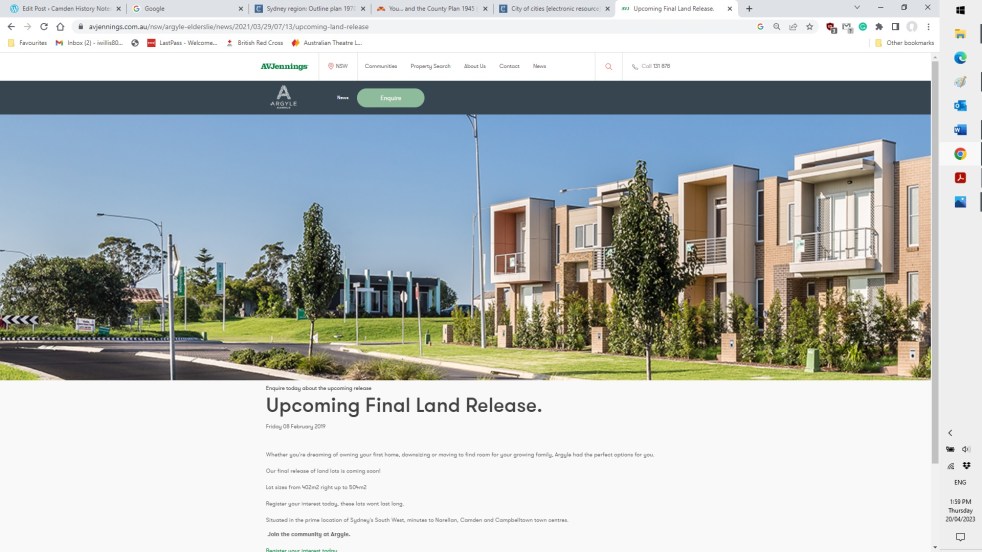
Elderslie land releases 2000-2023, the background and fancy estate names
The Elderslie area has been identified in Sydney’s strategic growth plans for land releases on the metropolitan rural-urban fringe. It is a valuable exercise to see how and when Elderslie was identified as part of Sydney’s planning framework.
Share this:

Share this:

The Camden district, 1840-1973, a field of dreams
The Camden district was historically significant, serving as a social and economic center for over a century. It integrated farming, mining, and community life, shaped by Aboriginal heritage and European settlement. However, modern developments and infrastructural changes led to its decline, transitioning to a regional identity tied to Macarthur area governance and branding.
Share this:

Share this:
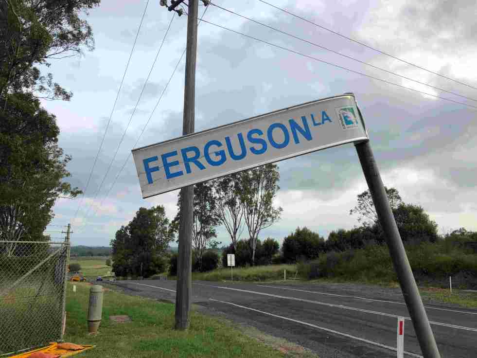
Ferguson’s Australian Nurseries on the urban fringe
The 20th-century story of Ferguson’s Australian Nurseries is about their location within Sydney’s rural-urban fringe.
Share this:

Share this:
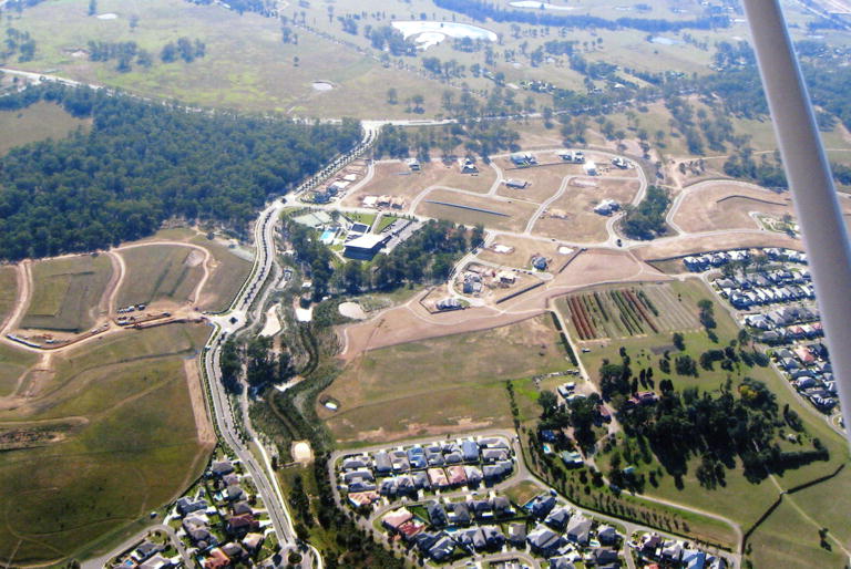
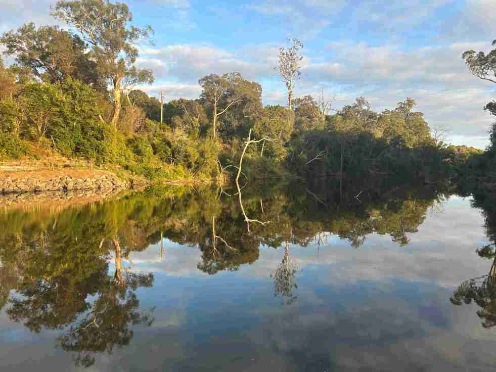
Sydney’s urban fringe: a transition zone of hope and loss
Sydney’s rural-urban fringe is a site of winners and losers. It is a landscape where dreams are fulfilled and memories are lost. The promises of land developers in master-planned suburban utopias meet the hope and expectations of newcomers.

