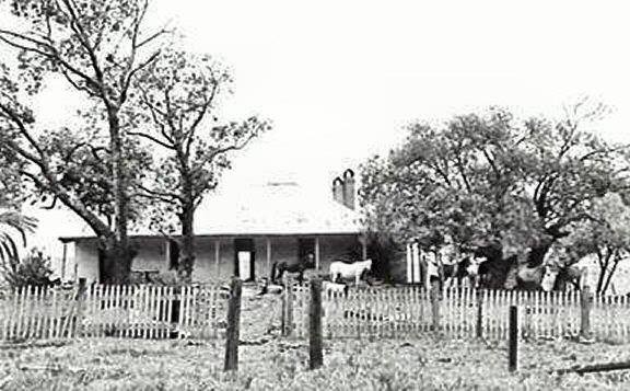
Beulah estate, Sydney's urban sprawl and the Appin Road
Month: November 2016

Lost Campbelltown heritage
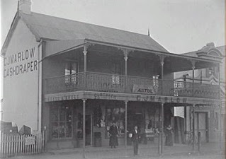
The lost built heritage of a country town on Sydney's urban fringe at Campbelltown
Some stories of place

Beulah estate, Sydney's urban sprawl and the Appin Road
The lost built heritage of a country town on Sydney's urban fringe at Campbelltown

