
The Elderslie area has been identified in Sydney’s strategic growth plans for land releases on the metropolitan rural-urban fringe. It is a valuable exercise to see how and when Elderslie was identified as part of Sydney’s planning framework.
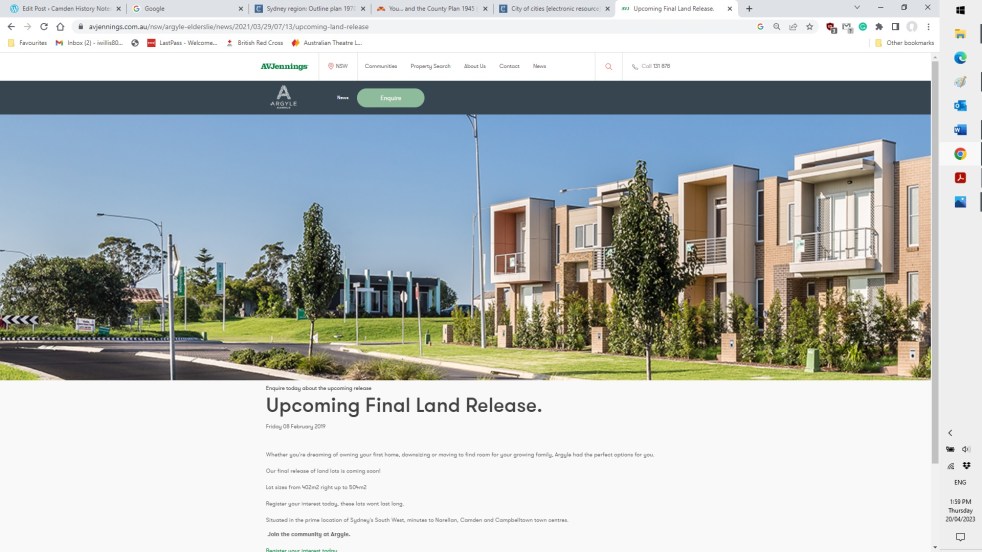
Category: Land releases

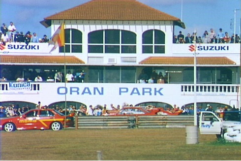
Oran Park Raceway: the finishing line as new horizons open up
Oran Park is a new suburb on Sydney's urban fringe on the site of the former Oran Park Raceway.
Share this:

Share this:
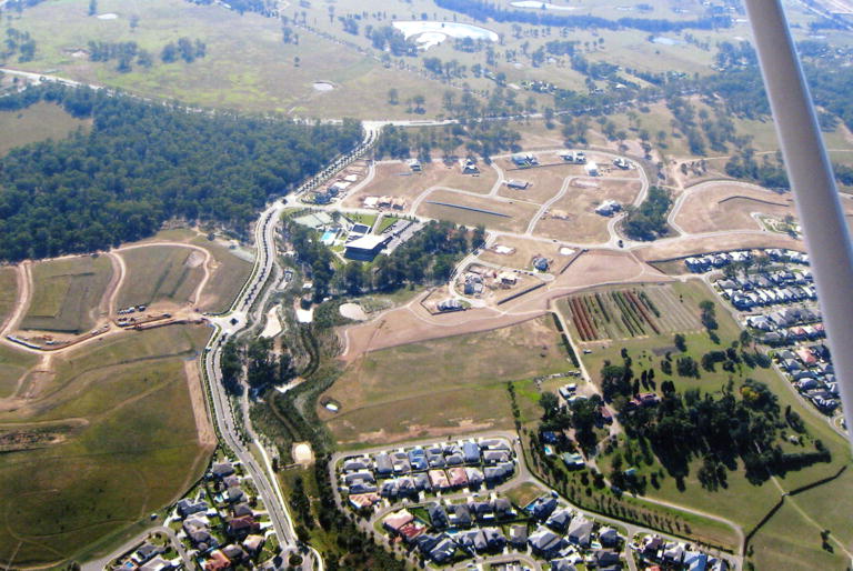
Sydney’s urban fringe: a transition zone of hope and loss
Sydney’s rural-urban fringe is a site of winners and losers. It is a landscape where dreams are fulfilled and memories are lost. The promises of land developers in master-planned suburban utopias meet the hope and expectations of newcomers.

