

The Camden Museum's dairy corner display chronicles the evolution of dairying in the Camden area from the 1890s to the 1970s, showcasing artifacts from smallholder and industrial farms, including Camden Vale. Once a vital economic sector, local dairy farming has greatly diminished, with only a few farms remaining. The collection highlights tools and equipment like butter churns and milk bottles, illustrating the historical significance of dairying in the region's economy and culture.
Category: Historical Research

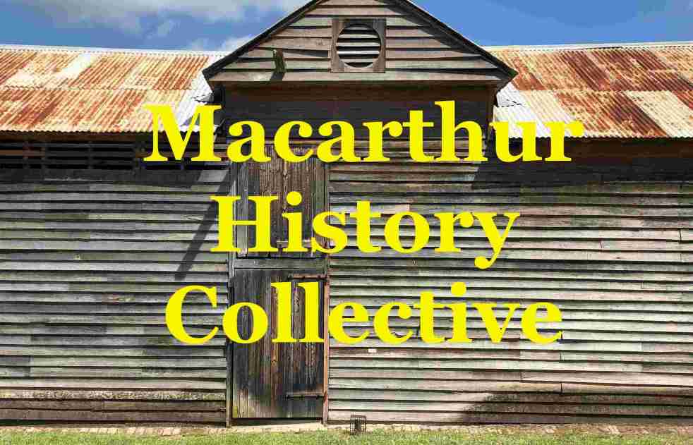
Strengthening Heritage Through Collaboration: Macarthur’s New Collective
The Macarthur History Collective, a loose informal alliance, formed by local history organisations, aims to foster collaboration among groups to preserve and promote regional heritage. Initiated after a successful meeting on July 19, 2026, its focus is to share resources, tackle common challenges, and engage younger audiences, enhancing community history efforts across the Macarthur region
Share this:

Share this:

The Role of Lists in Local History Writing
The content explores the role of data lists in local history writing, highlighting how they serve as essential research tools for historians. While lists provide foundational facts, they lack narrative context and depth. The post argues for using data lists to enhance storytelling about communities and emphasizes the importance of combining facts with personal stories for a richer historical understanding.
Share this:

Share this:

George Caley’s 1804 Report on the Vaccary Forest
George Caley (1770–1829) explored the Cowpastures in New South Wales and reported in 1804 on the thriving wild cattle there, suggesting the name "Vaccary Forest." Caley's knowledge of "vaccaries," common in medieval England, influenced his preference for this term over the existing one. He extensively documented his findings during his decade-long exploration in Australia.
Share this:

Share this:

The Role of Historians in an AI World
A Microsoft study suggests historians are among jobs most at risk from AI, particularly due to AI's ability to gather data. However, historians play a crucial role in interpretation, analysis, and narrative construction, capabilities AI lacks. Therefore, while AI may assist, it cannot replace historians, ensuring their continued relevance in understanding the past.
Share this:

Share this:

Discovering Australia’s Hidden Historical Sites
The local historical and cultural landscape in Australia is highly fragmented, lacking a central repository for information. Various apps, websites, and blogs exist but offer scattered data. Clio, a well-coordinated platform in the USA, exemplifies effective organization of local history, contrasting with Australia's disjointed efforts, which face funding challenges.
Share this:

Share this:

Exploring Community History: Benefits and Applications
Community history focuses on the stories and experiences of specific groups, emphasizing local and social history often overlooked in traditional research. It fosters empowerment, engages community members, preserves unique cultural heritage, and creates a deeper connection to place, ultimately enhancing social cohesion and supporting informed decision-making for future generations.
Share this:

Share this:

How History Shapes Our Present and Future
History enables us to comprehend the past and influences the future by revealing how past events shape current realities. It provides context, identifies patterns, and highlights cultural influences. Additionally, it inspires critical thinking, informs decision-making, and prompts social justice efforts, reinforcing that the future is shaped by choices made today.
Share this:

Share this:

Exploring Your Hometown: Hidden Gems Await
Exploring your hometown can reveal hidden wonders and local history often overlooked. Resources like libraries and historical societies offer insights into the past, while nature provides adventurous experiences. Engaging with local culture, festivals, and unique culinary offerings can enhance your appreciation of familiar surroundings. Stay curious and discover the extraordinary in the ordinary.
Share this:

Share this:
Understanding the Camden Story: History, Community, and Identity
The Camden story encapsulates the rich tapestry of tales and histories that define the Camden community, including dreamtime legends and settler accounts. It offers insight into the community's values, identity, and resilience, serving as both a historical narrative and a tool for local businesses, fostering deeper connections among residents.

