
Living history in southern Queensland in the regional centre of Toowoomba
Month: July 2019

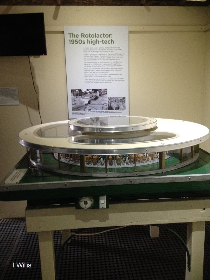
The Rotolactor, a Menangle milking marvel
The Rotolactor was Menangle's milking marvel. A rotating dairy that was a tourism attraction and an example of industrial modernism on the colonial property Camden Park estate.
Share this:

Share this:

The Camden story, an evolving project
The Camden story, a continually evolving project that details some of the parts of the local story.

