
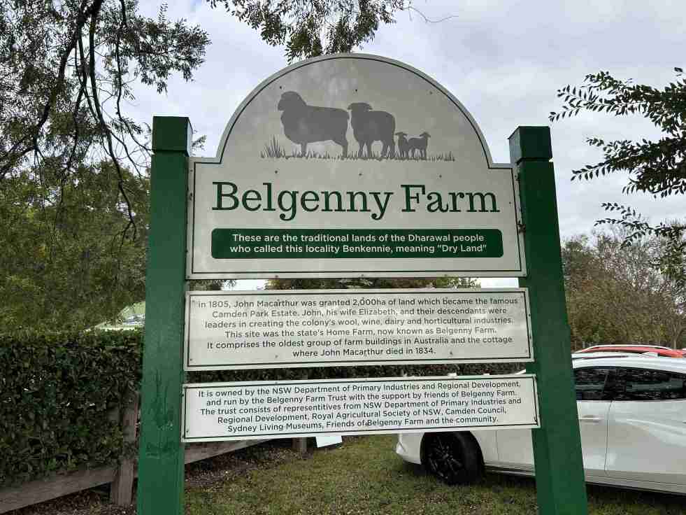
The Belgenny Farm Pioneer Farm Day successfully engaged visitors with Australia’s oldest farming complex, showcasing historical trades, games, and tours despite overcast weather. Families enjoyed activities like croquet and scavenger hunts, emphasizing the site's rich agricultural history and cultural significance. The event highlighted community involvement and fostered appreciation for heritage.
Category: Macarthur

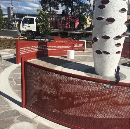
Narellan Town Centre Revitalization: a community-centric approach through placemaking
The redevelopment of Narellan Town Centre in 2017 enhanced its community space through placemaking, incorporating public art and amenities. Valued at $200 million, the extension nearly doubled its size, accommodating 100+ retailers and encouraging social interactions. The design reflects local history, fostering cultural identity and community engagement, achieving successful early usage by families.
Share this:

Share this:
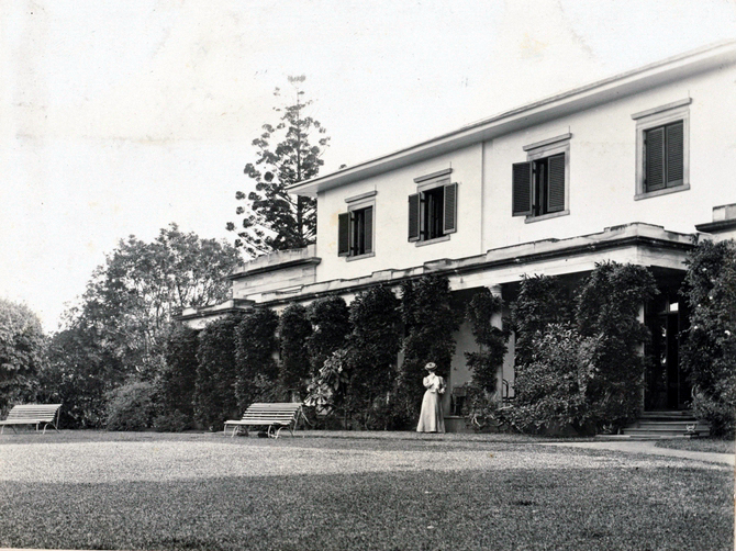
Privacy, piety and power at Camden Park: 1905 Vickery-Ellis marriage
In mid-1905, a private wedding took place at Camden Park between 82-year-old Ebenezer Vickery and 52-year-old Deborah Louise Ellis, a teacher and charity worker. Despite gossip in The Bulletin magazine, which wrongfully described Ellis's age and referred to her as Vickery's 'typewriter,' the wedding was attended by notable figureheads. Vickery, known for his wealth and philanthropy, held positions in various corporations and was involved in mining ventures. Ellis, active in philanthropic circles, played a role in social issues. Their marriage highlighted a complex interplay of privacy, power, and community, reflecting societal attitudes of the era.
Share this:

Share this:

Historian writes about McWings: storytelling as effective marketing.
The McDonald's McWings campaign creatively utilizes historians as storytellers to establish authenticity and emotional connections with consumers. By intertwining historical references and narratives, McDonald's aims to engage audiences while reinforcing its marketing strategy, showcasing its historical impact on the food industry and its cultural significance in regions like Macarthur.
Share this:

Share this:
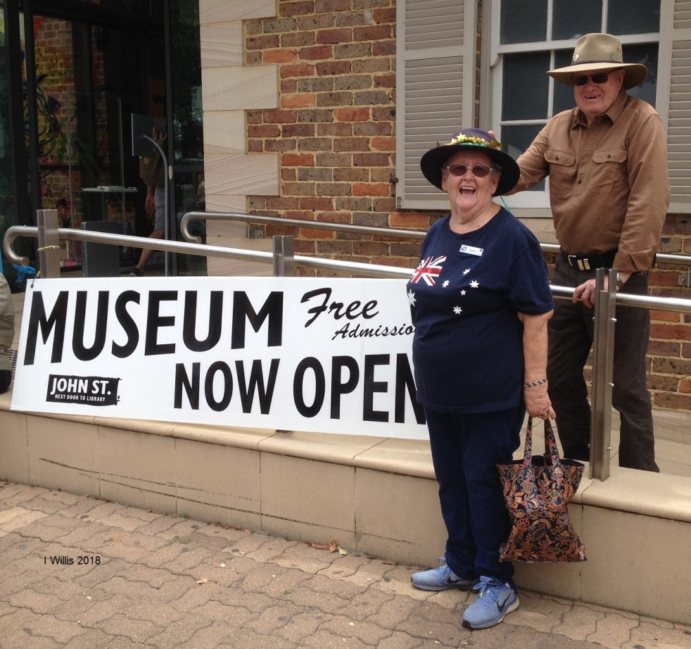
Explore History with Friends of Belgenny Farm Events
On a cloudy day in late May 2025, the Friends of Belgenny Farm held an open day attracting over 285 visitors interested in early Australian history. The event featured various stalls, historical displays, and guided tours of the historic site, which holds national significance and showcases Australia's earliest colonial farm buildings.
Share this:

Share this:
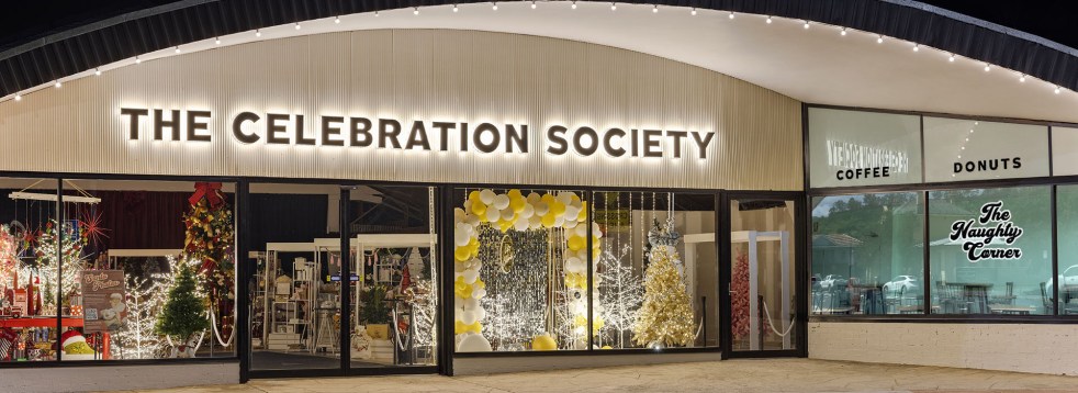
The Celebration Society: Revitalizing Picton’s Retail Scene Through Adaptive Re-use
The Celebration Society opened in 2024 in the former Corbett hardware store, revitalizing Picton's retail scene. Owners Deborah and Michael Quinn, along with business partners, preserved the building’s historic integrity. The venue includes a café and space for events, enhancing community engagement and contributing to the area's renewal.
Share this:

Share this:
Understanding the Camden Story: History, Community, and Identity
The Camden story encapsulates the rich tapestry of tales and histories that define the Camden community, including dreamtime legends and settler accounts. It offers insight into the community's values, identity, and resilience, serving as both a historical narrative and a tool for local businesses, fostering deeper connections among residents.
Share this:

Share this:
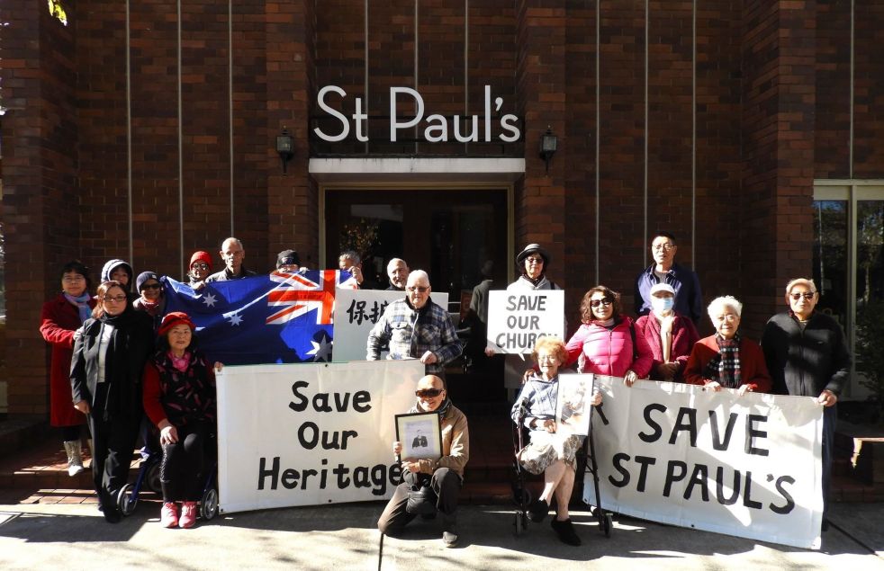
Why does the sale of a local church create community angst? What is going on?
The sale of church land has sparked community angst, particularly at St. Paul's Anglican Church in Bankstown. The proposed heritage listing has led to concerns about redevelopment and closure. Similar issues have arisen in Tasmania, where the sale of local churches has evoked strong emotional and historical attachments. The opposing views between churchgoers and non-churchgoers present an unresolved ethical dilemma.
Share this:

Share this:
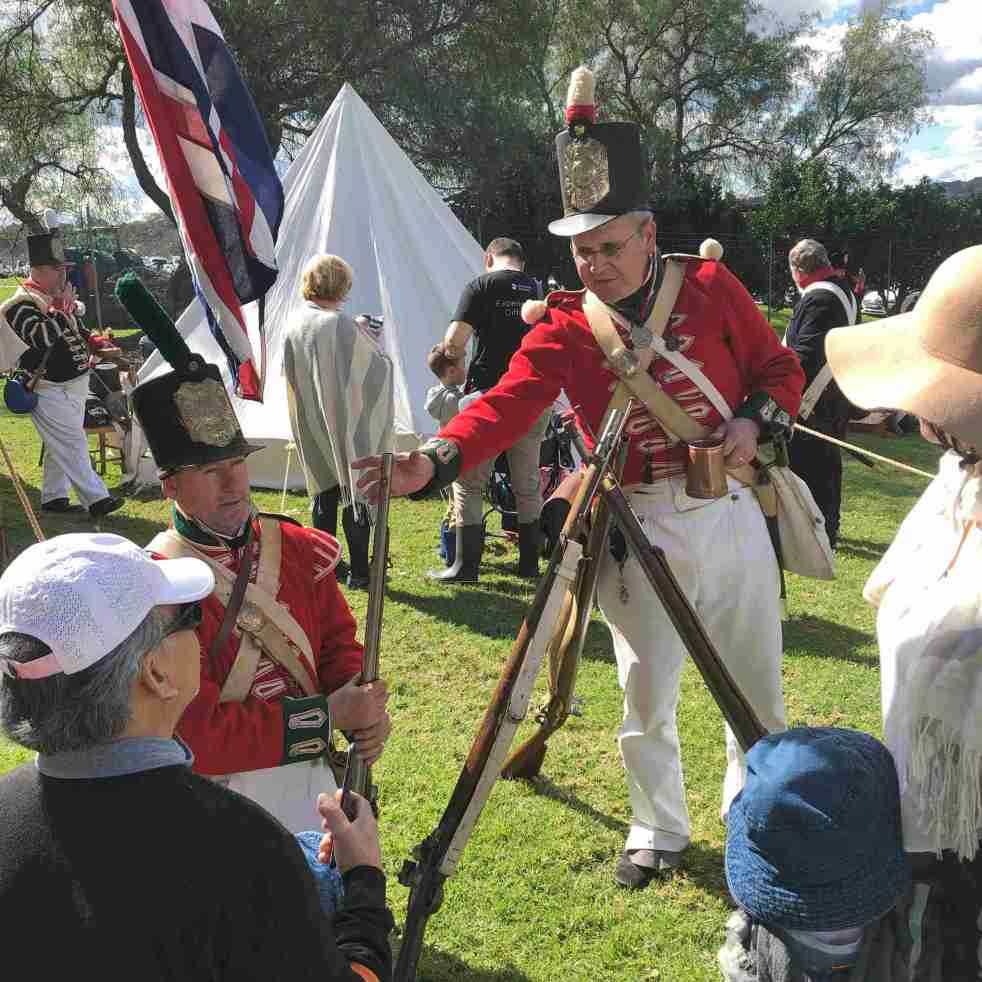
Back to Belgenny 2024, a festival of living history
The 2024 Back to Belgenny festival at Belgenny Farm in South Camden showcased living history with reenactments, traditional trades, and stalls selling arts and crafts of the past. Activities included sheepdog trials, live music, vintage cars, and guided history tours of the site. The farm represents the settler society through the generations of the Macarthur family and their workers.
Share this:

Share this:
Australia Day 1915 in Camden: Record-breaking Wartime Fundraiser
In mid-1915, the Camden Patriotic Fund took over fundraising for the first Australia Day appeal directing proceeds to the Red Cross for Australian wounded. The patriotic fund raised a substantial amount of money through various events. Meanwhile, on a national scale, the significance of the first Australia Day evolved from an idea initiated by Mrs. Elle Warton-Kirke of Manly NSW to an important Red Cross day. In Camden, the 1915 Australia Day activities were a significant wartime fundraiser, demonstrating the community's support for the war effort.
