
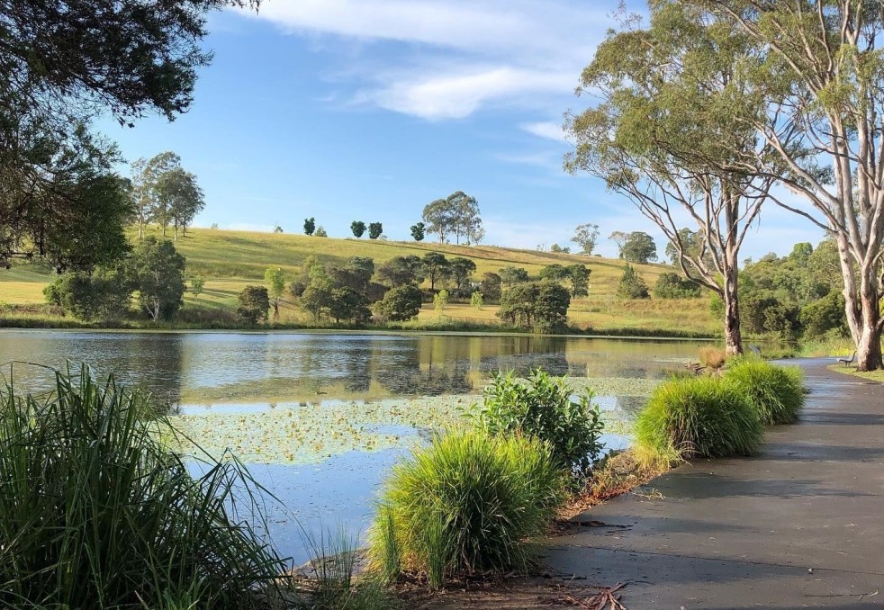
Western Sydney is a complex, diverse region with numerous communities, recognized by various government levels for planning and investment. Historically significant, it faces socio-economic disparities highlighted by the "Latte Line" and "Red Rooster Line." Recent developments, including the Western Sydney International airport, aim to enhance its identity and economic growth, fostering a sense of place.
Category: Sydney’s rural-urban fringe

Narellan Town Centre Revitalization: a community-centric approach through placemaking
The redevelopment of Narellan Town Centre in 2017 enhanced its community space through placemaking, incorporating public art and amenities. Valued at $200 million, the extension nearly doubled its size, accommodating 100+ retailers and encouraging social interactions. The design reflects local history, fostering cultural identity and community engagement, achieving successful early usage by families.
Share this:

Share this:
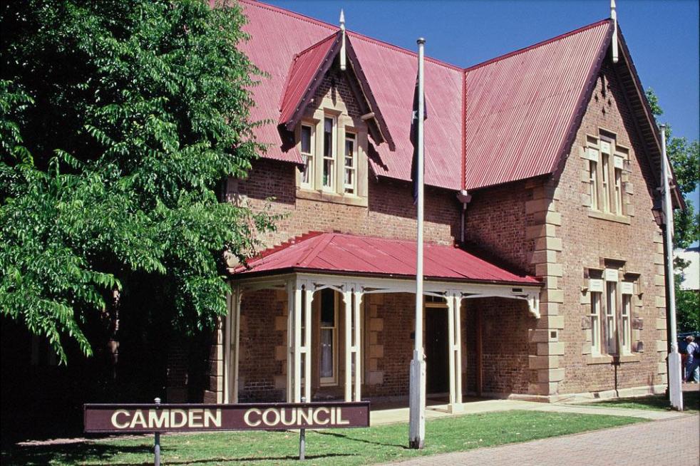
Understanding the Camden Story: History, Community, and Identity
The Camden story encapsulates the rich tapestry of tales and histories that define the Camden community, including dreamtime legends and settler accounts. It offers insight into the community's values, identity, and resilience, serving as both a historical narrative and a tool for local businesses, fostering deeper connections among residents.
Share this:

Share this:

Yearning, Longing and The Remaking of Camden’s Identity: the myths and reality of ‘a country town idyll’.
This article discusses the concept of a "country town idyll" in Camden, an idealised version of a country town from an imagined past that uses history to construct imagery based on Camden's heritage buildings and other material fabrics. The paper delves into the origins of the idyll, examines its development, and investigates its validity in its contemporary context. It shows how its supporters have used history as a community asset to remake Camden's identity and explore how the 'country town idyll' has been used variously as a political weapon, a marketing tool, and a tourist promotion.
Share this:

Share this:
Explore Narellan’s History: Heritage Walking Tour and Historic Sites
The Narellan Heritage Walking Tour, curated by local photographers Kylie and Peter Lyons, provides a fascinating exploration of the historical and architectural legacy of Narellan. This tour offers insights into the original villages predating Camden's establishment in 1840, featuring notable sites like The Old St Thomas Chapel and the Narellan Public School.
Share this:

Share this:
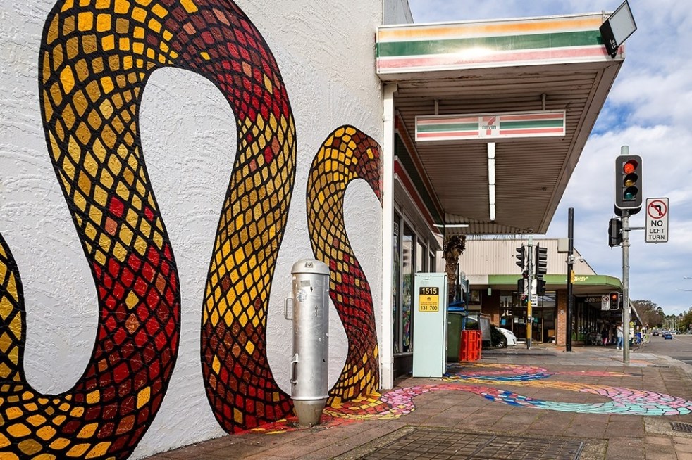
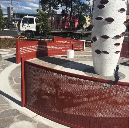
Public art at Campbelltown brightens up the Queen Street precinct
Public art is being used in the Campbelltown town centre to reinvigorate and revitalise the Queen Street precinct that has been subject to urban blight.
Share this:

Share this:

Camden, a Macarthur family venture
The establishment of Camden, New South Wales, the town in 1840, was a private venture of James and William Macarthur, sons of colonial patriarch John Macarthur, at the Nepean River crossing on the northern edge of the family’s pastoral property of Camden Park. The town’s site was enclosed on three sides by a sweeping bend in the Nepean River and has regularly flooded the surrounding farmland and lower parts of the town.
Share this:

Share this:
Making Camden History
Making Camden History tells the story of how the history of the Camden District has been written from the 19th century. It is the history of the history of the local area.
Share this:

Share this:
Ferguson’s Nursery, the post-war years
During the post-war years, Ferguson's Nurseries continued to be located on Sydney’s urban fringe as the metropolitan area expanded into the rural surrounds.
Share this:

Share this:
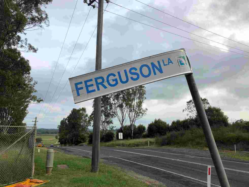
Ferguson’s Australian Nurseries on the urban fringe
The 20th-century story of Ferguson’s Australian Nurseries is about their location within Sydney’s rural-urban fringe.

