
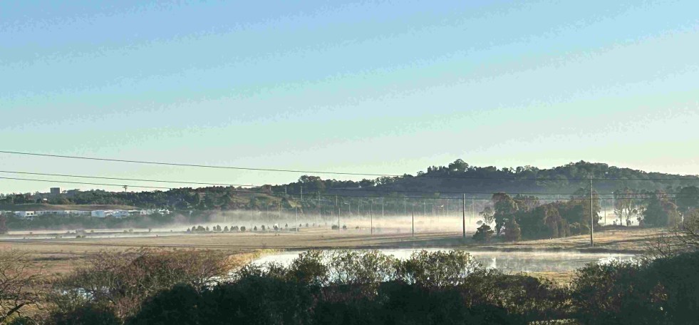
Herberts Hill, also known as Rheinbergers Hill, offers scenic pathways for walkers and joggers, revealing stunning views over the Nepean River floodplain. Historically significant, the site is linked to early English settlers, particularly Thomas Herbert, whose life reflects the colonial narrative of New South Wales. The hill provides important cultural insight and recreational opportunities.
Tag: Settler colonialism

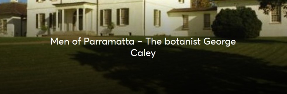
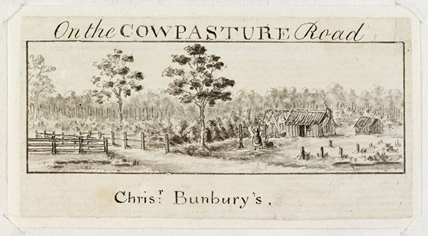
George Caley’s 1804 Report on the Vaccary Forest
George Caley (1770–1829) explored the Cowpastures in New South Wales and reported in 1804 on the thriving wild cattle there, suggesting the name "Vaccary Forest." Caley's knowledge of "vaccaries," common in medieval England, influenced his preference for this term over the existing one. He extensively documented his findings during his decade-long exploration in Australia.
Share this:

Share this:
The Cowpastures’ English-styled-gentry and their private villages
A certain type of self-styled-English gentry created a landscape in their own vision in the Cowpastures.
Share this:

Share this:

Camden Heritage Conservation Area – an English-style village in the Cowpastures
The Macarthur private village of Camden was located in the English style countryside of the Cowpastures countryside with its gentry estates and villages. Founded in 1840 it was all part the British imperial imperative and the settler colonial project that came with it.
Share this:

Share this:
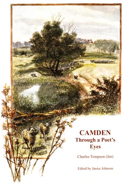
Charles Tompson, a colonial diarist of the Cowpastures
A colonial diarist of the Cowpastures, Charles Tompson.
Share this:

Share this:
St John’s Church, a contested sacred site in the historic landscape of the Cowpastures
A contested sacred site in the historic landscape of the Cowpastures. St John's Church wants to sell a former horse paddock to fund a new worship centre against community opposition.
Share this:

Share this:
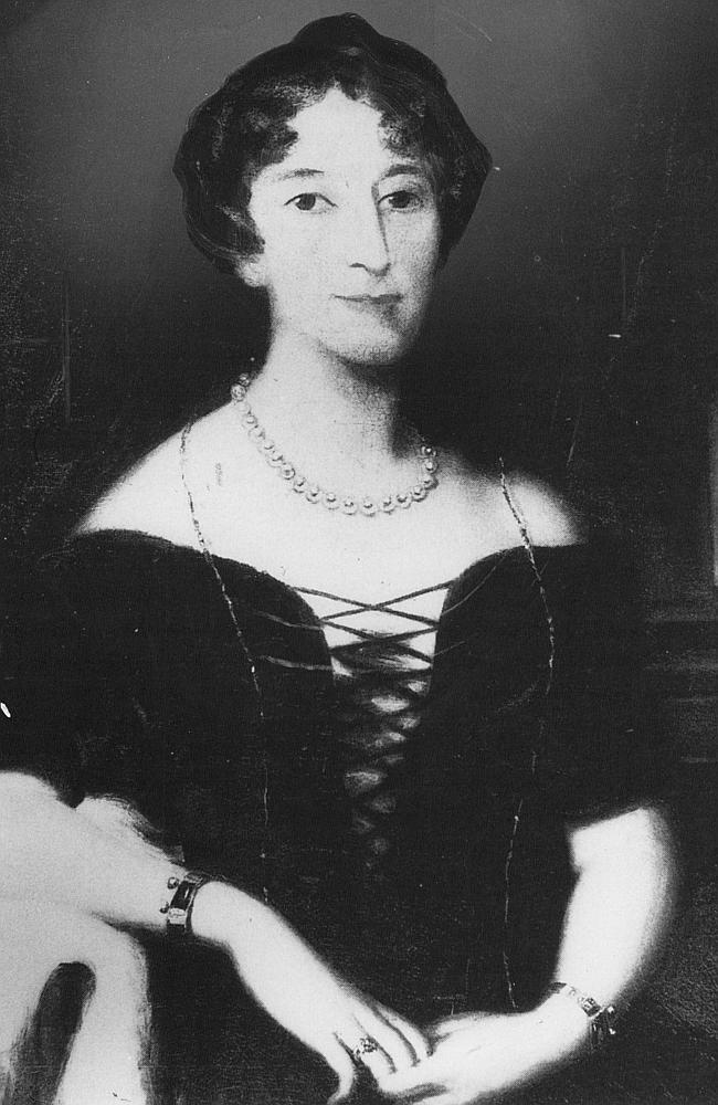
Celebrity author at Camden Museum
Author Michelle Scott Tucker recently spoke at the Camden Museum about her new book Elizabeth Macarthur A Life at the Edge of the World
Share this:

Share this:
The Cowpastures Project
The Cowpastures was one of the earliest sites of European settlement in Australia
Share this:

Share this:
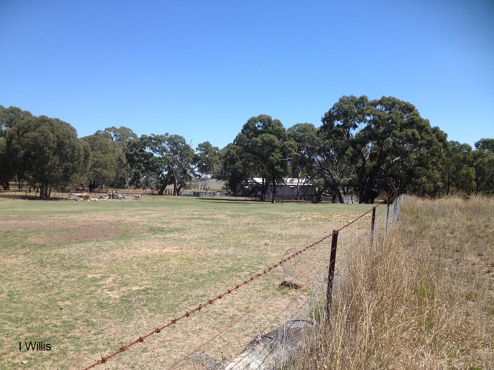
Mummel and a Cowpastures Oligarch
Mummel NSW is an important land grant at Goulburn Plains in colonial NSW and a part of the story of a settler society.
Share this:

Share this:
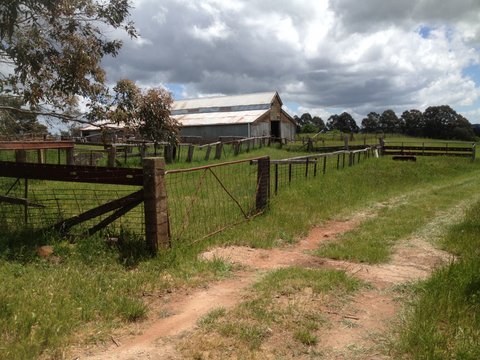
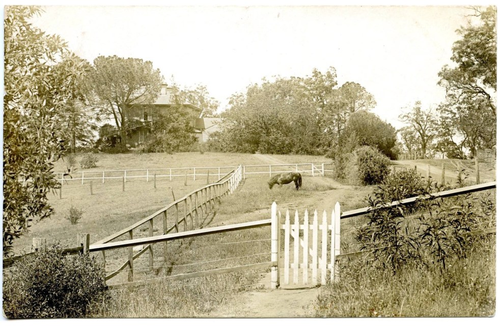
Richlands, an outpost of a colonial farming empire
The Richlands estate, north of Goulburn in the NSW Southern Tablelands, was an important part of the Macarthur family pastoral empire for nearly 100 years. The Richlands estate acted as an outstation about one days ride west of Camden Park estate.

