
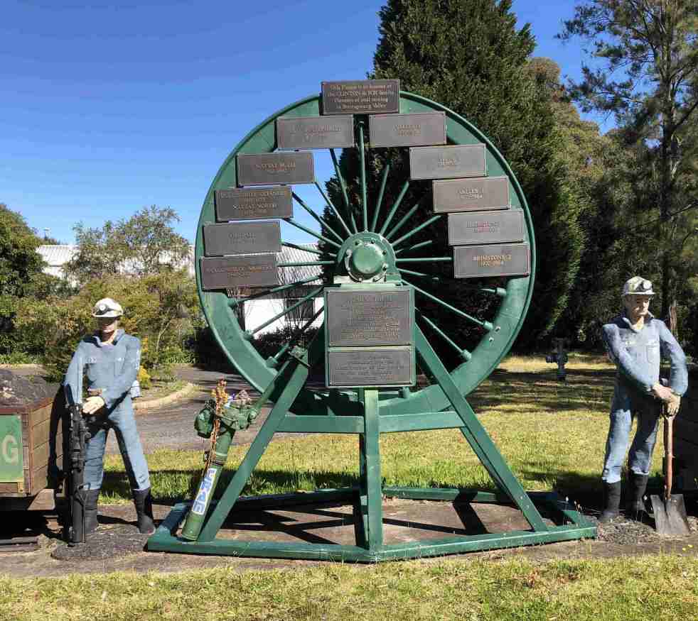
The Burragorang Valley's coal mining history spans from the early 1800s to the closure of the last operational mine in 2000. The community relied on coal for jobs, but the inevitable end affected the region. International mining companies became involved, and the introduction of electricity transformed mining processes. Many mines opened and closed throughout the years, leaving a rich and complex history documented in various sources.
Category: Coal mining

Types of Mid-Century Modernist Housing in Camden
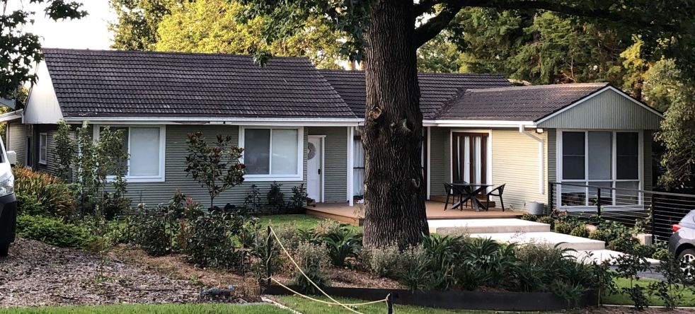
This blog post discusses the types mid-century houses of the Camden NSW area that were built as part of the economic growth and development created by the Burragorang coalfields. These houses were built between the Second World War and the early 1970s, have a variety of residential architectural styles are located south of the town centre, in Elderslie and at Narellan.
Share this:

Share this:

Camden, a Macarthur family venture
The establishment of Camden, New South Wales, the town in 1840, was a private venture of James and William Macarthur, sons of colonial patriarch John Macarthur, at the Nepean River crossing on the northern edge of the family’s pastoral property of Camden Park. The town’s site was enclosed on three sides by a sweeping bend in the Nepean River and has regularly flooded the surrounding farmland and lower parts of the town.
Share this:

Share this:

Camden Rotary Pioneer Mural: public art, a mural, a memorial wall and a wishing well
The Camden Pioneer Mural, located near Camden Hospital, serves as a significant piece of public art reflecting the community's history and identity. Conceived by the Camden Rotary Club, it honors local pioneers and agricultural heritage through ceramic tiles. The mural has become a local tourist attraction, symbolizing community pride and cultural narrative.
Share this:

Share this:
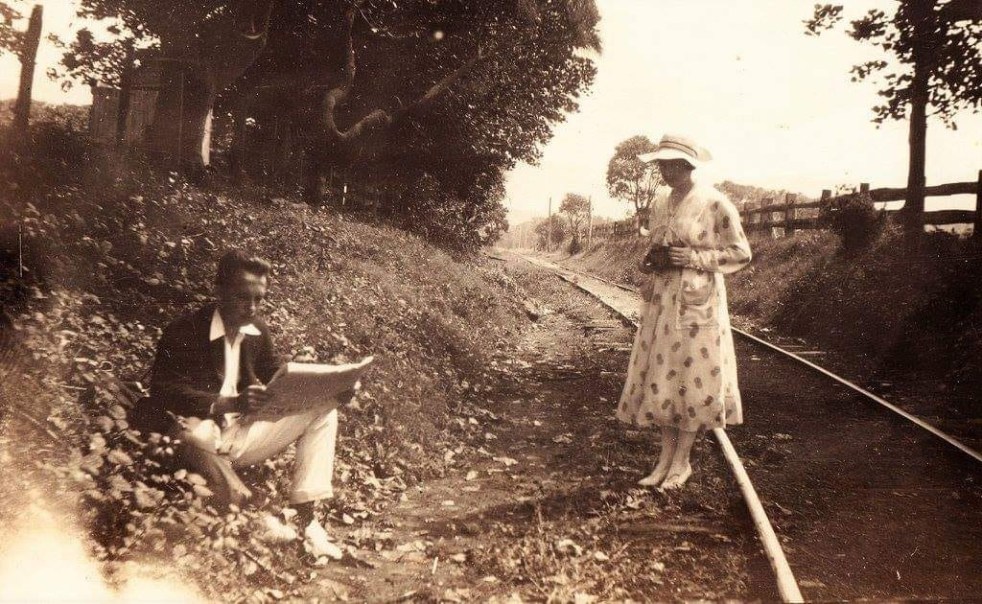
The mysteries of a photograph
How the mysteries of a pretty picture from yesteryear allows you to peel back the layers of the past. Each layer has a meaning and a story that is told by the historian. The stories provide context for the photograph and give it greater meaning.
Share this:

Share this:
The Camden Fibro Cottage and its connection to mid-century housing styles
The Camden fibro cottage symbolizes the mid-20th century's affordable housing solution, catering to the working class in a post-war Australia. Representing nostalgia and simplicity, these homes were practical yet modern. Although their popularity declined due to issues like poor insulation and asbestos risks, they remain a significant aspect of Camden's architectural heritage.

