
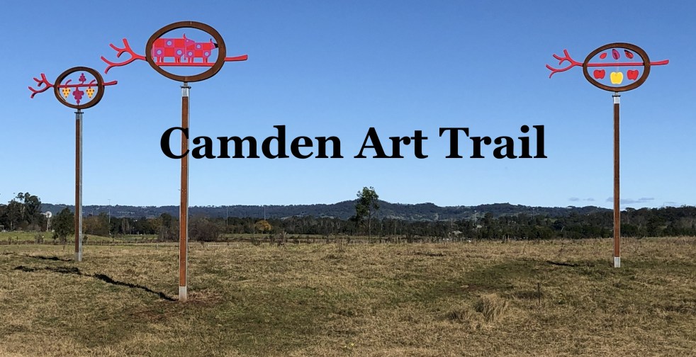
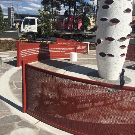
The Camden Public Art Trail, officially opened in June 2024, connects the Nepean River to Camden Town Farm and features stunning artwork installations across a 4.2-kilometer walkway. Funded by the NSW Government, the trail celebrates local heritage and ecology while providing an accessible outdoor experience for visitors, though dogs are not permitted.
Category: Tourism

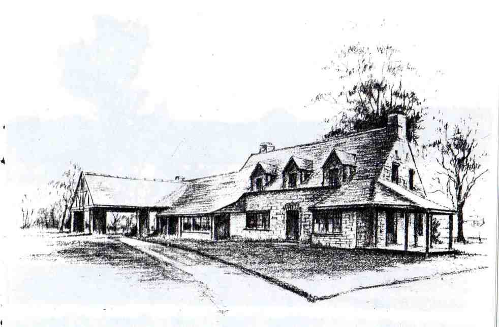
Camden’s Unique Interwar Tudor Revival Milk Bar
The Camden Vale Inn Milk Bar, opened in 1939, was created to promote disease-free milk from Camden Park Estate during a period of health awareness. Designed in an 'Old English' style by architect Cyril Ruwald, it featured drive-through service and supported the Red Cross during WWII. It later evolved into a restaurant and hotel.
Share this:

Share this:
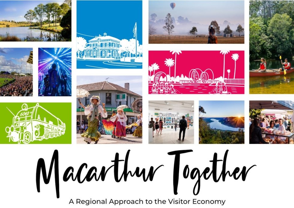
Exploring Opportunities for Macarthur’s Visitor Economy
The 'Macarthur Together' forum brought together tourism operators, businesses, and local government to collaborate on promoting the Macarthur region. Held at the Australian Botanic Garden Mount Annan, the event focused on enhancing visitor experiences through cooperation, showcasing local authenticity, and leveraging social media. The potential impact of Western Sydney International Airport on tourism was also discussed.
Share this:

Share this:

Jet into the Weekend with Western Sydney International (Nancy-Bird Walton) Airport
Western Sydney International Airport offers a gateway to diverse weekend getaways, from local adventures to international travel. Its design integrates natural elements, reflecting Australian culture and providing a calming atmosphere. With 24/7 operations and various airline partnerships, it simplifies travel, encouraging exploration of the surrounding regions and unique experiences.
Share this:

Share this:
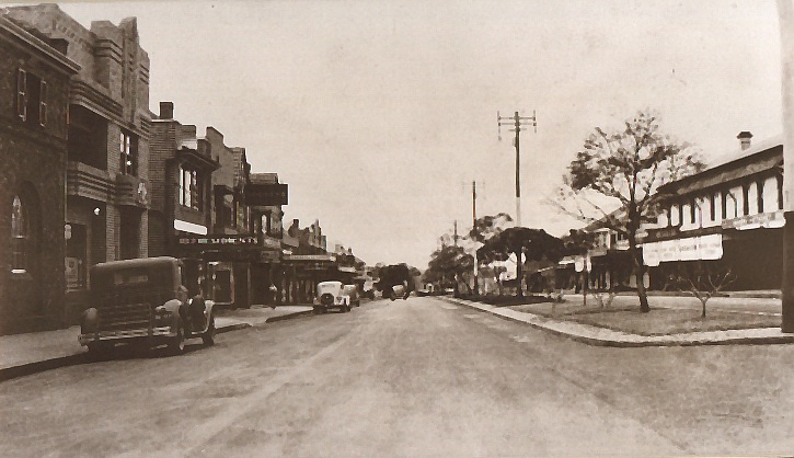
Is Camden a Village? Unpacking History and Marketing
The 'Camden Village' marketing strategy leverages nostalgia and historical authenticity to promote its charm as a getaway near Sydney. It celebrates Camden's heritage, exploring themes of community and continuity, while questioning the true nature of its village identity. This strategy taps into sentimental longings for simpler times, appealing emotionally to potential visitors.
Share this:

Share this:
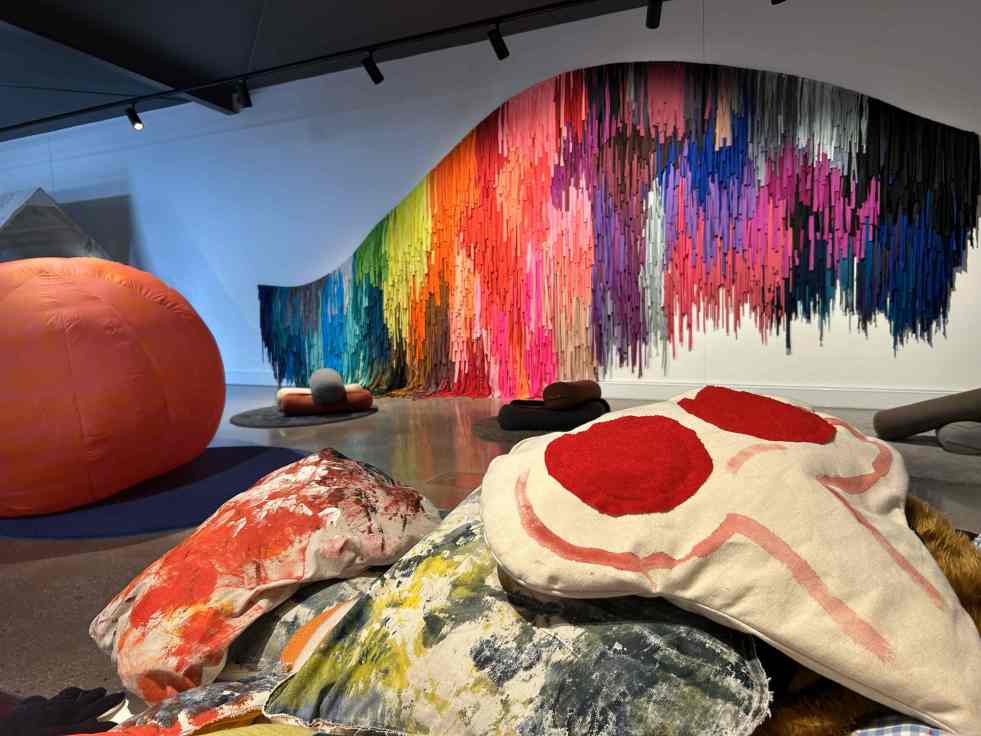
Uncover Artistic Gems in Regional and Suburban Australia
Across regional and suburban Australia, hidden art galleries offer vibrant cultural experiences often overlooked by tourists. These venues provide platforms for local artists and unique exhibitions, showcasing the rich artistic landscape of the country. Visiting these spaces fosters community connection and enriches local economies through art and tourism.
Share this:

Share this:
Exploring the Complexities of Western Sydney’s Identity
Western Sydney is a complex, diverse region with numerous communities, recognized by various government levels for planning and investment. Historically significant, it faces socio-economic disparities highlighted by the "Latte Line" and "Red Rooster Line." Recent developments, including the Western Sydney International airport, aim to enhance its identity and economic growth, fostering a sense of place.
Share this:

Share this:
Narellan Town Centre Revitalization: a community-centric approach through placemaking
The redevelopment of Narellan Town Centre in 2017 enhanced its community space through placemaking, incorporating public art and amenities. Valued at $200 million, the extension nearly doubled its size, accommodating 100+ retailers and encouraging social interactions. The design reflects local history, fostering cultural identity and community engagement, achieving successful early usage by families.
Share this:

Share this:
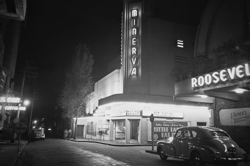
Sydney’s Cultural Identity: A City of Contradictions
Sydney presents a striking contrast between its stunning harbour and perceived lack of cultural depth. Critics argue the city is a "cultural wasteland," with isolated artistic venues and a fragmented entertainment scene, unlike the vibrant precincts found in Melbourne, London and New York. Sydney's cultural identity partly emerges from its diverse tribes and subcultures that are found in the depths of the suburbs.
Share this:

Share this:
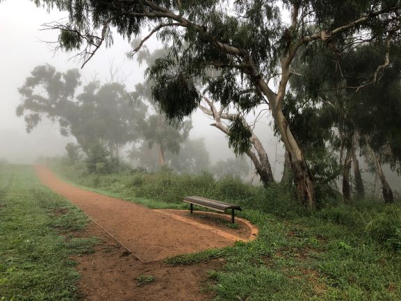
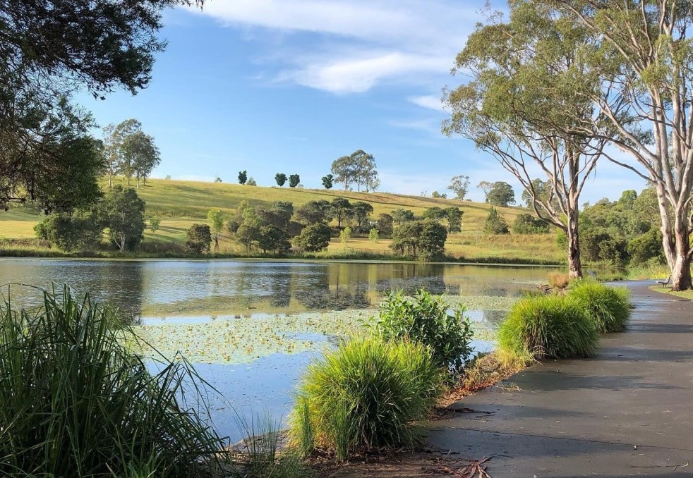
Top Walking Trails in Camden: Experience Walking the Cowpastures
Camden township, located in the historical Cow Pastures, features walking and cycling paths that reflect its Indigenous and colonial history. The Nepean River Trail, integrating various public artworks, enhances the area's historic character, while memorial walkways pay tribute to Australian service members. It's a site for both recreation and cultural immersion.

