
A certain type of self-styled-English gentry created a landscape in their own vision in the Cowpastures.
Tag: Colonialism


Cowpastures memorial, Oran Park
The story of the Cowpastures can be told in many ways including through public art. At Oran Park an art installation of a herd of bronze cows is one approach to storytelling.
Share this:

Share this:
Traditional trades, the legacy of Camden’s carpenters
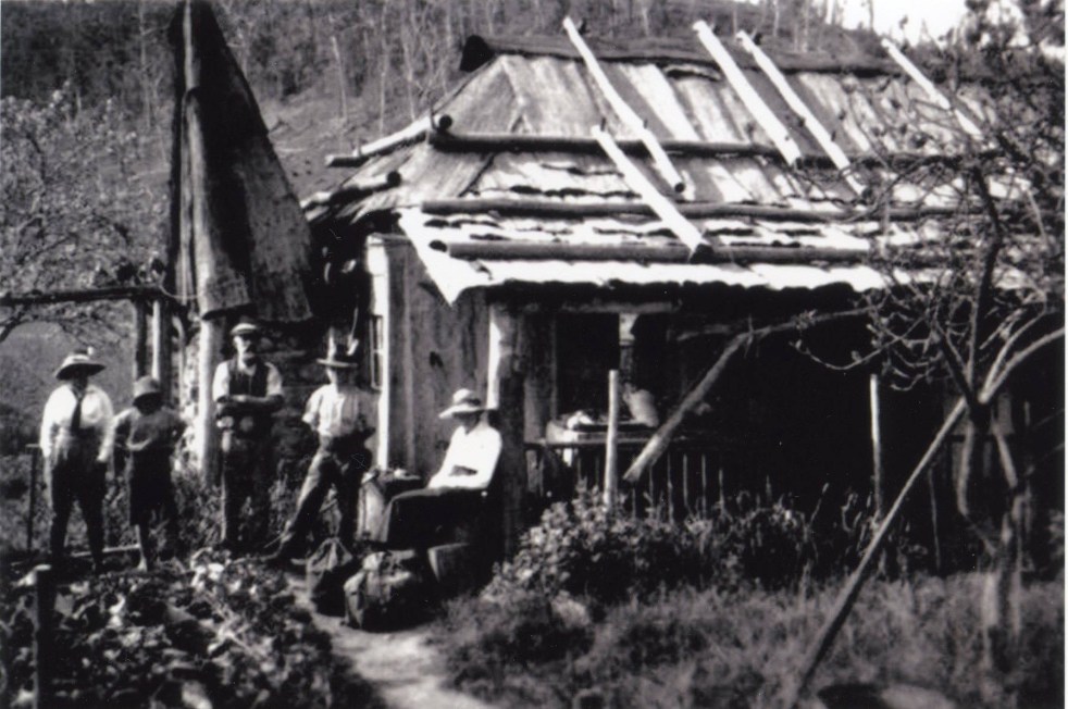
Carpentry, vital in Camden for centuries, began with Aboriginal bush carpentry using local materials for survival. European settlers adopted this craft, creating simple structures and relying on ingenuity. Formal carpentry evolved with guilds and apprenticeships, maintaining traditional techniques and tools, shaping Camden's architectural landscape with lasting quality.
Share this:

Share this:

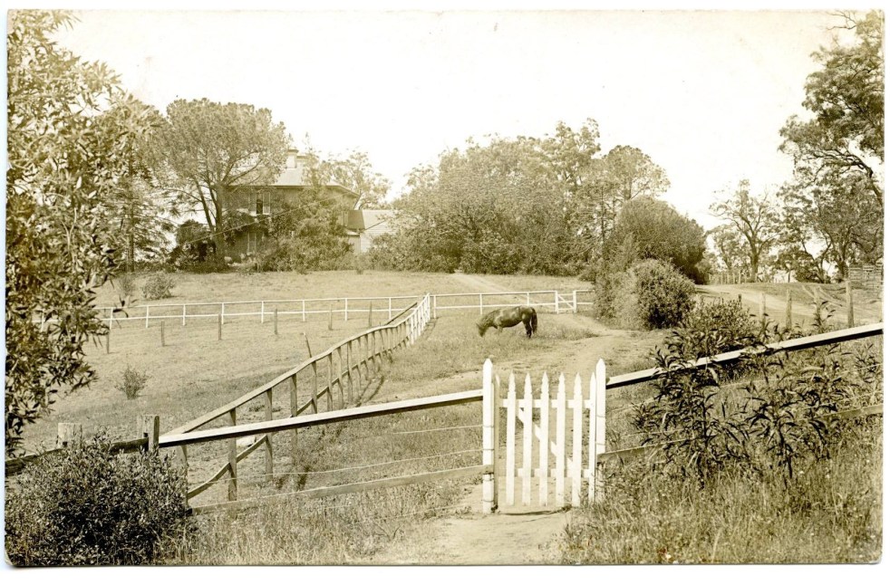
Camden Heritage Conservation Area – an English-style village in the Cowpastures
The Macarthur private village of Camden was located in the English style countryside of the Cowpastures countryside with its gentry estates and villages. Founded in 1840 it was all part the British imperial imperative and the settler colonial project that came with it.
Share this:

Share this:
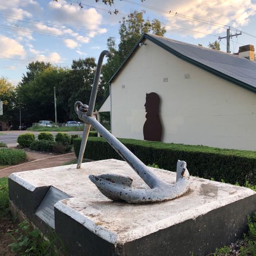
John Oxley’s anchor lost for 34 years
New evidence has emerged challenging previous conclusions about the John Oxley Memorial anchor in Camden. The anchor, a memorial from the British naval authorities, was lost for 34 years before being relocated for public access. John Oxley, an important colonial figure, has multiple commemorations in New South Wales related to his historical significance.
Share this:

Share this:
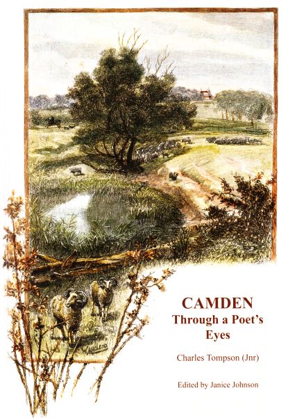
Charles Tompson, a colonial diarist of the Cowpastures
A colonial diarist of the Cowpastures, Charles Tompson.
Share this:

Share this:
St John’s Church, a contested sacred site in the historic landscape of the Cowpastures
A contested sacred site in the historic landscape of the Cowpastures. St John's Church wants to sell a former horse paddock to fund a new worship centre against community opposition.
Share this:

Share this:
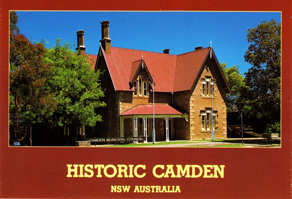
What is Camden’s heritage, does it really matter and what does it mean?
What is Camden’s heritage, does it really matter and what does in mean?
Share this:

Share this:
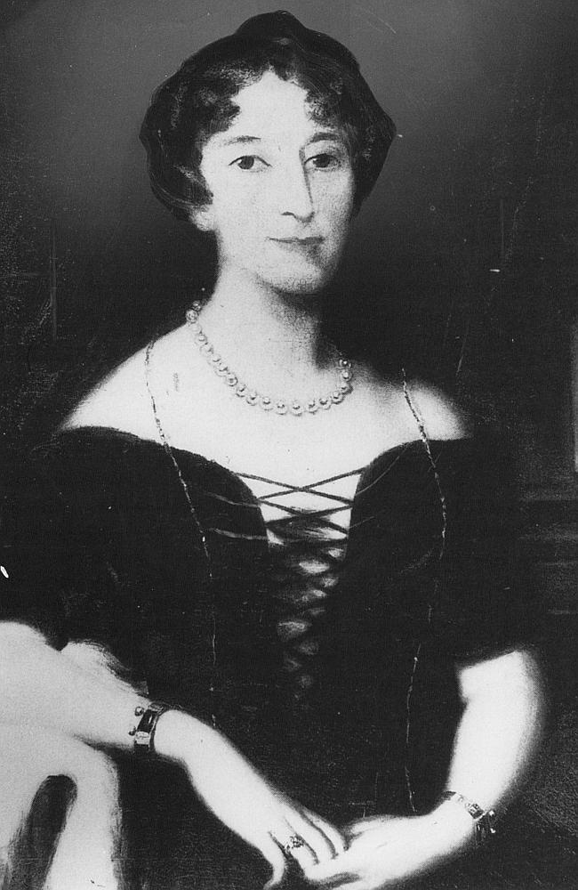
Celebrity author at Camden Museum
Author Michelle Scott Tucker recently spoke at the Camden Museum about her new book Elizabeth Macarthur A Life at the Edge of the World
Share this:

Share this:
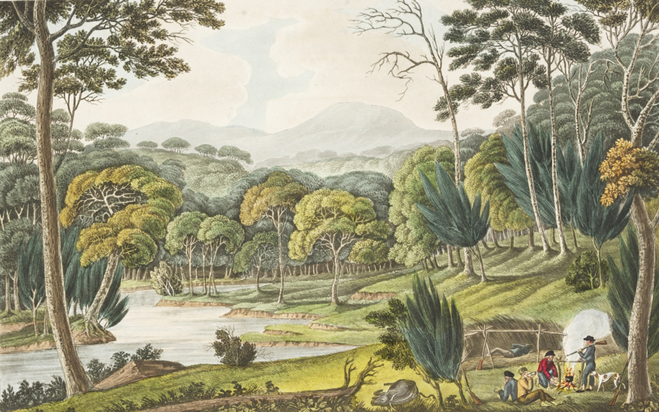
Exploring the Cowpastures region: the early history of a settler society
The Cowpastures region, named by Governor Hunter in 1795, reflects a culturally constructed landscape stemming from the 18th century. Originating with wild cattle from the First Fleet, it evolved into a significant colonial area intersecting Indigenous history. The region's identity waned by the late 19th century but is celebrated today for its historical legacy.

