
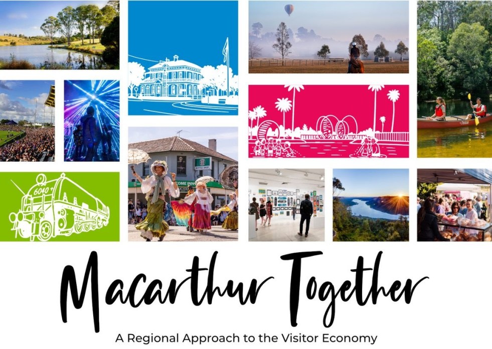
The 'Macarthur Together' forum brought together tourism operators, businesses, and local government to collaborate on promoting the Macarthur region. Held at the Australian Botanic Garden Mount Annan, the event focused on enhancing visitor experiences through cooperation, showcasing local authenticity, and leveraging social media. The potential impact of Western Sydney International Airport on tourism was also discussed.
Tag: Campbelltown

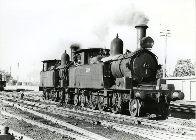
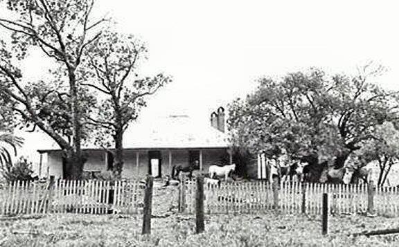
Exploring Camden’s Railway Heritage: Pansy and Its Timeless Stories
The Camden branch line, with its famous locomotive Pansy, holds a special place in the memories of locals and visitors. Operating from 1882 to 1963, it served as a lifeline for the community, transporting goods, passengers, and even wartime heroes. Despite its eventual closure, remnants of the line can still be seen today.
Share this:

Share this:
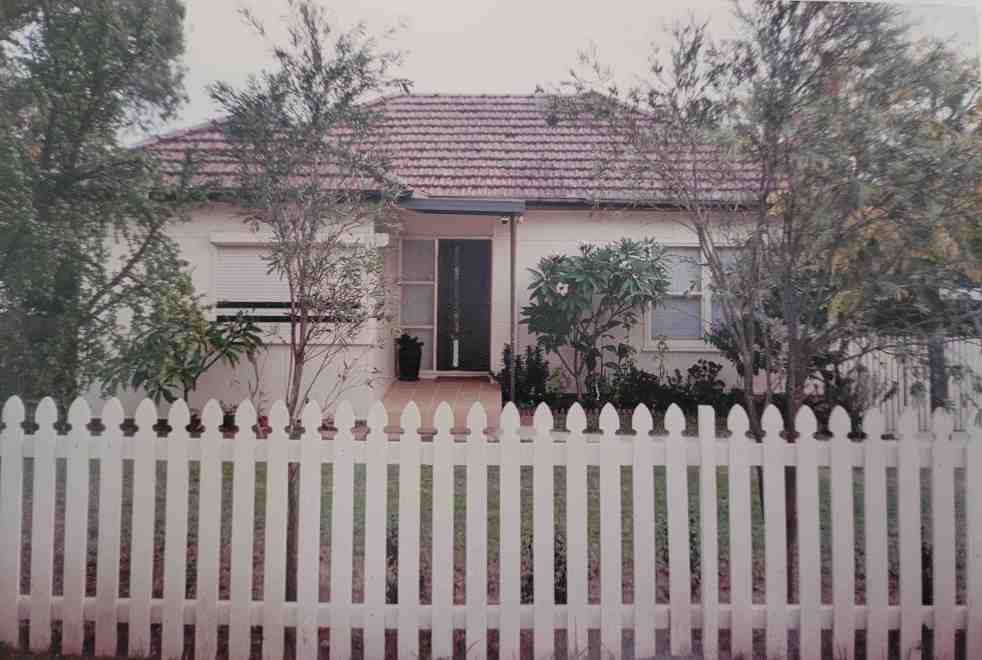
Despina’s story, fond memories of living in Campbelltown
A former resident of Campbelltown, Despina Maddalena, has recalled her time living in Campbelltown in the early 2000s. She has fond memories and is quick to defend the city from stereotypes and misinformation.
Share this:

Share this:
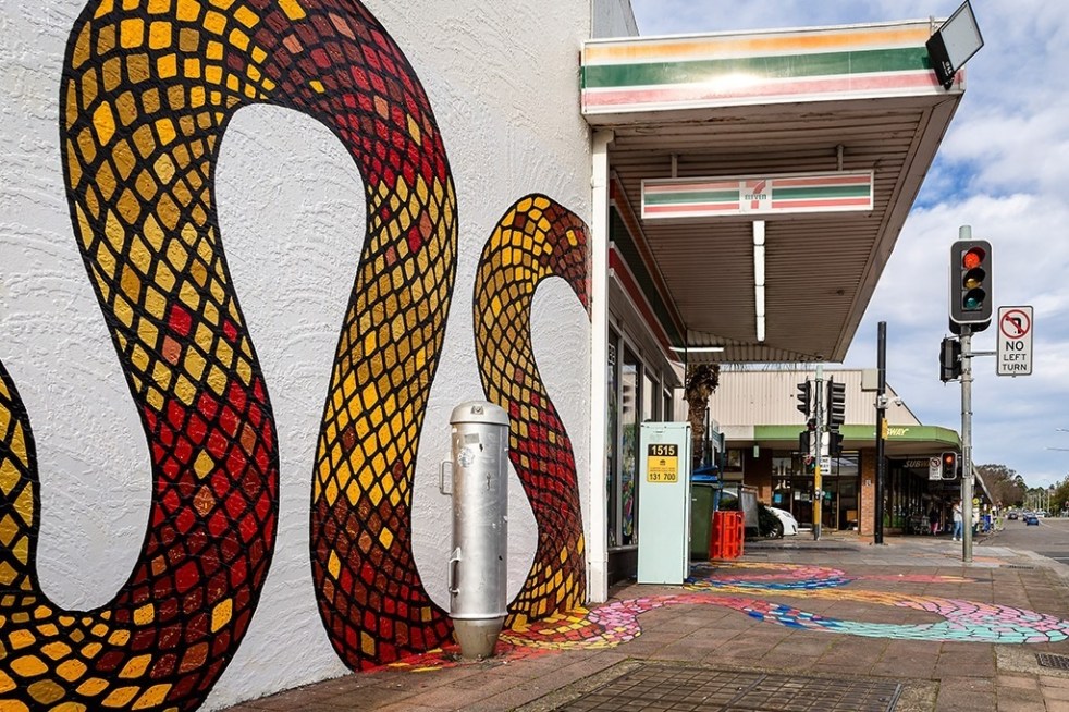
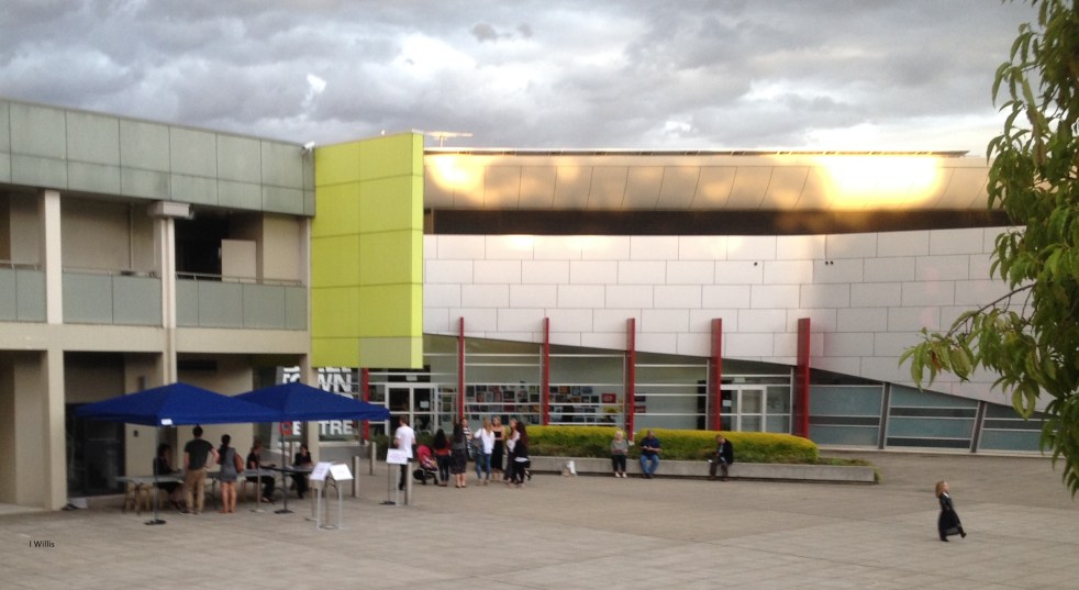
Public art at Campbelltown brightens up the Queen Street precinct
Public art is being used in the Campbelltown town centre to reinvigorate and revitalise the Queen Street precinct that has been subject to urban blight.
Share this:

Share this:

Campbelltown City Council office extension 1982 – an example of mid-century modernism
In 1982 Campbelltown City Council had the official opening for the brutalist administration building. Combined with the adjacent 1964 modernist office building they are an outstanding example of mid-century modernism in the Macarthur region
Share this:

Share this:
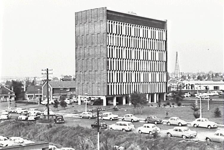
Exploring Campbelltown’s Mid-Century Modern Administration Building
The Campbelltown Council office building, completed in 1964, serves as an unrecognized icon of mid-century modernism, symbolizing the town's optimistic vision as a satellite city. Despite its structural significance and initial hopes for community development, later planning challenges undermined this vision, leaving the building's legacy complex and often overlooked.
Share this:

Share this:
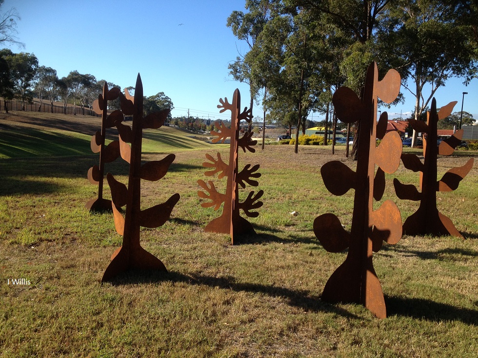
Public Art and Well-Being at Campbelltown Lakes
The 8th Western Sydney University Sculpture Award and Exhibition features 23 artworks globally, including Denese Oates' Xerophyte Forest, a steel representation of future plants. The beautiful lakeside setting enhances the sculptures' aesthetic, positively impacting community well-being. The exhibition runs from 4 May to 3 June 2018, attracting students and staff.
Share this:

Share this:
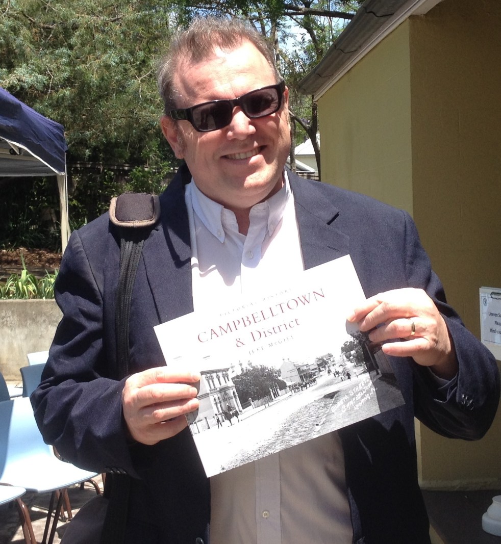
Jeff McGill’s Pictorial History Campbelltown and District
Local historian and photographer Jeff McGill takes a fresh look at the history of Campbelltown in a new book
Share this:

Share this:
2017 Fisher’s Ghost Art Award
The Fishers Ghost Art Award has been an important cultural event in Campbelltown for over 50 years.
Share this:

Share this:
Beulah and Sydney’s Urban Sprawl
Beulah estate, Sydney's urban sprawl and the Appin Road

