
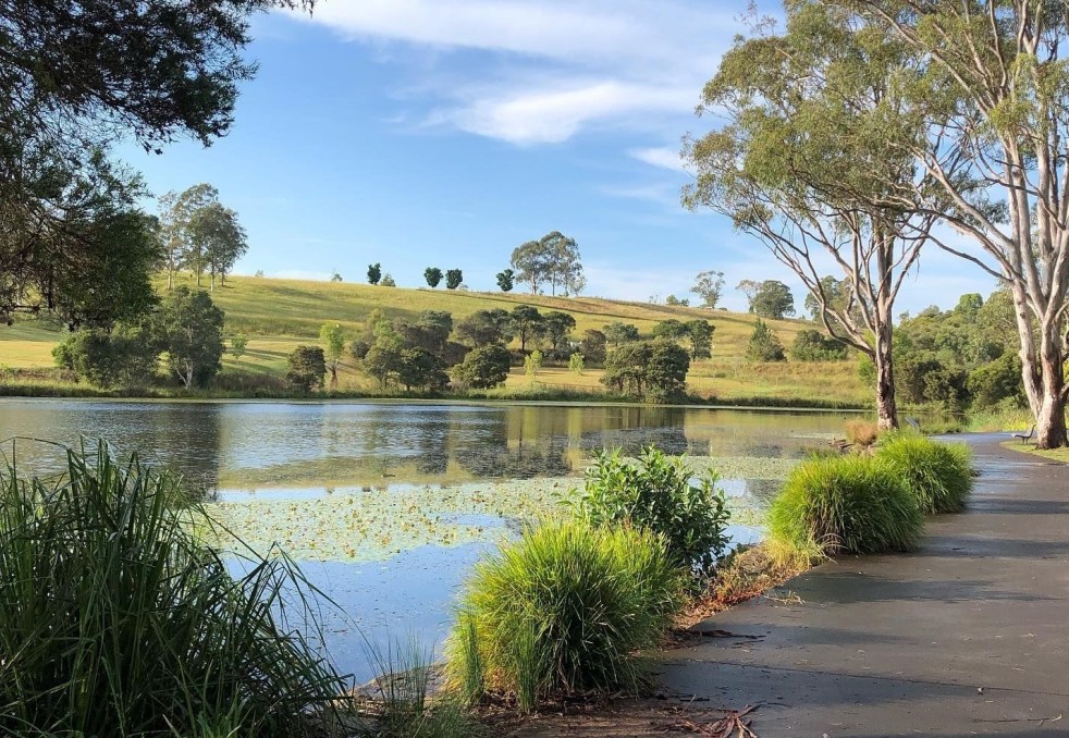
Western Sydney is a complex, diverse region with numerous communities, recognized by various government levels for planning and investment. Historically significant, it faces socio-economic disparities highlighted by the "Latte Line" and "Red Rooster Line." Recent developments, including the Western Sydney International airport, aim to enhance its identity and economic growth, fostering a sense of place.
Category: Sydney

Sydney’s Cultural Identity: A City of Contradictions
Sydney presents a striking contrast between its stunning harbour and perceived lack of cultural depth. Critics argue the city is a "cultural wasteland," with isolated artistic venues and a fragmented entertainment scene, unlike the vibrant precincts found in Melbourne, London and New York. Sydney's cultural identity partly emerges from its diverse tribes and subcultures that are found in the depths of the suburbs.
Share this:

Share this:

Airds Shopping Mall demolition, the unmet expectations of mid-century modernism
The Airds shopping mall's future encapsulates the decline of mid-century modernism in the midst of urban neglect. Once a symbol of optimism, the area's decay reflects broader global trends in retail. From failed Radburn principles to public housing challenges, the mall's history mirrors the clash of modernism and neoliberalism in Campbelltown. Despite the despair former residents report that they recall happy memories and stories of hope growing up in the area.
Share this:

Share this:
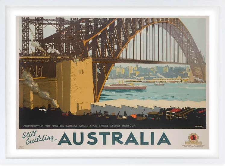
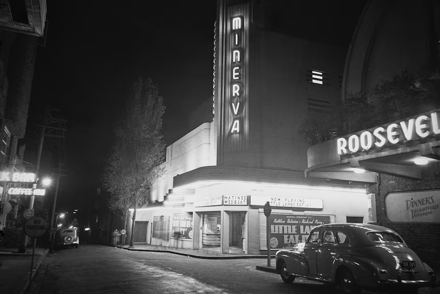
The Sydney Harbour Bridge, an engineering marvel
The Sydney Harbour Bridge is an icon on the Sydney urban landscape. The bridge is an engineering marvel of modernism and the early 20th hope of a new nation.
Share this:

Share this:
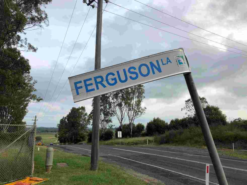
Ferguson’s Australian Nurseries on the urban fringe
The 20th-century story of Ferguson’s Australian Nurseries is about their location within Sydney’s rural-urban fringe.
Share this:

Share this:
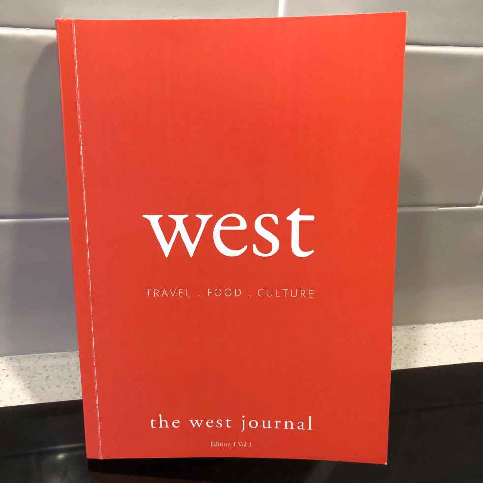
The West Journal
A new lifestyle magazine, The West Journal, has appeared in the local area and makes an interesting addition to the media landscape.
Share this:

Share this:
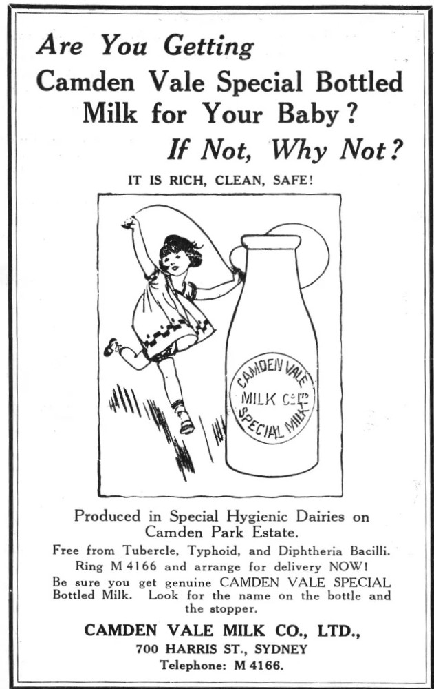
Bottled milk and hygienic dairies: agricultural modernism
Camden Vale Milk was produced by the dairies of Camden Park Estate. It was promoted as ‘Free from Tubercule, Typhoid and Diphtheria Bacilli’. Camden Vale promised that its milk was ‘rich, clean’ and ‘safe’ in an advertisement for the 1931 Health and Baby Welfare Week.
Share this:

Share this:
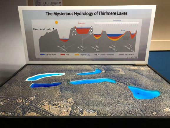
Reflections on the Thirlmere Lakes Science Information Day
The Thirlmere Lakes Science Information Day was held at Picton Bowling Club in February 2020 with the presence of researcher, decision makers and community members.
Share this:

Share this:
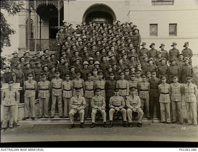
Exploring Studley Park’s Role in Army Training 1939-1945
Studley Park in Narellan, NSW, served as a military training facility for the Australian Army Service Corps during World War II. It was leased by the Department of Defence in 1939 then purchased from its pre-war owners. Post-war, it transitioned into civilian use, notably becoming a golf club.
Share this:

Share this:
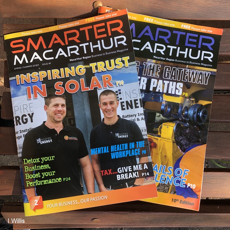
A new Macarthur regional masthead
A new Macarthur regional masthead called Smarter Macarthur magazine.

