
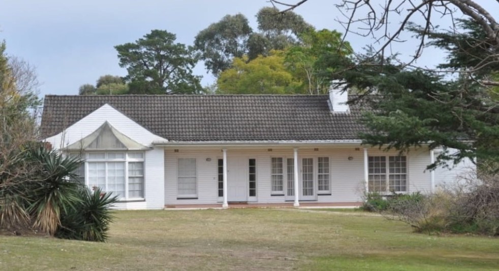
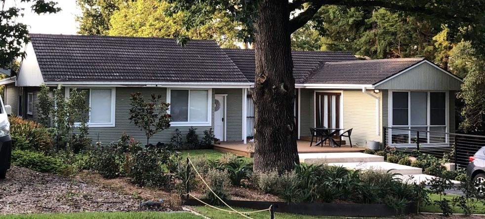
Camden's mid-century housing, developed between the 1940s and 1970s, reflects a worldwide modernism movement. Characterized by simple lines and open spaces, these homes arose amid urban growth linked to the new jobs created by the Burragorang coalfields. Unfortunately, many of these historic structures are disappearing, necessitating greater recognition and appreciation of their significance.
Tag: Burragorang Valley

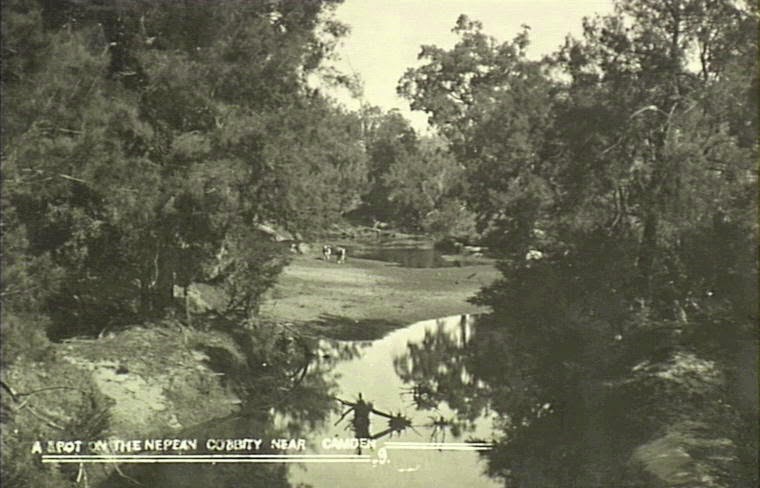
Burragorang Coalfields: From Prosperity to Closure
The Burragorang Valley's coal mining history spans from the early 1800s to the closure of the last operational mine in 2000. The community relied on coal for jobs, but the inevitable end affected the region. International mining companies became involved, and the introduction of electricity transformed mining processes. Many mines opened and closed throughout the years, leaving a rich and complex history documented in various sources.
Share this:

Share this:
Types of Mid-Century Modernist Housing in Camden
This blog post discusses the types mid-century houses of the Camden NSW area that were built as part of the economic growth and development created by the Burragorang coalfields. These houses were built between the Second World War and the early 1970s, have a variety of residential architectural styles are located south of the town centre, in Elderslie and at Narellan.
Share this:

Share this:
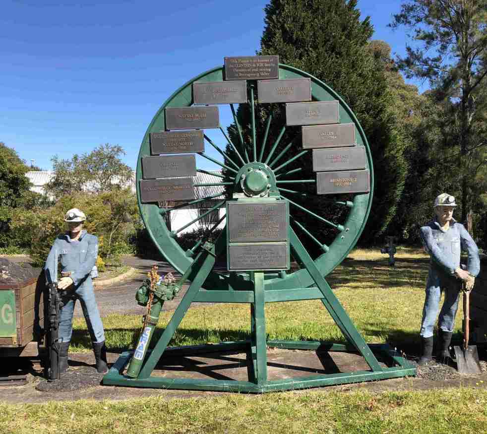
Camden Teamsters Memorial, when the horse was king on the Yerranderie Road
Tribute to mining and industrial heritage If you wander along the John Street heritage precinct, you will come across a quaint monument with a large wagon wheel reminding you of when the horse was king on the Yerranderie Road. The Camden Teamster's Memorial is on John Street, Camden. The memorial is between Macaria, a… Continue reading Camden Teamsters Memorial, when the horse was king on the Yerranderie Road
Share this:

Share this:
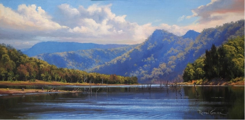
The Burragorang Valley, a lost Gothic fantasy
The Burragorang Valley is a lost Gothic fantasy where many people were attracted to the grandeur and beauty of the valley's landscape. Much of the valley's mystery has been lost under Lake Burragorang.
Share this:

Share this:
History Magazine photoshoot for RAHS captures a window into the past in Camden
A photo shoot for the History Magazine of the Royal Australia Historical Society at Camden NSW captures a window into the past.
Share this:

Share this:
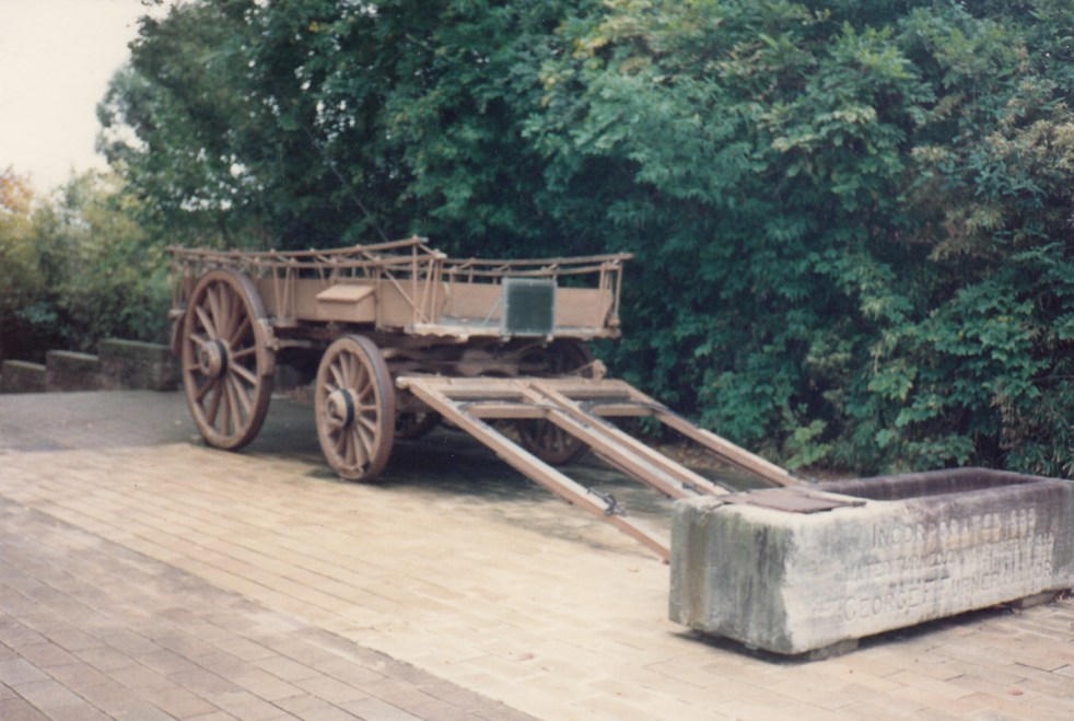
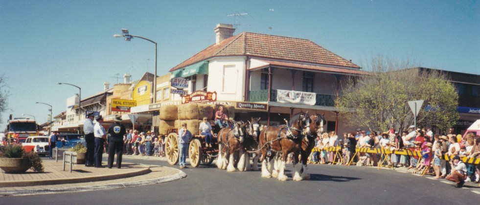
The Bennett wagon, a piece of transport history
The historic Bennett (Percival) Wagon is a cultural icon of a different time when horse and bullock teams were kings of the road.
Share this:

Share this:
Richlands, an outpost of a colonial farming empire
The Richlands estate, north of Goulburn in the NSW Southern Tablelands, was an important part of the Macarthur family pastoral empire for nearly 100 years. The Richlands estate acted as an outstation about one days ride west of Camden Park estate.
Share this:

Share this:
The Bicentenary of the 1815 visit by Governor Macquarie
Governor Macquarie made a second visit to the Cowpastures in 1815. It is 200 years since Governor Macquarie journeyed through the Cowpasture and 2015 is the bicentenary year visit to the local area. On Macquarie's 1815 journey to the Cowpasture he travelled with a group of colonial notables or gentlemen as he called them. Amongst those… Continue reading The Bicentenary of the 1815 visit by Governor Macquarie

