
Elderslie part of Sydney’s strategic growth
The Elderslie area has been identified in Sydney’s strategic growth plans for land releases on the metropolitan rural-urban fringe. It is a valuable exercise to see how and when Elderslie was identified as part of Sydney’s planning framework.
Elderslie was not part of the NSW Government’s first attempt at town planning with the 1948 County of Cumberland Planning Scheme. A greenbelt surrounded the metropolitan area, and Elderslie was beyond it and not destined for the development. The scheme was prescriptive and met with significant opposition, including local government and the development industry, and the scheme was dissolved in 1963.
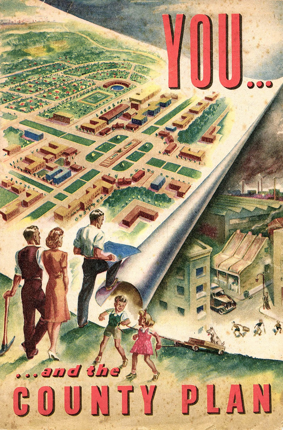
The Elderslie area was included in the next planning iteration with the Askin Government’s 1968 Sydney region: Outline plan 1970-2000 A.D.: a strategy for development. This plan led to the 1973 New Cities of Campbelltown Camden Structure Plan and the Commonwealth Government’s Macarthur Growth Centre. This plan offered flexibility and changes and turned into a developer’s dream. Sydney’s urban sprawl continued to spread, and nothing much eventuated at Elderslie. (Ashton & Freestone 2008)
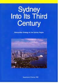
The first hint of real change at Elderslie occurred with the third strategic plan: the 1988 Sydney into its third century: a metropolitan strategy for the Sydney region. This plan envisaged that Sydney’s growth would be contained in newly developing areas along the transport routes: Northwest, Southwest, Bringelly and Central Coast, with higher densities to consolidate Sydney’s growth. (SRANSW 1995) These plans resulted in suburbia encroaching on the boundaries of Elderslie with the development of Mount Annan, Narellan Vale, Harrington Park and surrounding suburbs.
Air pollution and water quality issues in the Hawkesbury-Nepean catchment further postponed the rezoning of land in the Elderslie area beyond 1990. (BBC Consulting) Meanwhile, another new metropolitan plan appeared in 1995, Cities for the 21st Century.
The Elderslie Urban Release Area was identified by the Department of Urban Affairs and Planning in 1995 under the 1980 Urban Development Program managed by the department. (BBC Consulting 1998) At the time, the department was looking for opportunities to drive Sydney’s urban growth (SRANSW 1995) and the identification and coordination of new residential land. (BBC Consulting 1998) The Elderslie Release Area consisted of 180 hectares, and it was envisaged that the area might yield 2800 lots, which was revised down to 1700 lots. (BBC Consulting 1998)
Sydney’s strategic planning was further updated with the 1998 Shaping Our Cities. This plan called for higher densities with familiar themes of better integration of land use and transport and promotion of suburban activity centres with a more explicit concern with urban design at a regional scale. (Ashton & Freestone 2008)
In 2000 the state government identified the Elderslie Urban Release Area for redevelopment under NSW Urban Development Program. The Elderslie area was zoned rural then, with a minimum subdivision of 40 ha. (Godden, Mackay and Logan 2001)
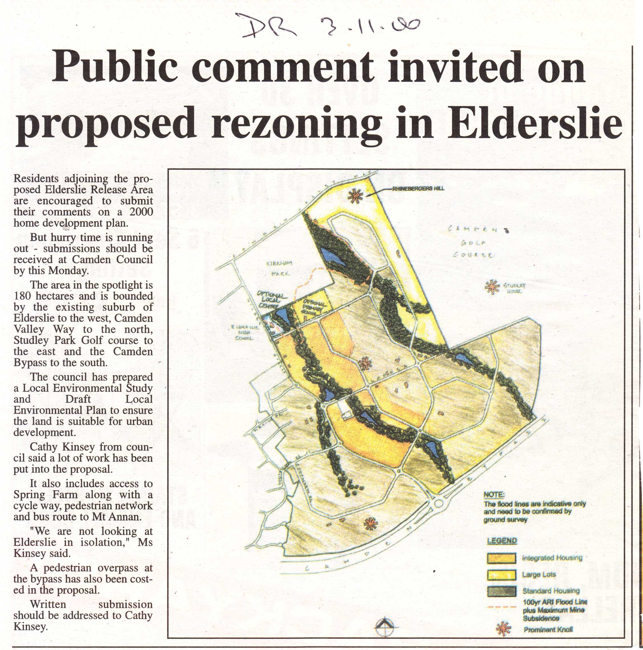
The 180 ha. Elderslie Release Area was developed as part of the Camden Local Environmental Plan No 117 when it was put on public display in 2000 to replace the Camden LEP No 46. The LEP described the desired character of the area in a list of planning controls and was legislated in 2004. (Godden, Mackay and Logan 2001)
Elderslie was within the South West Growth Centre as part of the 2005 City of Cities: a plan for Sydney’s future metropolitan strategy of the state government. The plan reflected familiar urban planning themes of the end of sprawl with a more compact city, higher densities, sub-regional centred, transport integration and urban design. (Ashton & Freestone 2008)
Elderslie land releases
The names given Elderslie land releases range from the commodification of the rural aesthetic of the local area to a locality name, names of local identities or hints of the historical past.
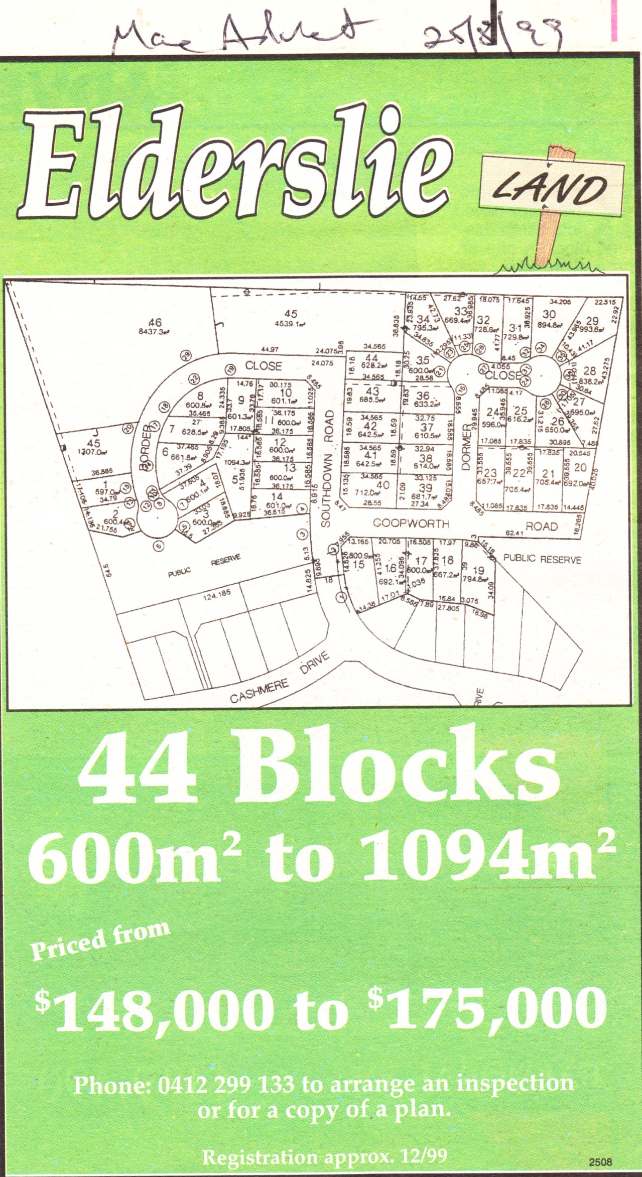
1999 Elderslie
2000-2014 Elderslie Masterplan and community meetings
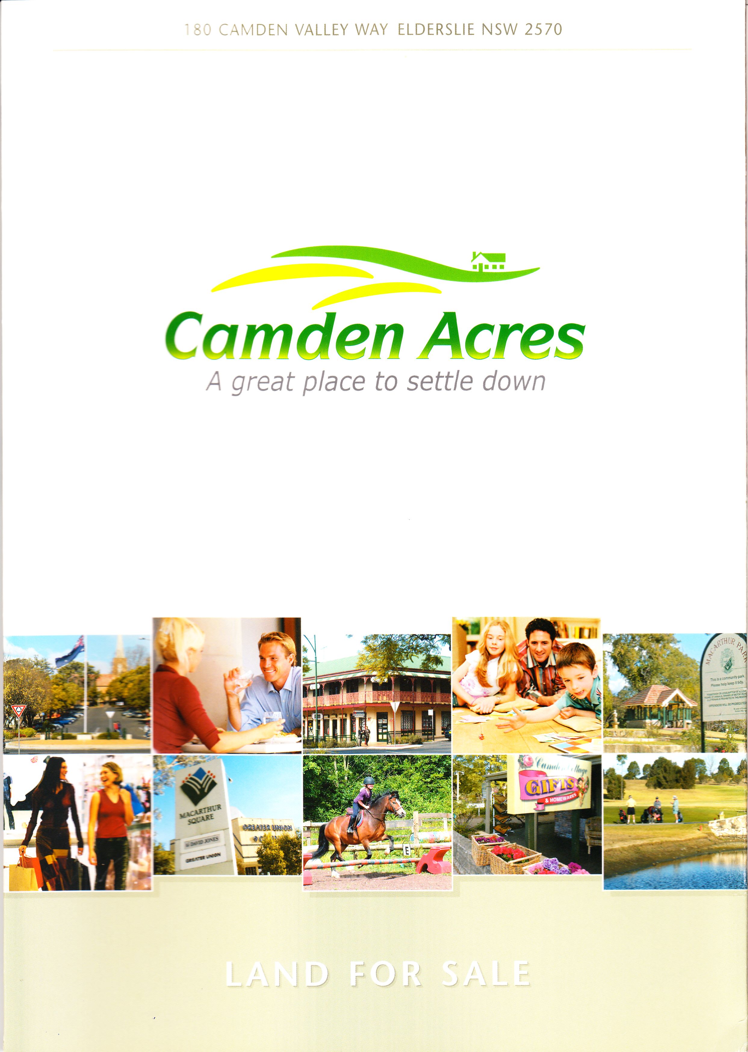
2004-2007 Camden Acres
2005-2014 The Ridges

2007-2014 Vantage Point
2008-2009 Camden Hillside
2009 Mount View Estate
2010 Elderslie Estate
2010-2012 Hillcrest
2011-2013 Merino
2012-2013 Camden Heights
2013 Studley Park
2016 Franzman Ave
2017 Lodges Road
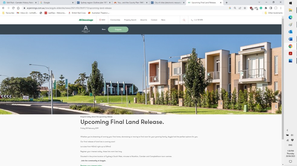
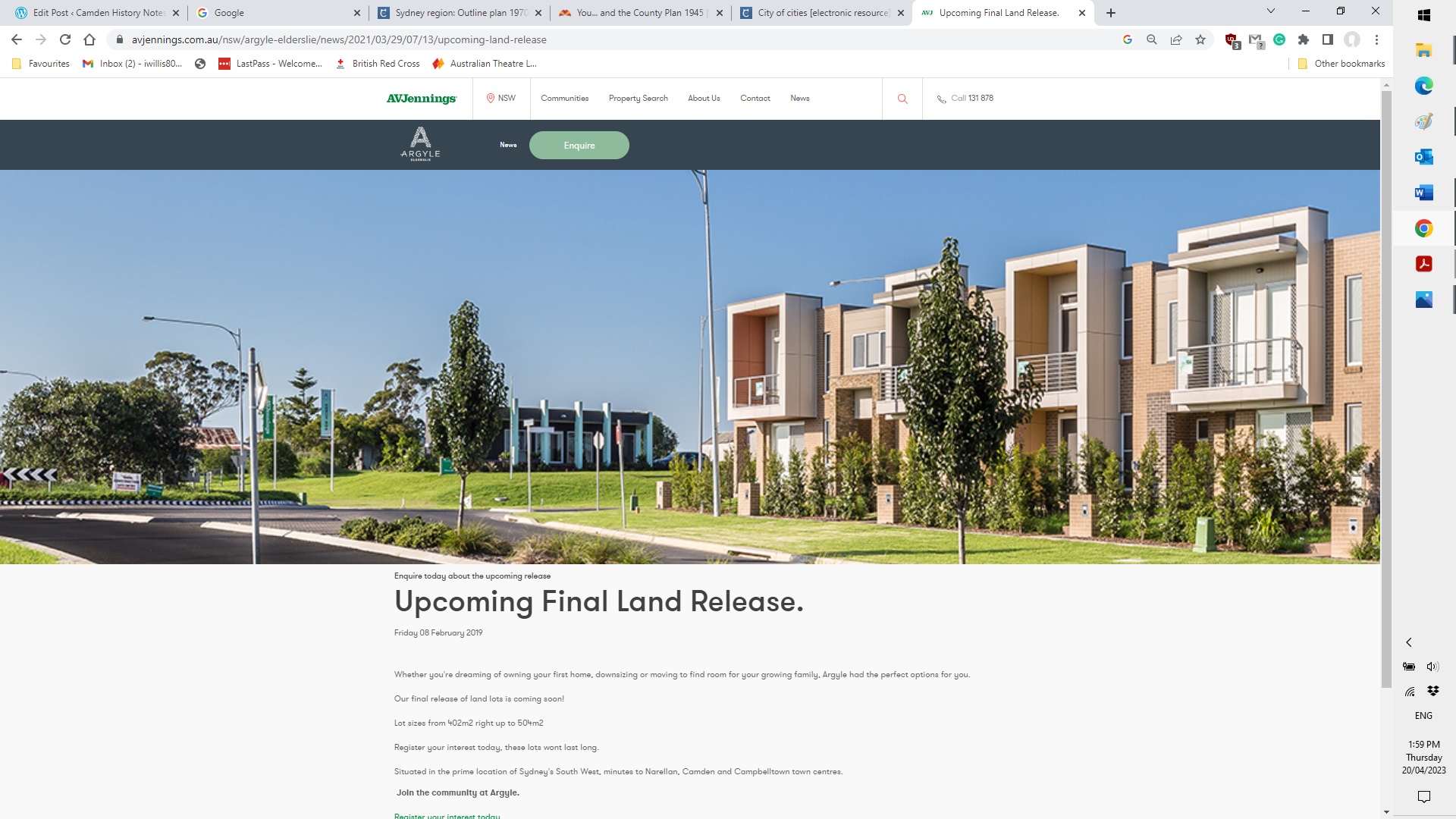
2017-2023 Argyle
References
BBC Consulting 1998, Elderslie Open Space and Social Plan. Camden Council, Camden.
State Records Authority of NSW 1995, Department of Environment and Planning (1980- 1988) Department of Planning [I](1988-1995). Online at https://researchdata.edu.au/department-environment-planning-i1988-1995/164536 Viewed 18 April 2023.
Ashton, Paul, Freestone, Robert, Planning, Dictionary of Sydney, 2008, http://dictionaryofsydney.org/entry/planning, viewed 18 Apr 2023
Godden, Mackay and Logan 2001, Elderslie Urban Release Area Heritage Assessment. Camden Council, Camden.
Discover more from Camden History Notes
Subscribe to get the latest posts sent to your email.

