

The Elderslie area has been identified in Sydney’s strategic growth plans for land releases on the metropolitan rural-urban fringe. It is a valuable exercise to see how and when Elderslie was identified as part of Sydney’s planning framework.
Tag: urban sprawl


Campbelltown City Council office extension 1982 – an example of mid-century modernism
In 1982 Campbelltown City Council had the official opening for the brutalist administration building. Combined with the adjacent 1964 modernist office building they are an outstanding example of mid-century modernism in the Macarthur region
Share this:

Share this:

The Camden district in 1939
The 1939 Camden district concept was developed in the 1990s by UOW historian Dr Ian Willis as part of his research on the effect of the Second World War on Camden township.
Share this:

Share this:
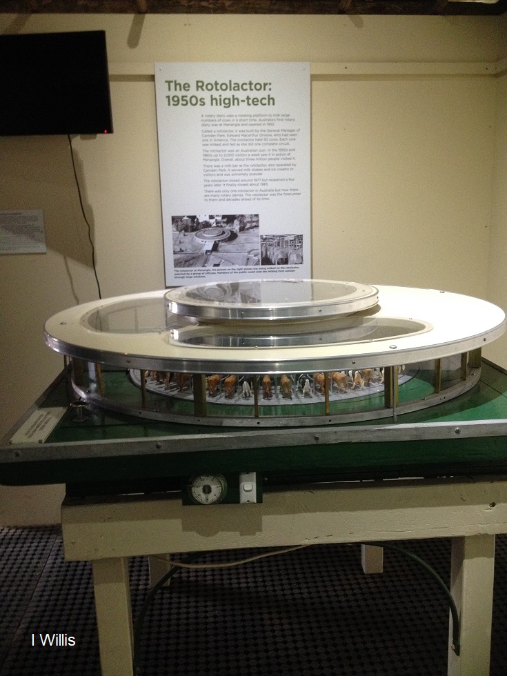
The Rotolactor, a Menangle milking marvel
The Rotolactor was Menangle's milking marvel. A rotating dairy that was a tourism attraction and an example of industrial modernism on the colonial property Camden Park estate.
Share this:

Share this:
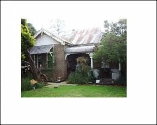
Carinya homestead, part of lost Camden
Camden Council voted to demolish the 1890 Carinya Cottage in Harrington Park, based on reports that it lacked local significance and associative value. This decision reflects a larger issue of neglect for heritage in New South Wales, with a lack of protection for historic sites and a conflict of interest in the assessment process. The political climate prioritizes development over heritage protection.
Share this:

Share this:

Elderslie, a suburb on Sydney’s fringe
A history of continuity and change Elderslie is a suburb of Camden, the traditional land of the Dharawal people. It lies on the southern end of the Camden Municipality, 62 km southwest of Sydney, on the rural-urban fringe. Elderslie borders the Nepean River to the west, Narellan Creek to the north, Camden By-Pass to the… Continue reading Elderslie, a suburb on Sydney’s fringe
Share this:

Share this:
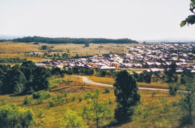
Sydney’s urban sprawl invades the Macarthur region
Urban sprawl has invaded the Macarthur region. It is re-run of the planning policies of the 1970s.

