
Camden Council voted to demolish the 1890 Carinya Cottage in Harrington Park, based on reports that it lacked local significance and associative value. This decision reflects a larger issue of neglect for heritage in New South Wales, with a lack of protection for historic sites and a conflict of interest in the assessment process. The political climate prioritizes development over heritage protection.
Tag: Camden aesthetics

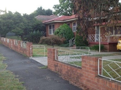
Mid-Century Modernist Homes in Elderslie
In the 1960s, modernism significantly influenced the community of Elderslie, where miners sought contemporary homes. Innovative house designs reflected mid-20th-century trends, including American Ranch styles. Australian architects, like Robin Boyd, contributed to housing projects across the country, merging modern aesthetics with traditional Federation-style homes. These trends influenced the design of local mid-century housing style, resulting in a unique urban landscape.
Share this:

Share this:
GLAM, trusted sources and the local museum
Trusted sources in the GLAM sector and the local museum
Share this:

Share this:

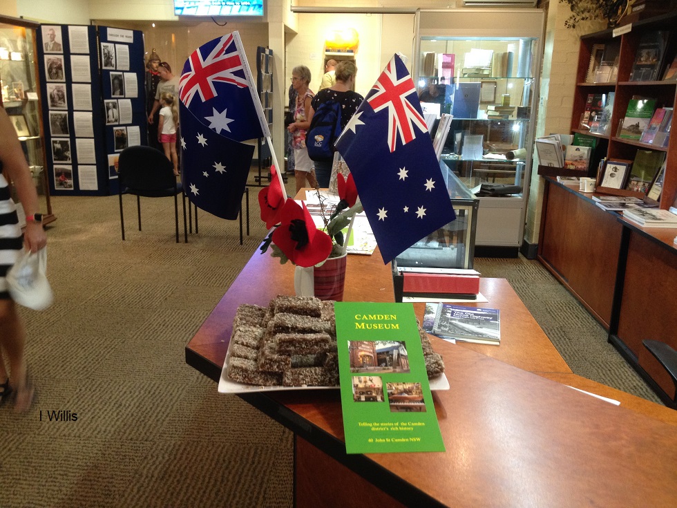
Camden Reflects on Anzac Day 2017
Camden Reflects on Anzac Day 2017
Share this:

Share this:
Richlands, an outpost of a colonial farming empire
The Richlands estate, north of Goulburn in the NSW Southern Tablelands, was an important part of the Macarthur family pastoral empire for nearly 100 years. The Richlands estate acted as an outstation about one days ride west of Camden Park estate.
Share this:

Share this:
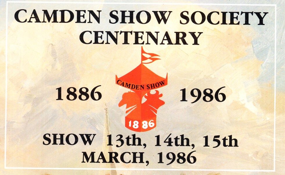
Showtime in Camden 2014
The annual festival of farming returns to the Camden Showground at the end of March again. The show has been the most crucial country festival in the district for over 100 years. In 2019 the show attracted over 40,000 visitors and was a huge success.
Share this:

Share this:

St John’s Church Camden, the soul of a country town
On the hill overlooking the Camden town centre is St Johns Church> It is a representation of the community's historic, moral and emotional heart, its sense of place, the town's soul.
Share this:

Share this:

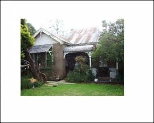
Camden needs a residential heritage-style guide
Camden Needs A Residential Heritage Style Guide to provide assistance to home owners to conserve and restore their historic cottages.
Share this:

Share this:
Ben Linden Narellan An Edwardian Gem
Ben Linden in Narellan is a notable Edwardian cottage representing early twentieth-century Australian architecture. The style emerged after the Federation of the Commonwealth of Australia in 1901, influenced by English Edwardian houses but tailored to suit local conditions. This housing style provides insight into the cultural heritage of Camden and the people who built and lived in these houses.
Share this:

Share this:
Camden modernism
Camden Modernism One of the hidden parts of the history of Camden is the influence of modernism. Few in the community know much about it at all. Yet it has an important influence on the town in a variety of ways from domestic and commercial architecture to host of other areas. Modernism is a vague… Continue reading Camden modernism

